The word “Camino” is Spanish for track or path but can also mean a route or journey. Camino’s are usually walks, such as the Camino de Santiago in Spain. However, with the increase in popularity of “social cycling” many companies now offer guided cycling tours.
I have written previously about our adventures with Andre and Mercurio Bike Travel and we are back. We have travelled to the town of Ulm, about 90 minutes drive from Munich, to start a cycling tour along the River Danube.
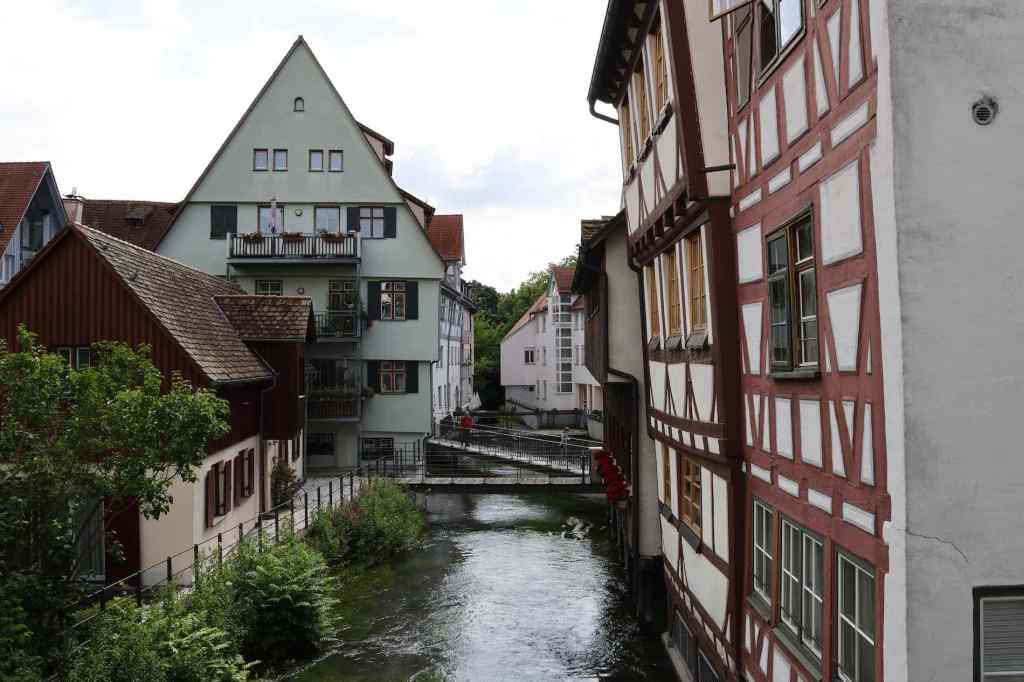
Ulm lies in the southern part of Germany and sits on the upper reaches of the River Danube at a junction of this and two other rivers, the Iller and the smaller Blautopf. The Danube forms the border between Bavaria and the German region of Baden-Württemberg and splits Ulm and Neu-Ulm in half.
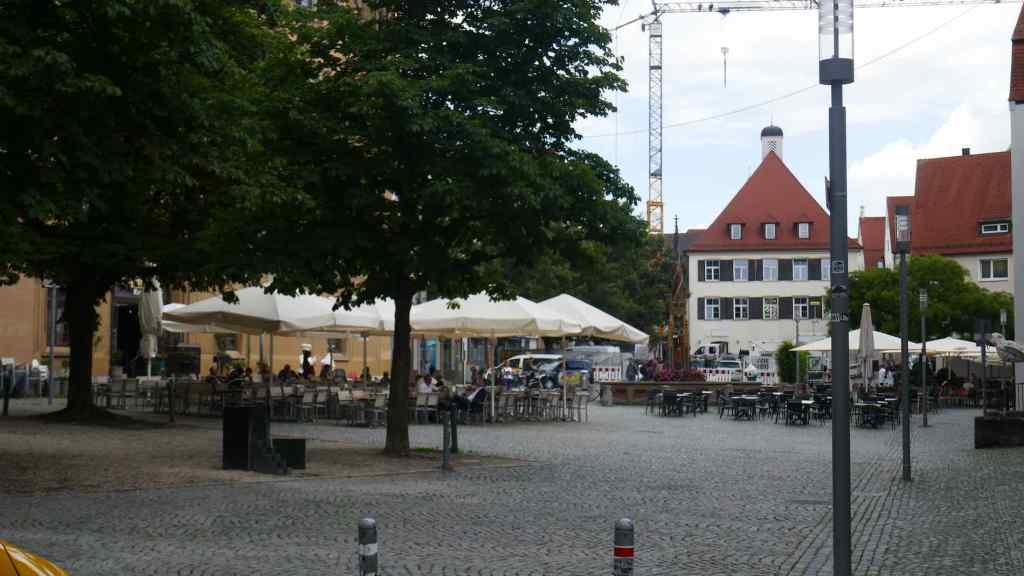

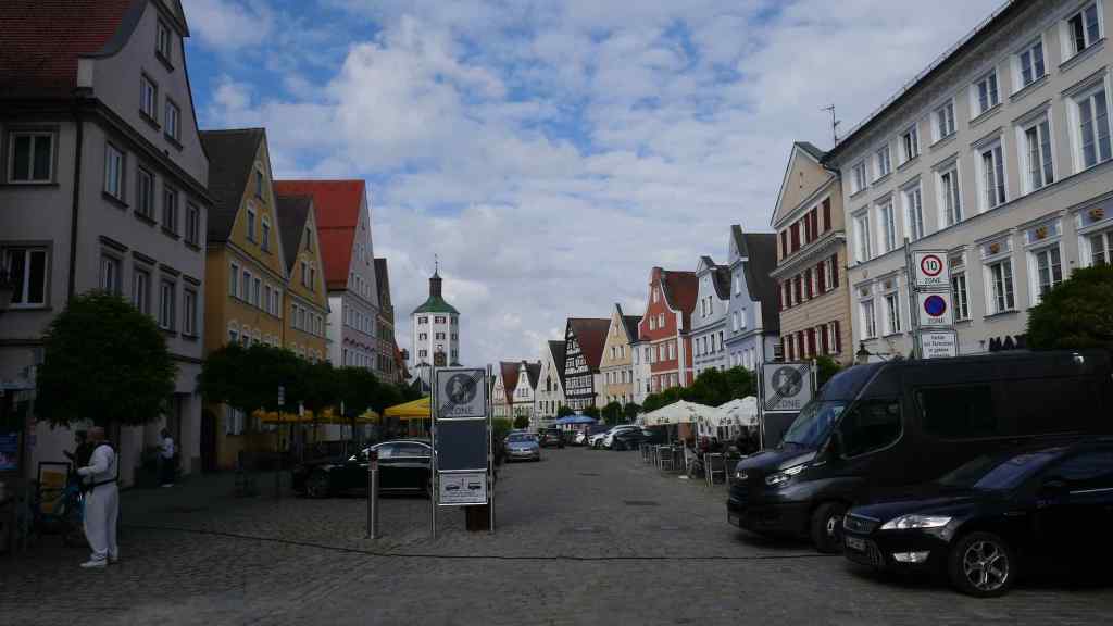
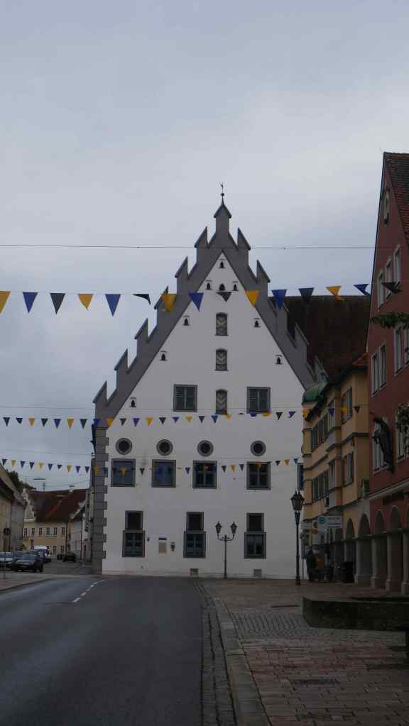
The Main Square in the old town – Ulm
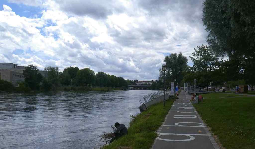
Top – The path down to the River Danube; Bottom: Our first sight of the mighty Danube. The river level is higher than normal due to persistent heavy rain.
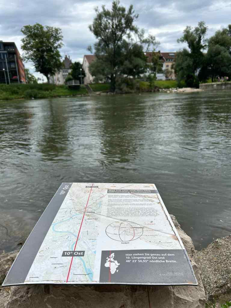
Ulm straddles the 10 degrees east line of Longitude, as illustrated with this sign.
Our restaurant on our night in Ulm – Food was very good.
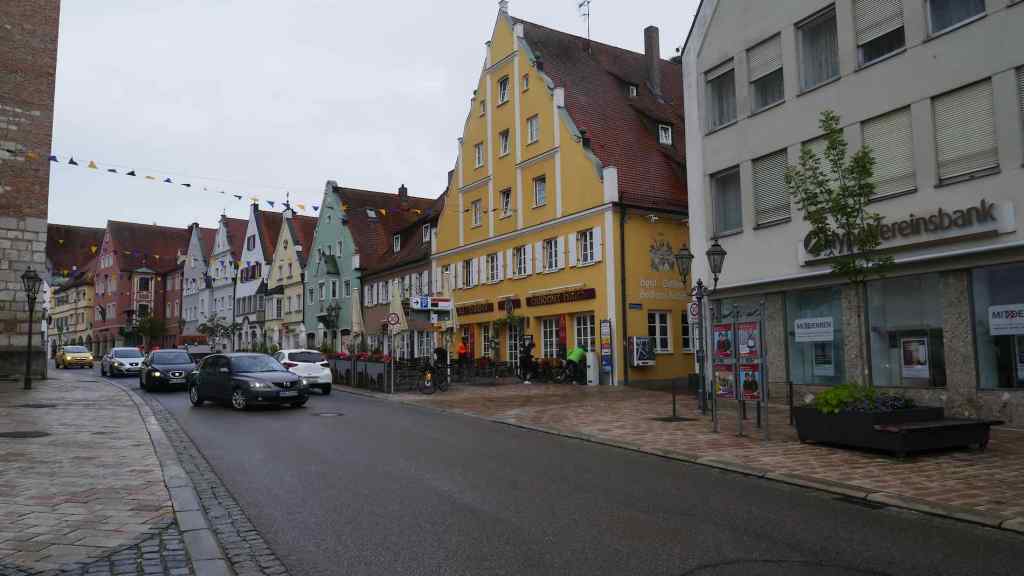
Our cycling holiday started with a guided walk around the old town area of Ulm. We were shown some lovely old buildings and told a potted history of the town.
There is evidence of a settlement in the area from Neolithic times but the first permanent settlement at Ulm was recorded in around 850 AD. In 1181 Ulm was declared an Imperial city by Frederich Barbarosa Friedrich 1st who was also Holy Roman Emperor at the time. Over the years Ulm became embroiled in several historic wars and battles including the Wars of Spanish Succession, the Thirty Years War and, following the French Revolution, the city was occupied by French and then Austrian forces. After Napoleon’s adventures in Europe, in 1810 Ulm was incorporated into the Kingdom of Worttemburg and lost its districts on the other bank of the Danube, which came to be known as Neu-Ulm.
Ulm did not escape unscathed during WW2. Much of the city was destroyed but in the years following, the city experienced substantial growth with the establishment of large new housing and industrial projects.
Ulm University was founded in 1967 and in latter years has become a high tech hub as traditional industries in the city gave way to new ones with the establishment of technical research centres for Daimler, Siemens and Nokia.
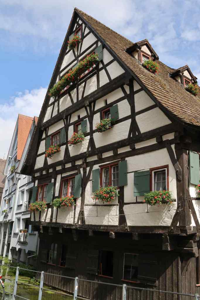


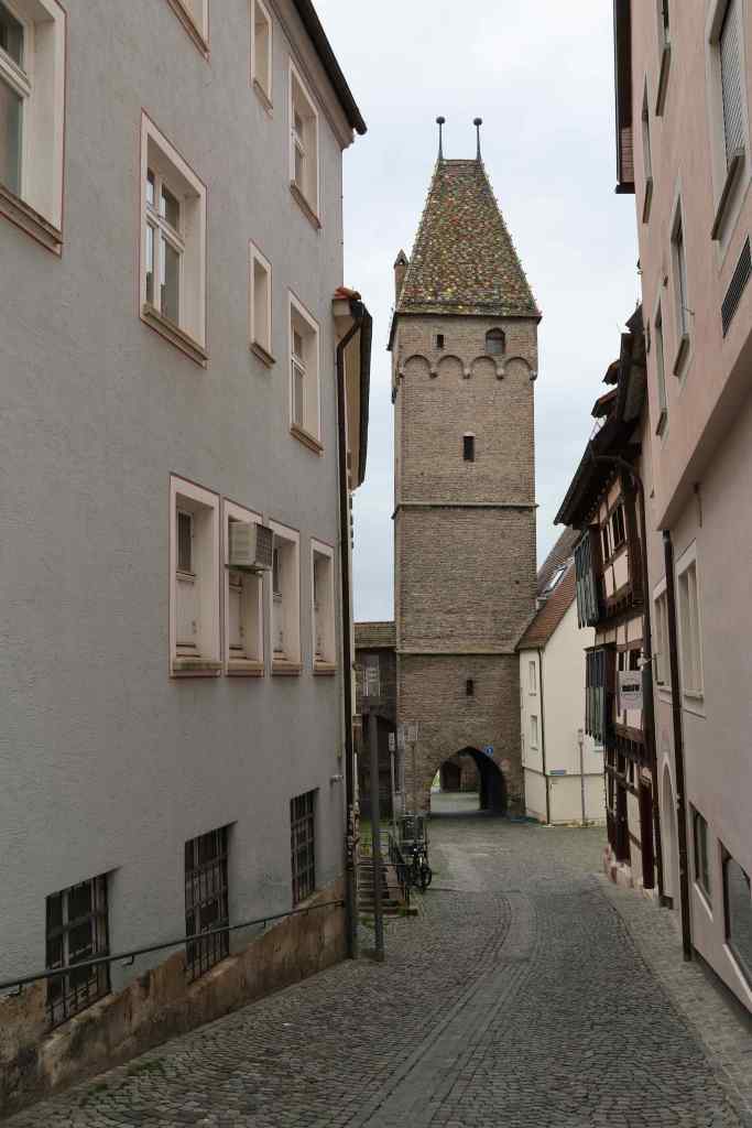
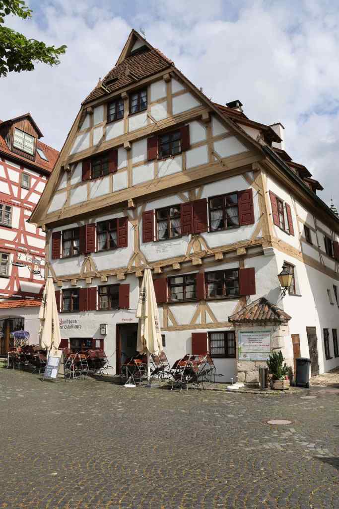
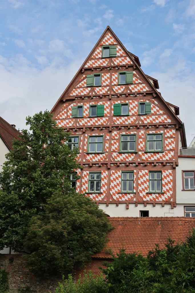
Some of the interesting sights around Ulm
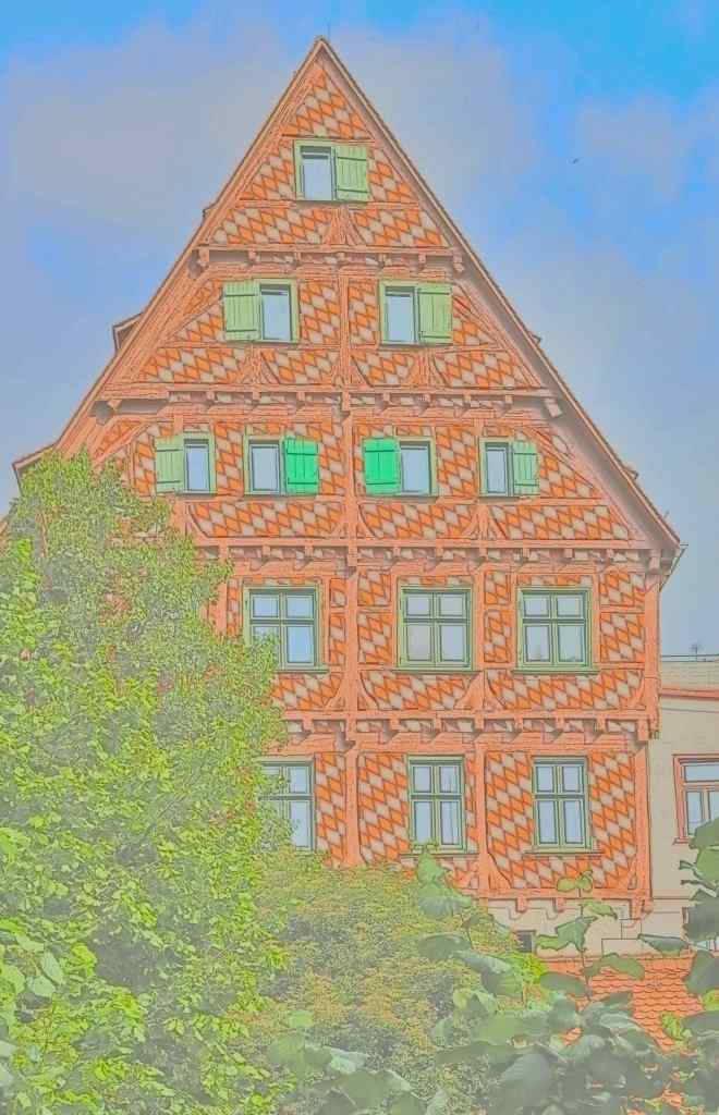
I have a new camera (Canon EOS R7) and it has some interesting features, including “Creative filters” as illustrated above. Left – Out of the camera – Right Watercolour effect


Colour and Mono of two houses


Another Colour/Mono offering.
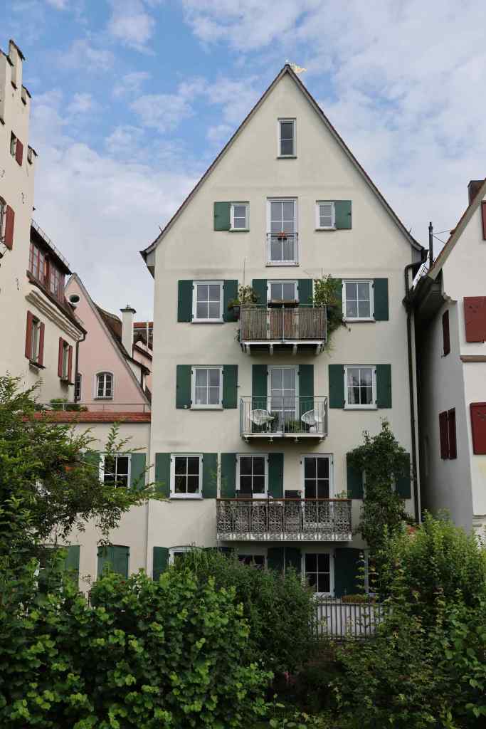
Modern Ulm retains some of its charm in the historic old town area but the newer buildings in the main business areas are of a plainer 50s and 60s design. We preferred the old town with its narrow cobbled streets and interesting buildings.


Top: “Prepare to Cycle” a quick selfie before we left Ulm; Bottom: On the cycle path leaving town.
We embarked on our cycling journey after a lovely lunch in the main square, and followed the wide riverside path in warm sunshine. However this did not last and our progress was interrupted by a heavy rain shower. This was to become the pattern for the week. Our route took us through some beautiful and colourful countryside areas, and the odd village, eventually arriving at our overnight stop in Gunzberg in the late afternoon.
It was clear as we rode in, that recent torrential rain had severely impacted the town. The Danube had burst its banks and flooded the areas closest to the river. Piles of mud and debris topped with ruined wooden furniture and cupboards were stacked up in several streets, and many dwellings were empty save for industrial heaters running to try and dry them out. I had read that several towns along the Danube had been badly impacted by flooding and as our journey progressed we would see further evidence of this.

Top: Lyn rests before we head out for a pre dinner drink in Gunzburg; Bottom: Enjoying that pre-dinner drink
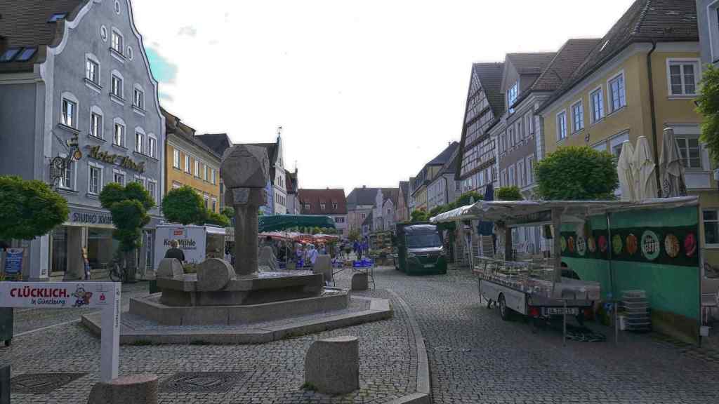
Described by our guide as a sleepy town, Gunzburg has a long history dating back to Roman times. As we assembled in the market square the next morning for our onward journey, it was market day and the traders were already busy selling their wares to the locals. A quick wander round suggested that this market was thriving and busy, even at 9am!

Gunzberg – Market Day

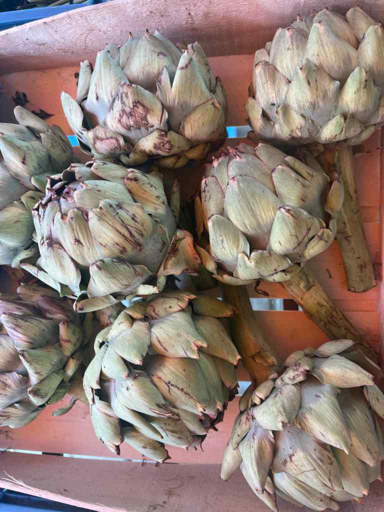
More produce on the market
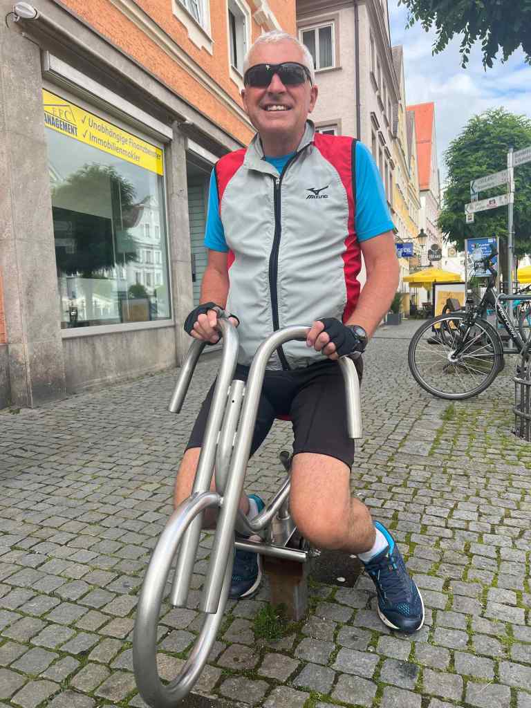
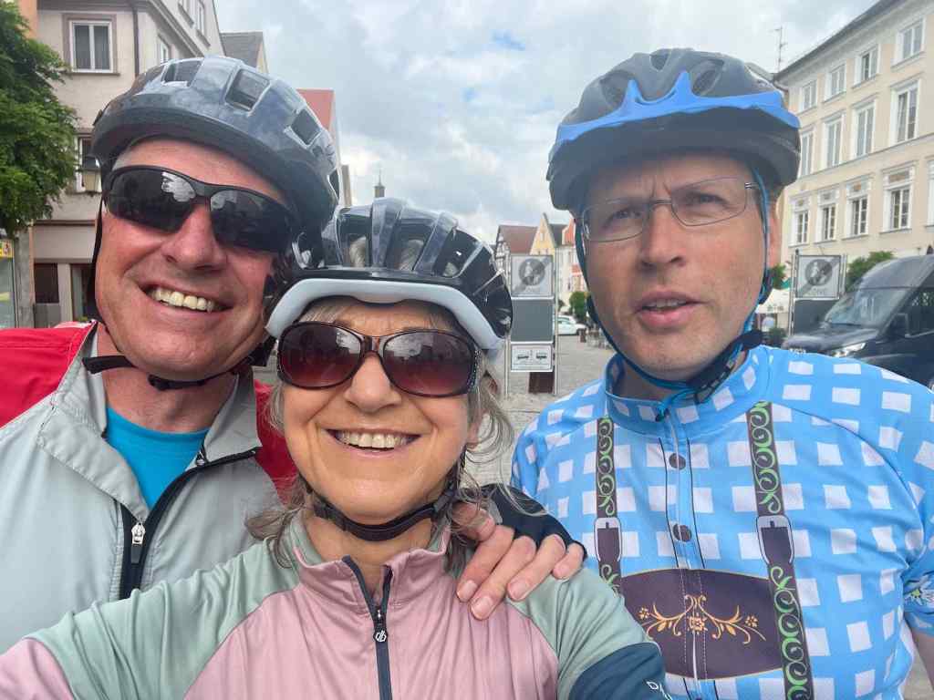
Top: Going no-where fast on this bike!; Bottom: Lyn, me and Andre, our guide.
Our plan for today was to cycle as far as Bleinheim and catch a train to our final destination of Donnauworth. Before then was a long cycle ride. We had been riding for an hour or so when we came across a small cafe at the junction of our cycle trail and a road in the middle of no-where. Time for coffee and cake came up the call from the group…….well it would be rude not to!
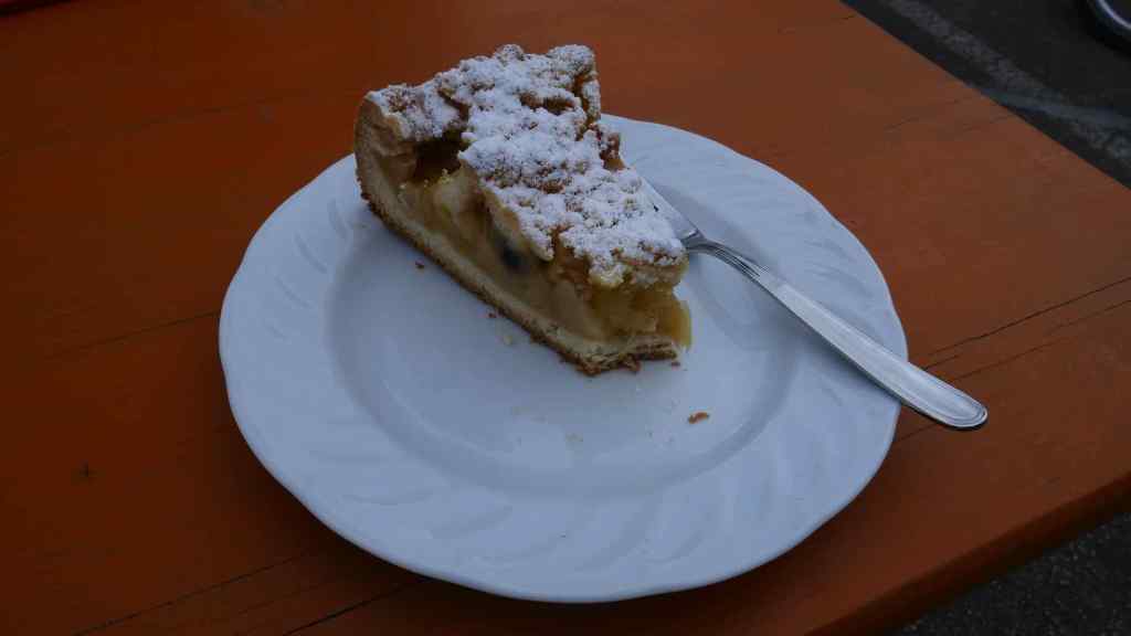

The cafe stop – The cake was lovely
Whilst at the cafe we met a young Welsh couple who were doing a slightly longer ride than us which they described as “The Source to the Sea”. Theirs was a two month 1800 mile epic ride from the source of the Danube to the Black sea coast somewhere in Romania. They said they were about a week in and were mostly camping each night. We wished them good luck as we departed.

Top: On the trail with Andre leading; Bottom: Crossing the Danube…….again

A “History Tree” – This tree was planted or seeded before 1789 as this is the date of the first event – The French revolution. The last event is 2002 where I assume the Euro came into being and maybe the tree was cut down.
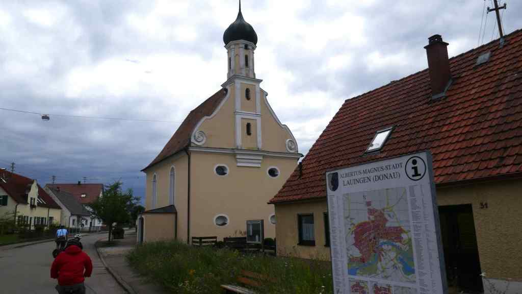
Back on the trail, suitable refreshed we eventually rode into a village by the name of Faimingen. We paused here to visit something I was surprised to see – evidence of roman occupation from years ago in the form of the ruins of a Roman temple.
The Apollo-Grannus-Tempel was tucked away in a corner of a quiet residential area in the heart of the village. Excavations began in 1888 and what is left has been very well preserved. There was a large information board along one side, sadly only in German but Andre explained the gist of what we were looking at. What fascinated me more was how close the houses were built to the temple.
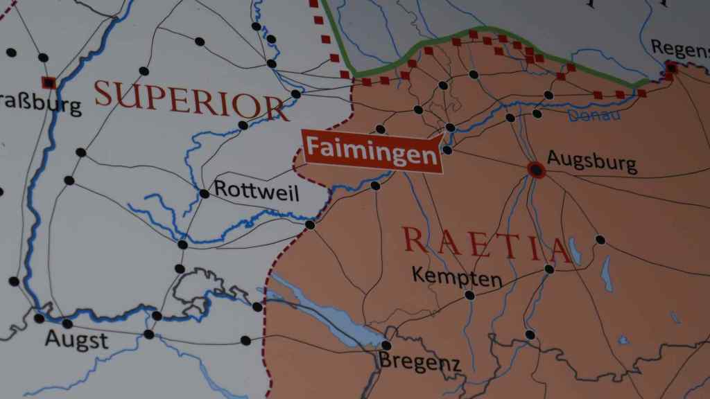
Top: Map showing Faimingen and the Roman site; Bottom: Cycling towards the Roman site

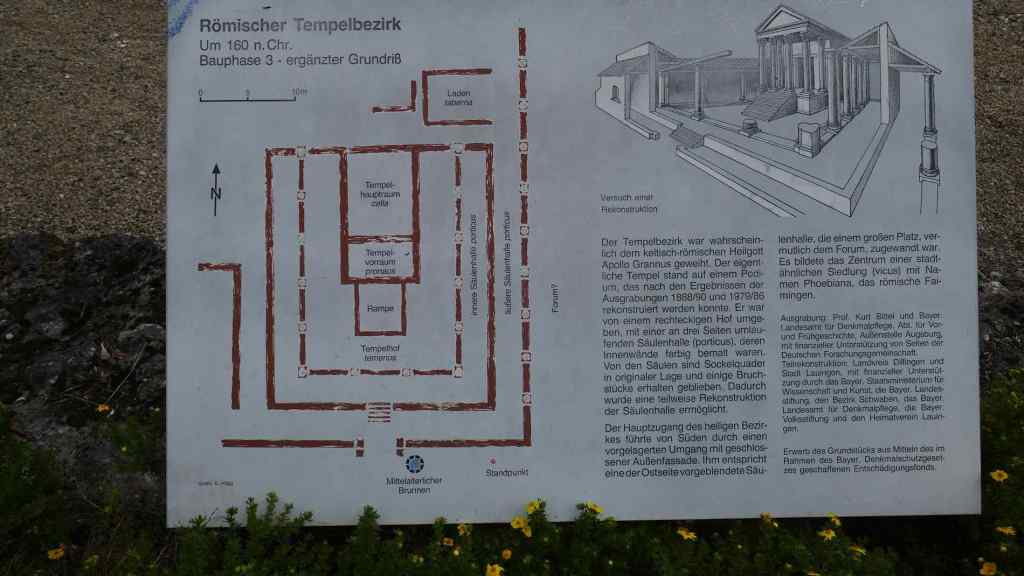
Top: The site of the Roman settlement at Faimingen; Bottom: Layout of the temple.

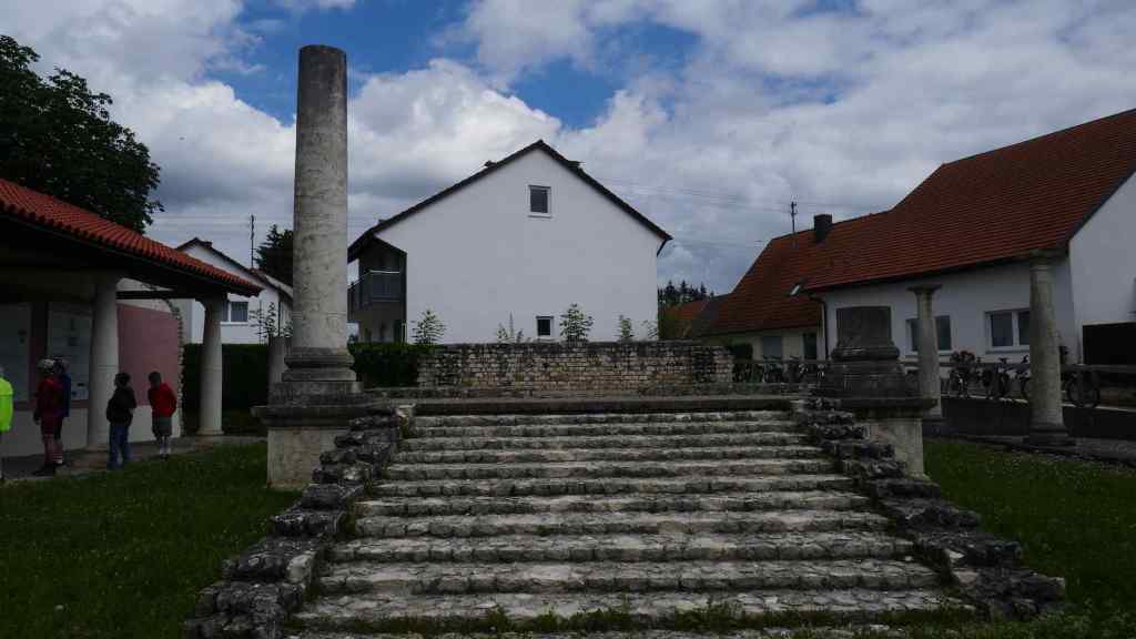
The Roman ruin at Famingen
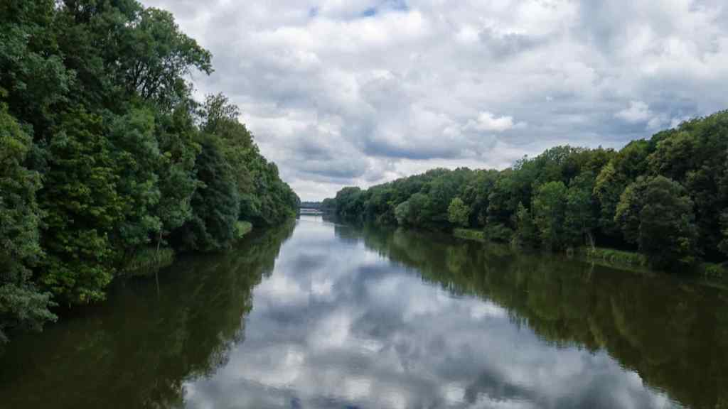
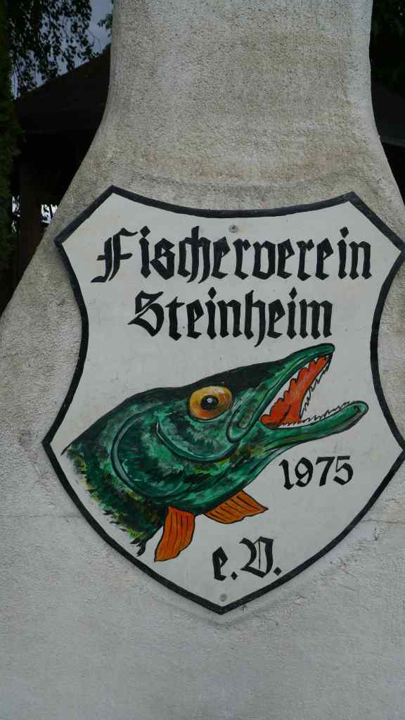
Back on the trail we came across newly relaid paths following flood damage. These paths were difficult to ride because they were so soft but we eventually reached our lunch spot at a woodland park near the village of Steinheim without incident. The park had couple of small lakes which provided a short photo opportunity.

The re-laid path following flood damage. The soft sandy surface made cycling difficult.
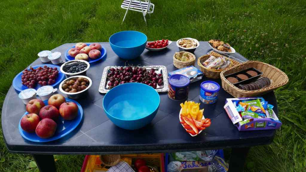
One of two lunch tables prepared by Andre’s assistant Marco
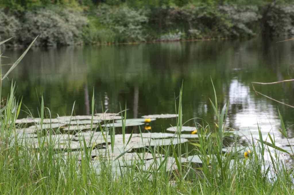
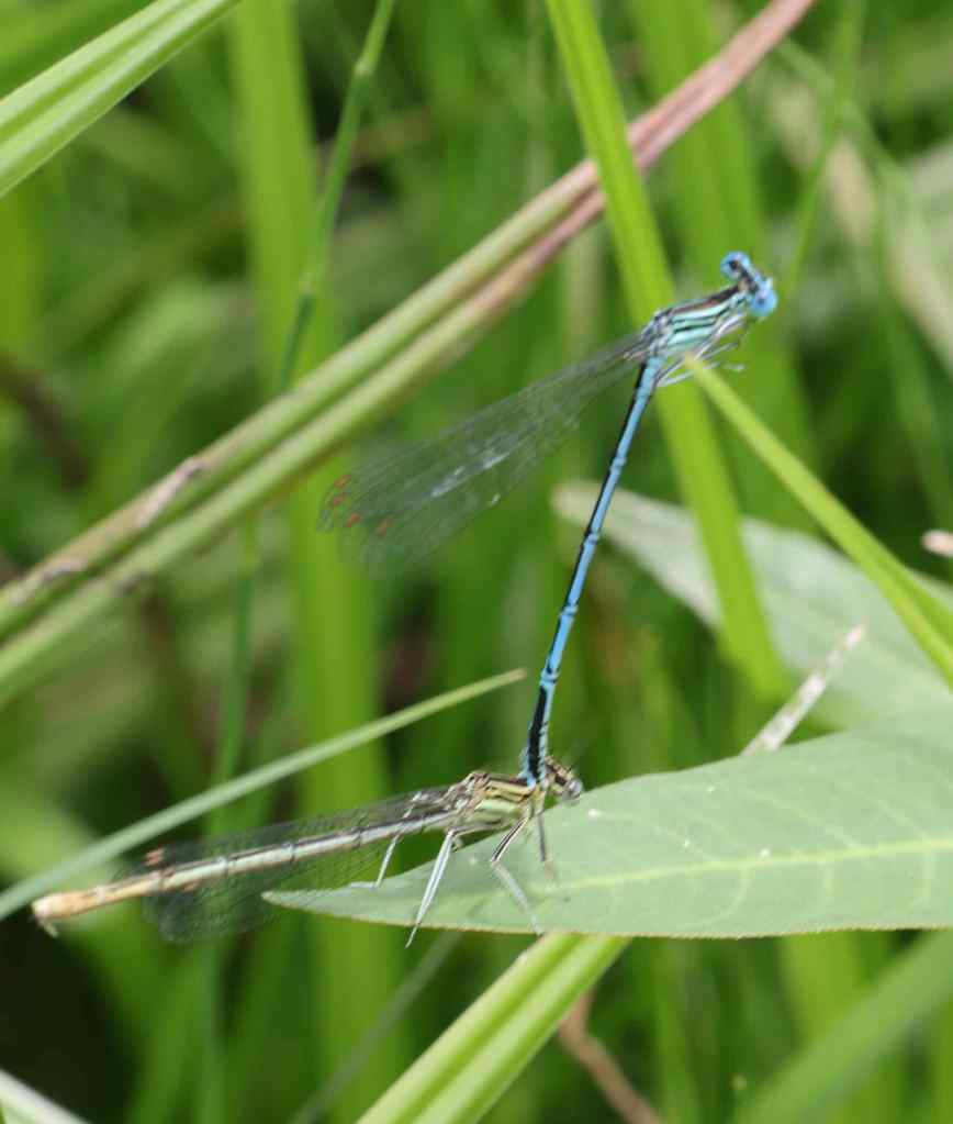

Scenes from the lunch stop near Steinheim.
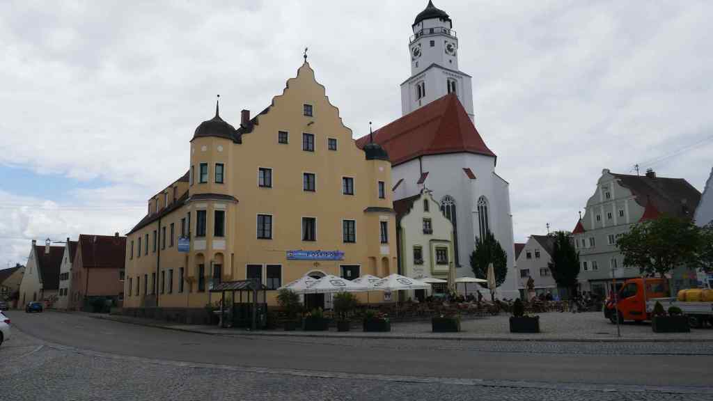
The main square of Steinheim – we passed through after lunch

A short while after lunch we arrived at the rail station to catch the train that would whisk us to Donnauworth. We discovered that for some unknown reason the trains were not running (know that feeling!) so the group elected to ride the 13 miles to our destination. Why not, after all it was a cycling holiday and the weather was dry and warm. The route and scenery was flat and featureless but the ride only took a couple of hours with rest breaks.
As we rode into Donnauworth we cycled past the massive Airbus factory on the outskirts of the town. It was shift change, so it was very busy. A quick google search revealed that Airbus Donnauworth is the company’s centre for designing and making military and civilian helicopters. Interestingly I found a shop window in the town was dedicated to celebrating their products, not that you would be able to buy a military helicopter from there!

Donauworth Main Street

The church at the top the main street in Donauworth
Interesting house at the top of the street – Donauworth
Part 2 will describe our journey from Donauworth to the end of our journey at Regensburg.
