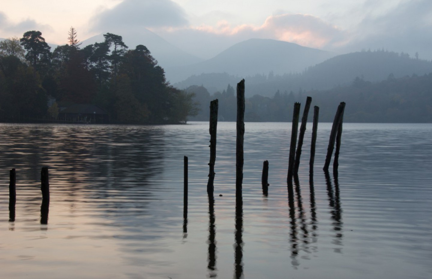
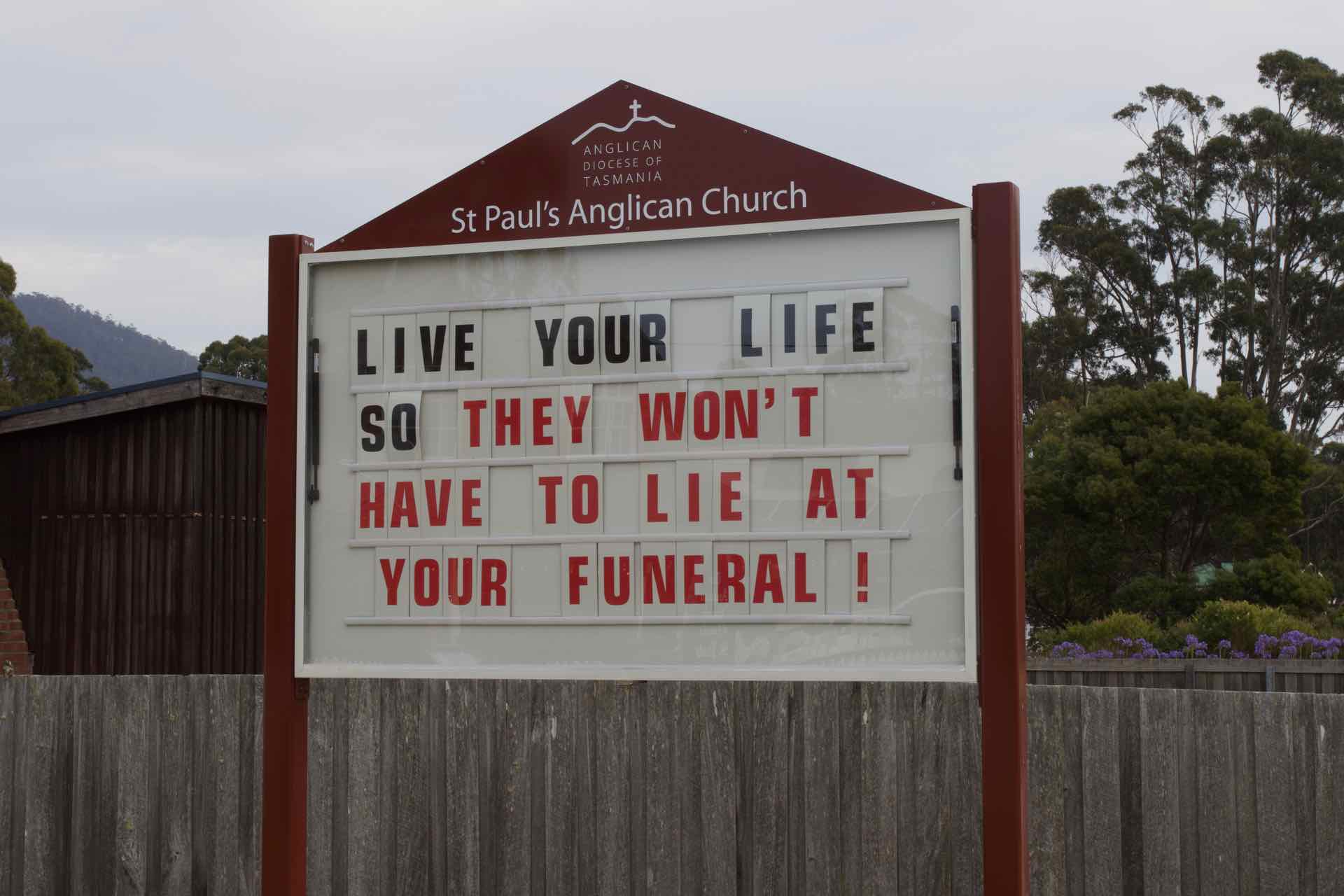
As I mentioned in my previous blog “Our Tour de Tassie”, we have arrived in Kettering. I also noted that there was not much here, however one reason for coming here was to visit Bruny Island, a short ferry ride across the D’Entrecasteaux Channel. We also had in mind visits to Geeveston, the Tahuna Air Walk (in the rain forest across the peninsular), and Mount Wellington, Tasmania’s highest mountain which dominates the Hobart skyline. However, events locally soon took a hand.
It is summer time in Tassie (one reason for being here) and last winter and spring was exceptionally dry in some areas, relative to normal standards and this, coupled with a prolonged hot and dry period in early summer, has meant that the bush is parched. About two weeks before we arrived, some areas of Tasmania endured horrendous lightning storms (like thunderstorms but with no rain) and this has led to a number of bushfires in the central plain, in the southwest and Huon Valley, close to Kettering. We were advised by our hosts to monitor the Tasmania Fire Service website on a regular basis (we still are) to learn more about where we could go and where to avoid. As we arrived in Kettering, the whole area the other side of the peninsula was subject to “Watch and Act” notices for locals to implement bush fire plans as needed. This meant that although accessible, the advice for tourists was to avoid these areas. With this in mind we decided to visit Bruny Island and see how the situation developed in the other areas.
Our visit began with the aforementioned ferry ride. Just turn up on the day, pay your A$38, join a traffic queue and drive on. They run every 30 mins in the morning to the island and we made the one we had targeted. No luxuries on this ferry, you step out of your car on to an open deck and pass the 20 mins or so sailing time watching the coast line approach or the birds swoop low over the sea to feed.
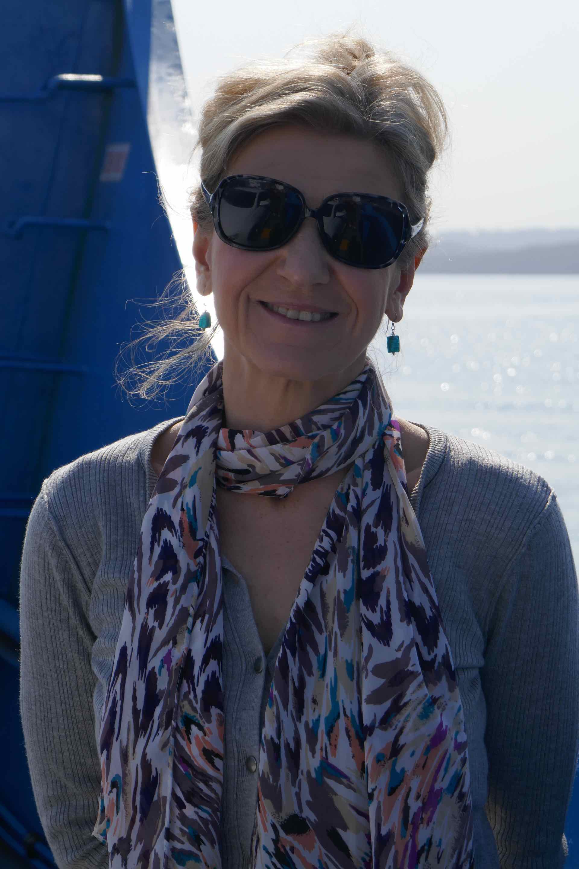
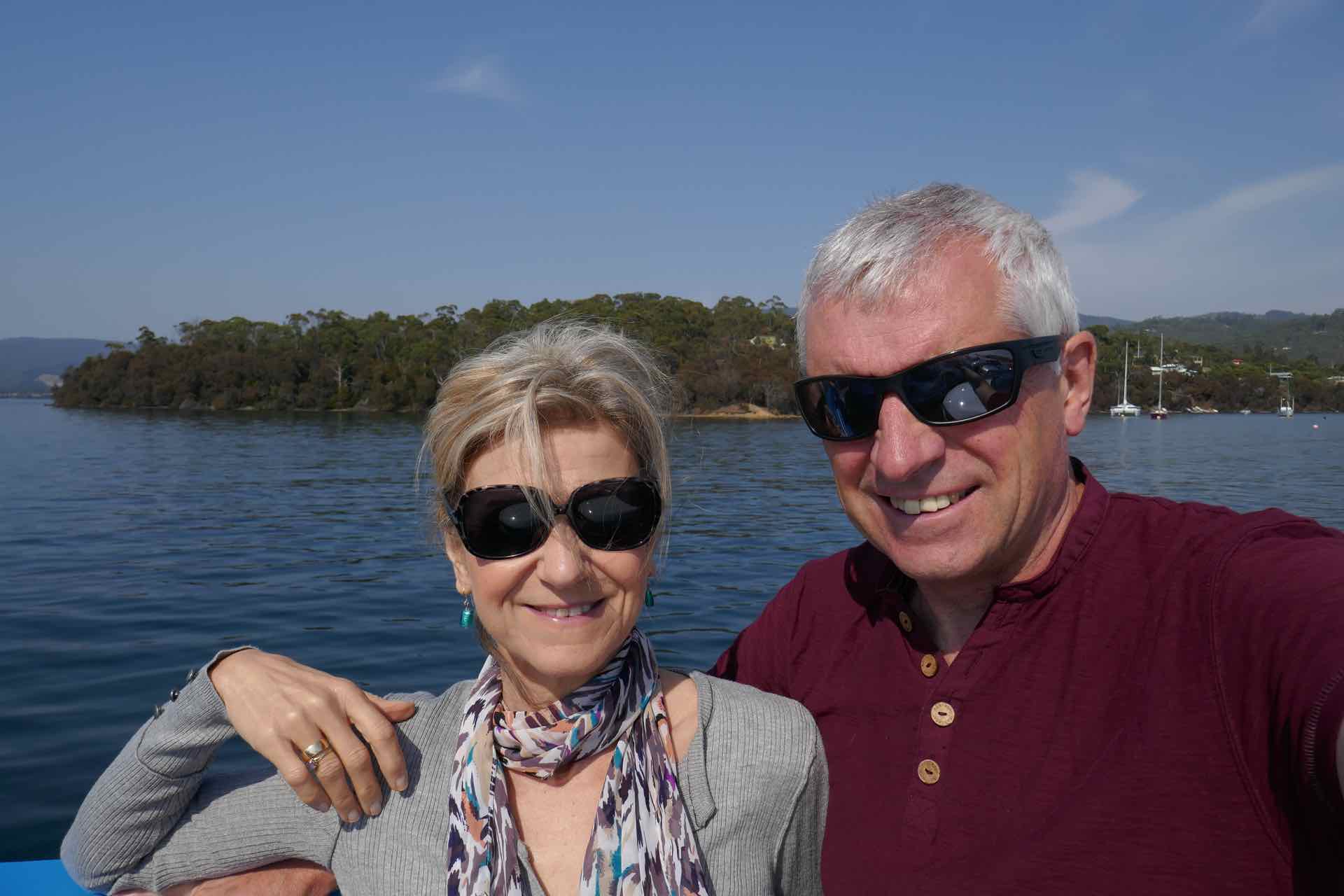
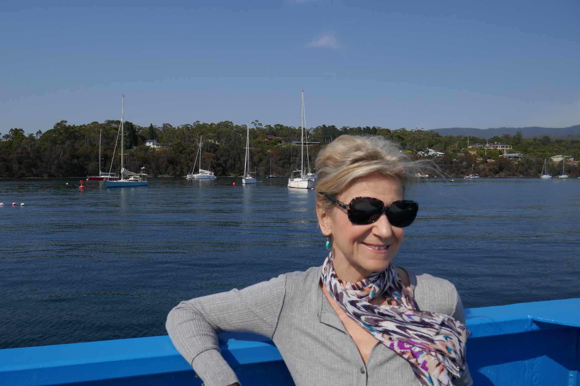
Us on the Bruny Island Ferry with Kettering in the background
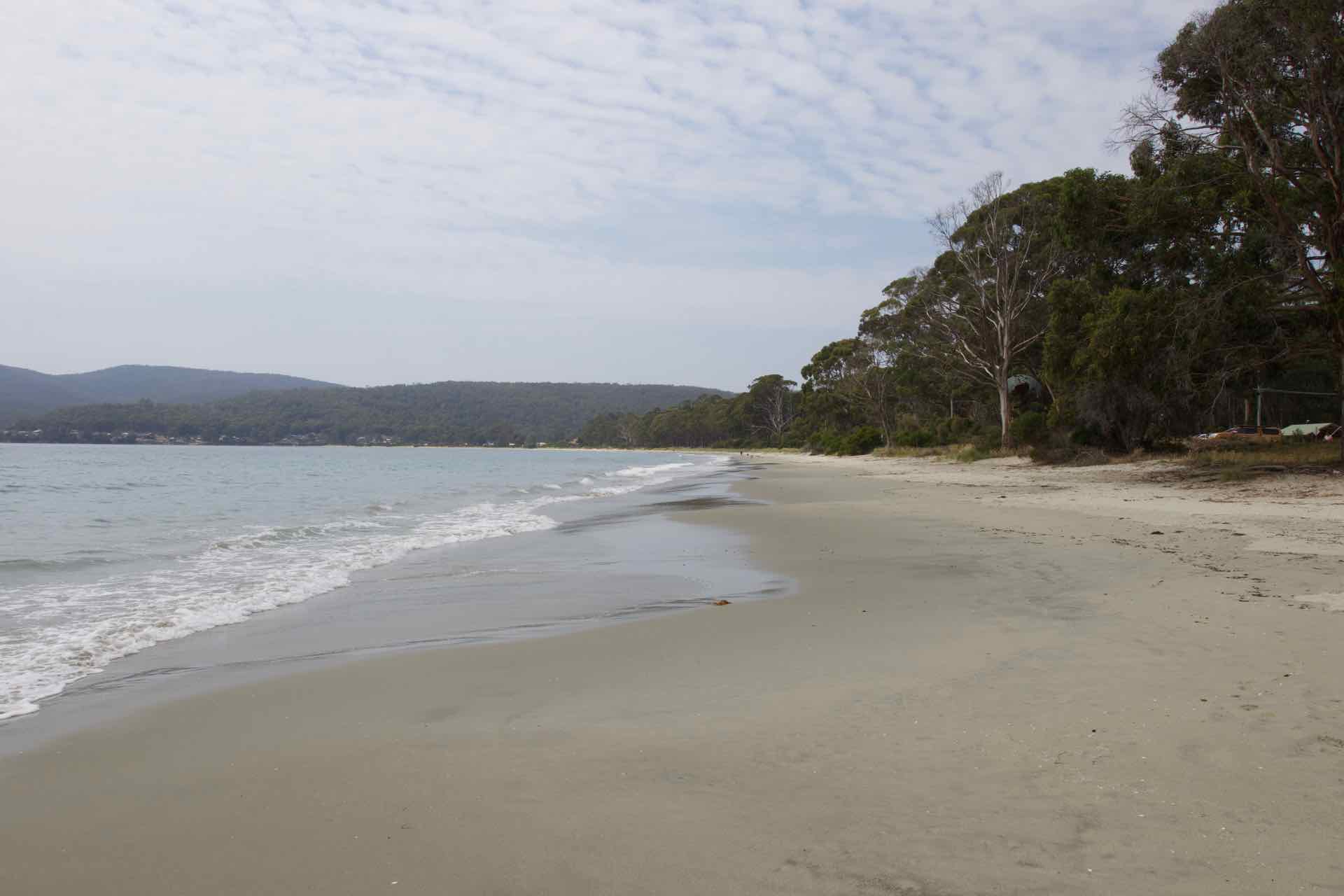
Bruny is a windswept and sparsely populated island, but is a haven for a wide variety of wildlife including little penguins (at dusk) echidnas and mutton birds to name but a few. Geologically, the island is actually two land masses—North Bruny and South Bruny—that are joined by a 5km long isthmus known as The Neck. The road along the neck links both islands. Bruny Island has a total length of approximately 50 kilometres (31 miles) and it is an increasingly popular holiday destination. There is a dedicated holiday village in the north of the island at Dennes Point while South Bruny is the site of the towns of Alonnah, Adventure Bay and Lunawanna all with a strong tourist attraction.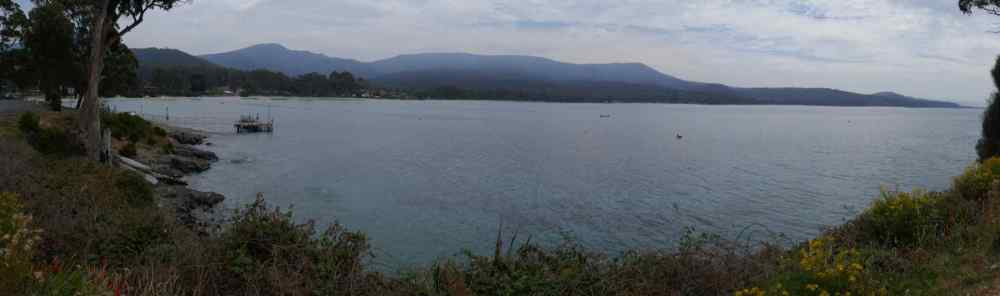
Part of South Bruny Island
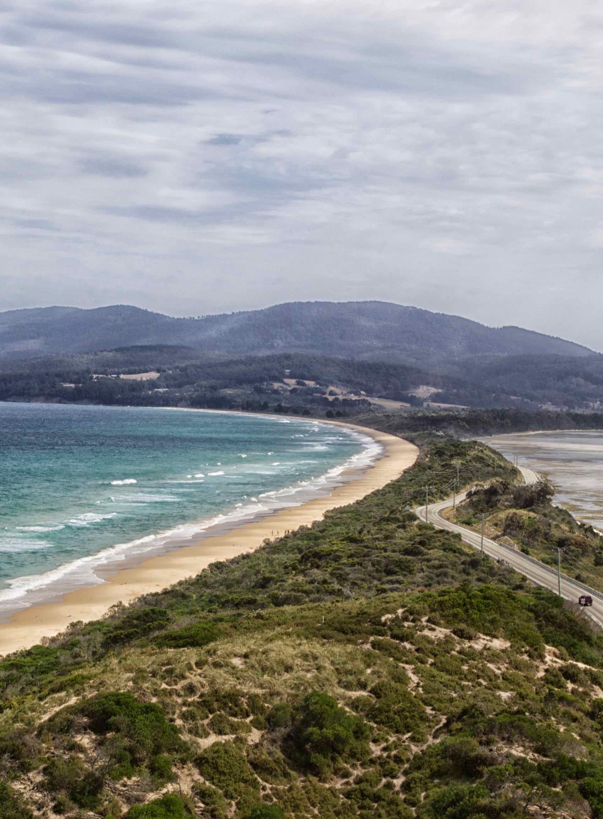
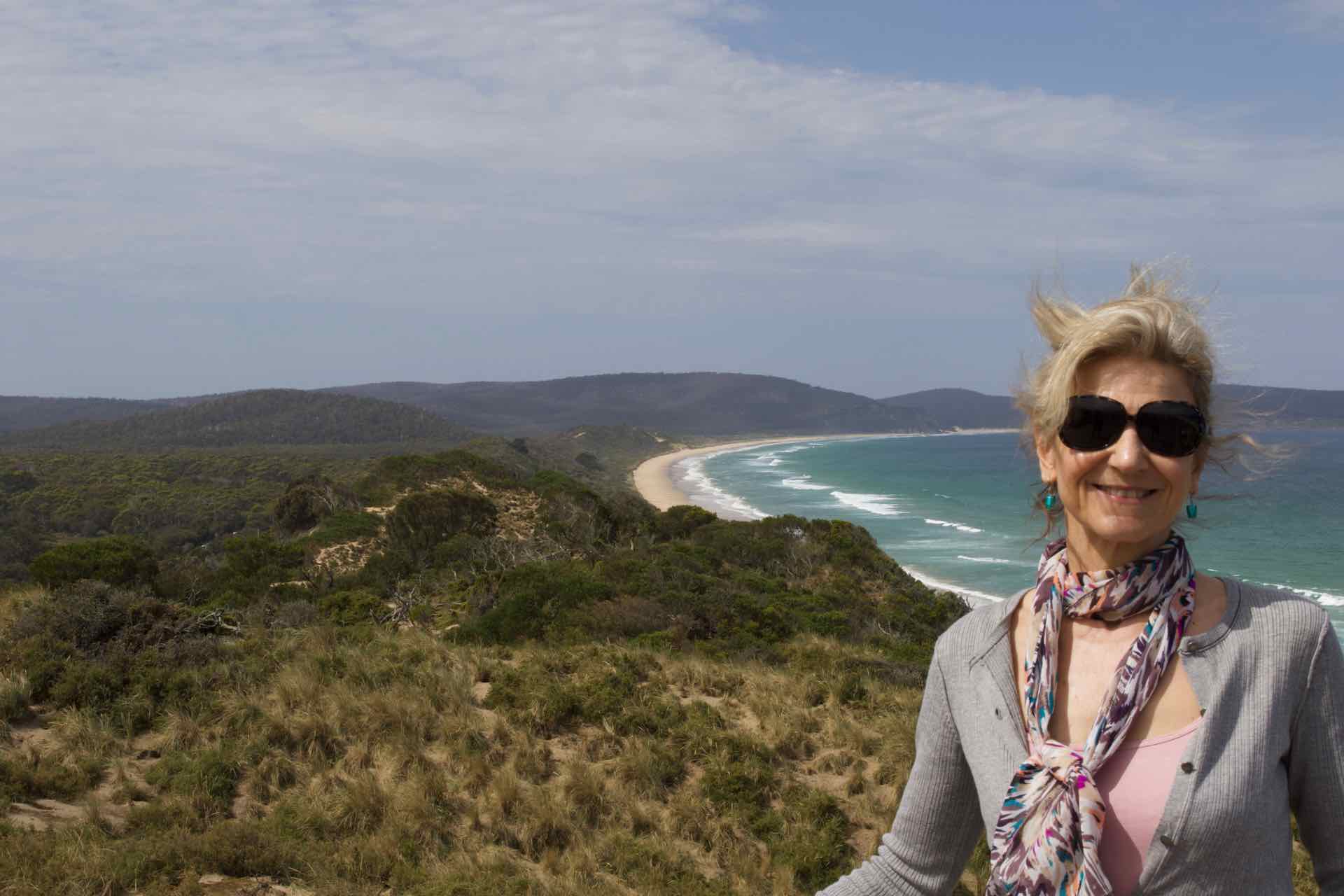
Left: The Neck looking south; Right: Lyn and The Neck looking North
Bruny Island’s history is equally as intriguing. Abel Tasman reported its existance in 1642, but between 1770 and 1790 it was visited by at least six other explorers including Furneaux, Cook, Bligh, D’Entrecasteaux, Flinders and Baudin! The Island was eventually named after Rear Admiral Bruni D’Entrecasteaux, a French explorer who visited in 1792. Its Aboriginal name is Iunawanna-allonah.
The island was originally established as a whaling station in the first half of the 19th century but operations had all but ceased by 1850, though some vessels did use the shelter the island offered to anchor off shore. “Cooktown” was noted on island maps from around 1840 but the island was not officially opened up to European settlement until late in the 19th century with the establishment of a timber industry there. Nearly all settlements at that time were for the timber industry, owned by the numerous companies operating on the island. Most settlements of South Bruny now serve as shack towns or holiday locations.
Since the 1920s the island has developed as a strong holiday destination with surfing beaches, National Parks and historical sites. In more recent history Bruny Island was the site of a land transfer by the state government to local Aboriginal people. The island is primarily a day-trip destination although some visitors elect to stay on the island for two or three days at a time either on the camp grounds or in local accommodation.
There are a growing number of tourism businesses on the island including a cheese factory, oyster farm, vineyard, smokehouse, lighthouse, museum, art gallery, two eco-cruises along with various accommodation properties and cafes. The island is also served by tourists on fast craft from Hobart, though they only put ashore in one or two key locations.
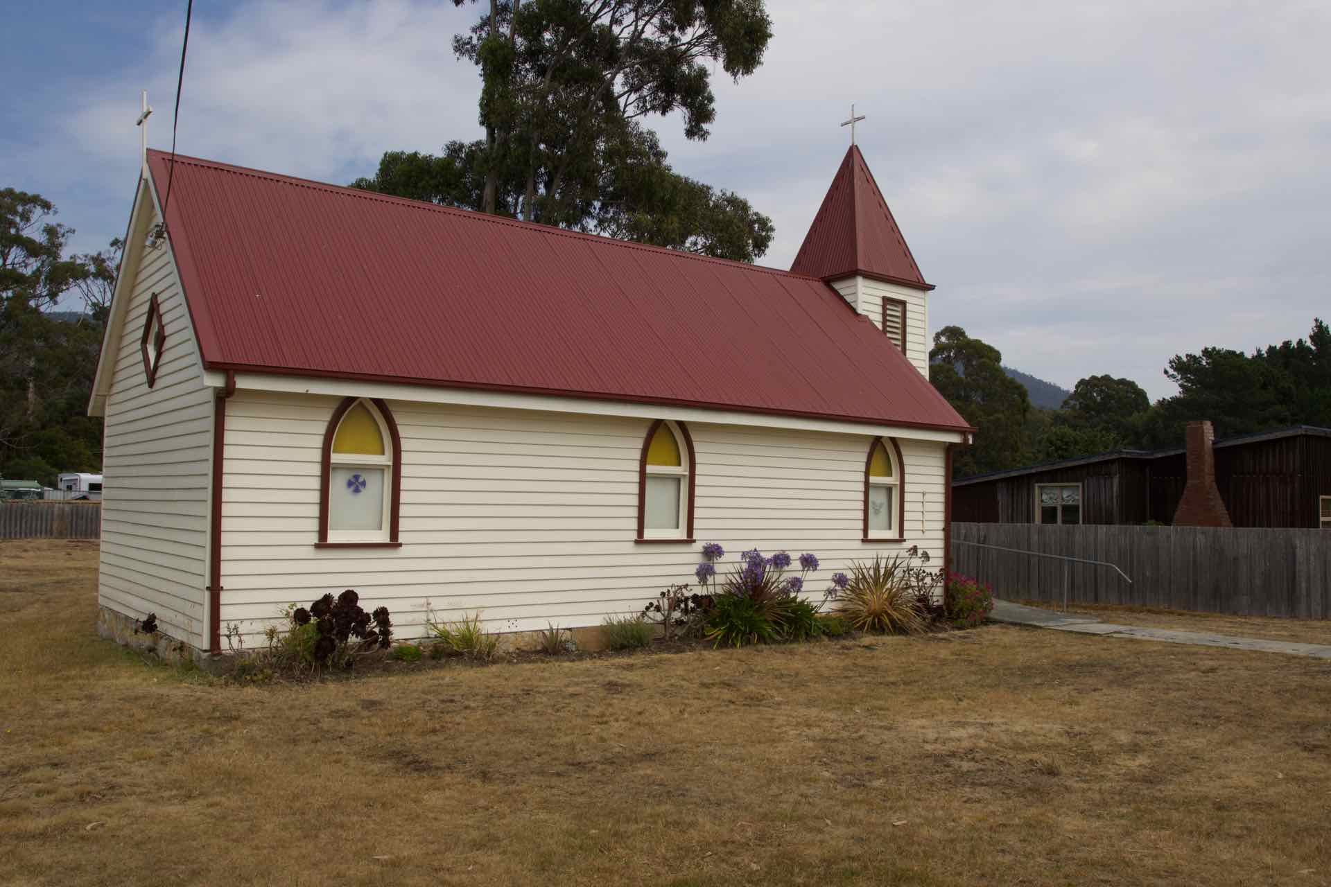
Church in Adventure Bay and the sign outside
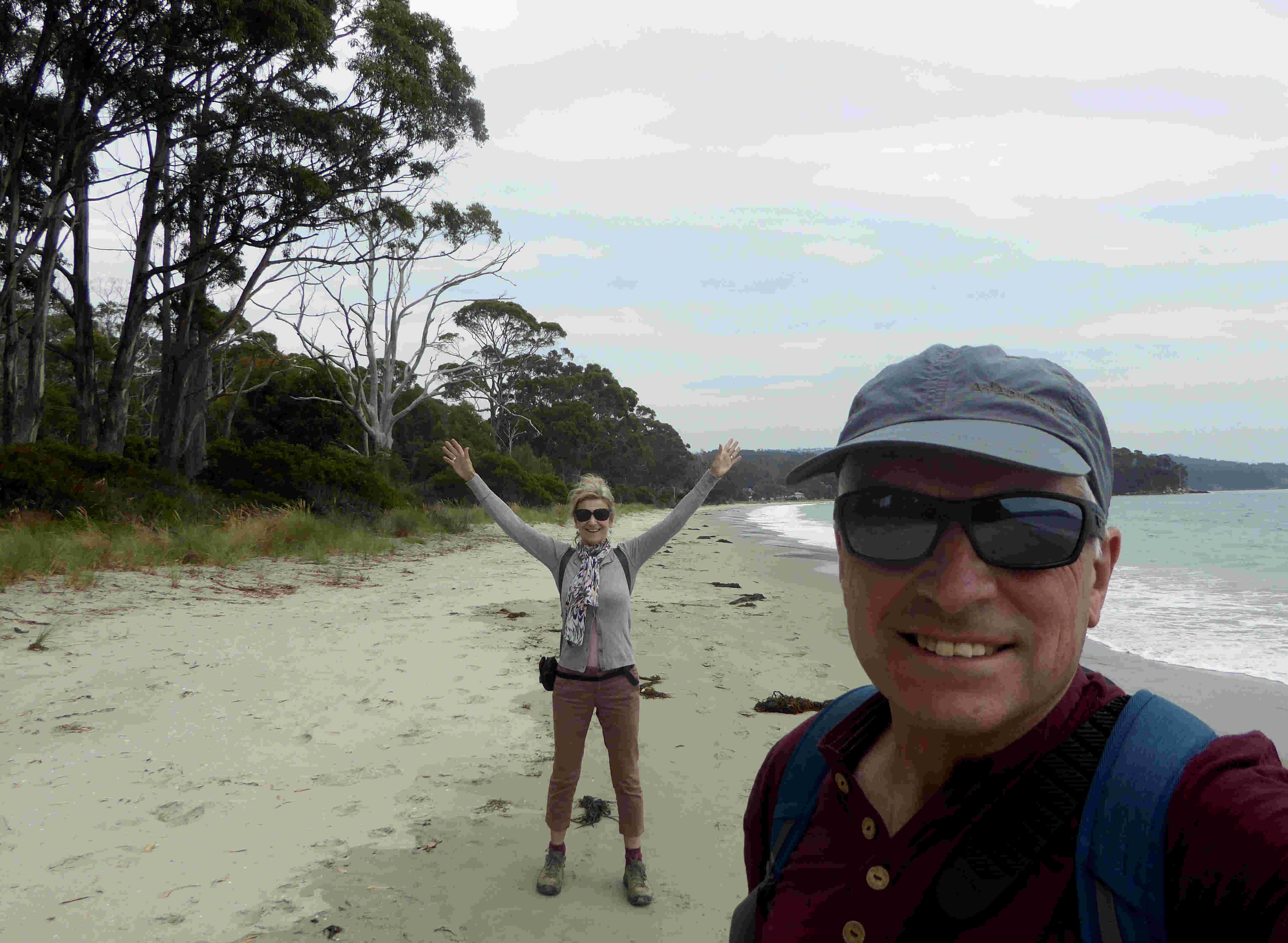
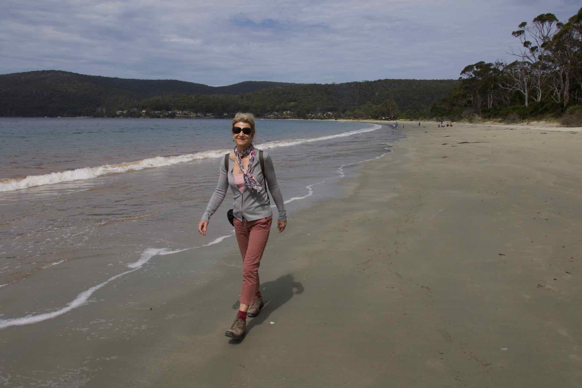
Once on the island there are few roads so you have a choice, north or south. We had chosen the excitingly maned Adventure Bay on the southern side as our destination because it held more interest for us, so once off the ferry, up the hill about 10km and turn right. After about 40 mins driving (max speed limit on the island is 90kph) we arrived in Adventure Bay and parked outside a cafe for a coffee.


Top: Two sculptures at Adventure Bay; Bottom: Adventure Bay – either end from the middle
We follow the coast path from Adventure Bay to Grass Point
There is a sort of coastal path from Adventure Bay which leads to two popular destinations on the south east side of the island. The first is to Grass Point, where remains of an old whaling station can be viewed. The second, a much longer and trickier walk (according to the guide) is to Fluted Cape. Our destination was Grass Point. En route we passed a single storey brick construction which was home to the “Bligh Museum of Pacific Exploration”. It did not look much from the outside but within was an engaging collection of original charts, log books and other documents relating to the explorers who passed by or landed on this island. The curator was a fascinating chap in his own right, having lived and worked on Bruny all his life. We spent a very interesting time in this museum learning of the explorers and reading their first hand accounts of Bruny Island and its inhabitants.


The Bligh Museum of Pacific Exploration

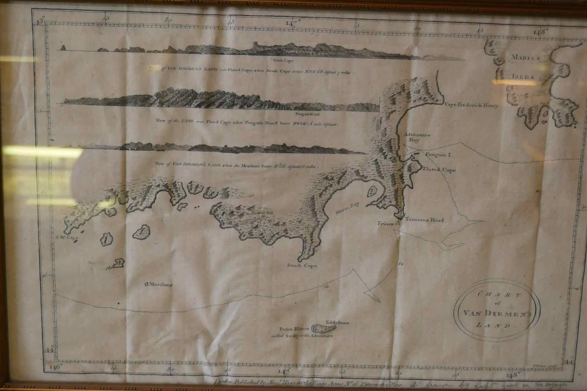
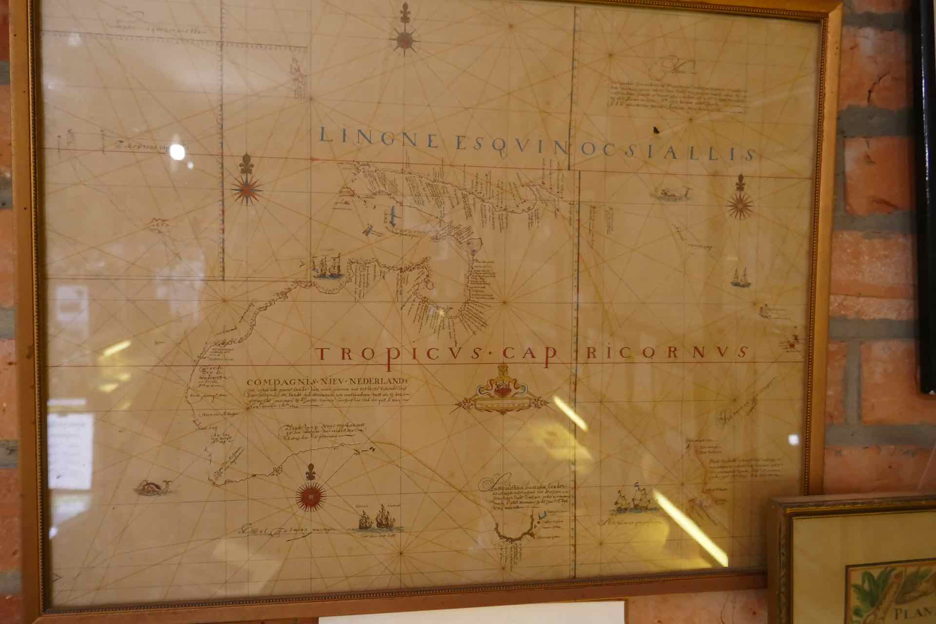
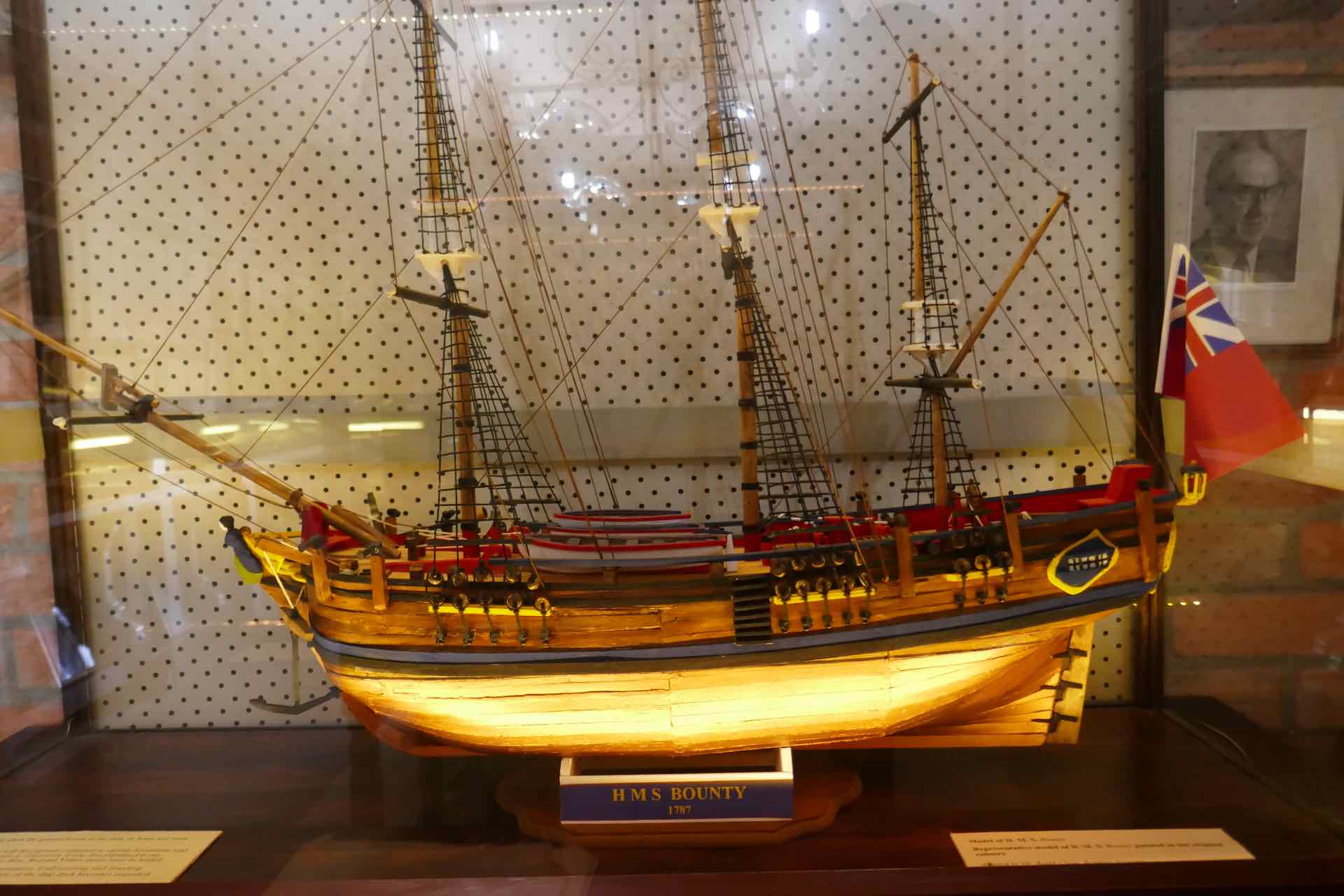
Exhibits from the Bligh Museum: Clockwise from top left: List of Cook’s voyages; Map of the south part of Van Diemen’s Land; Model of HMS Bounty; Framed map of the south part of Van Diemens Land made by Cook.
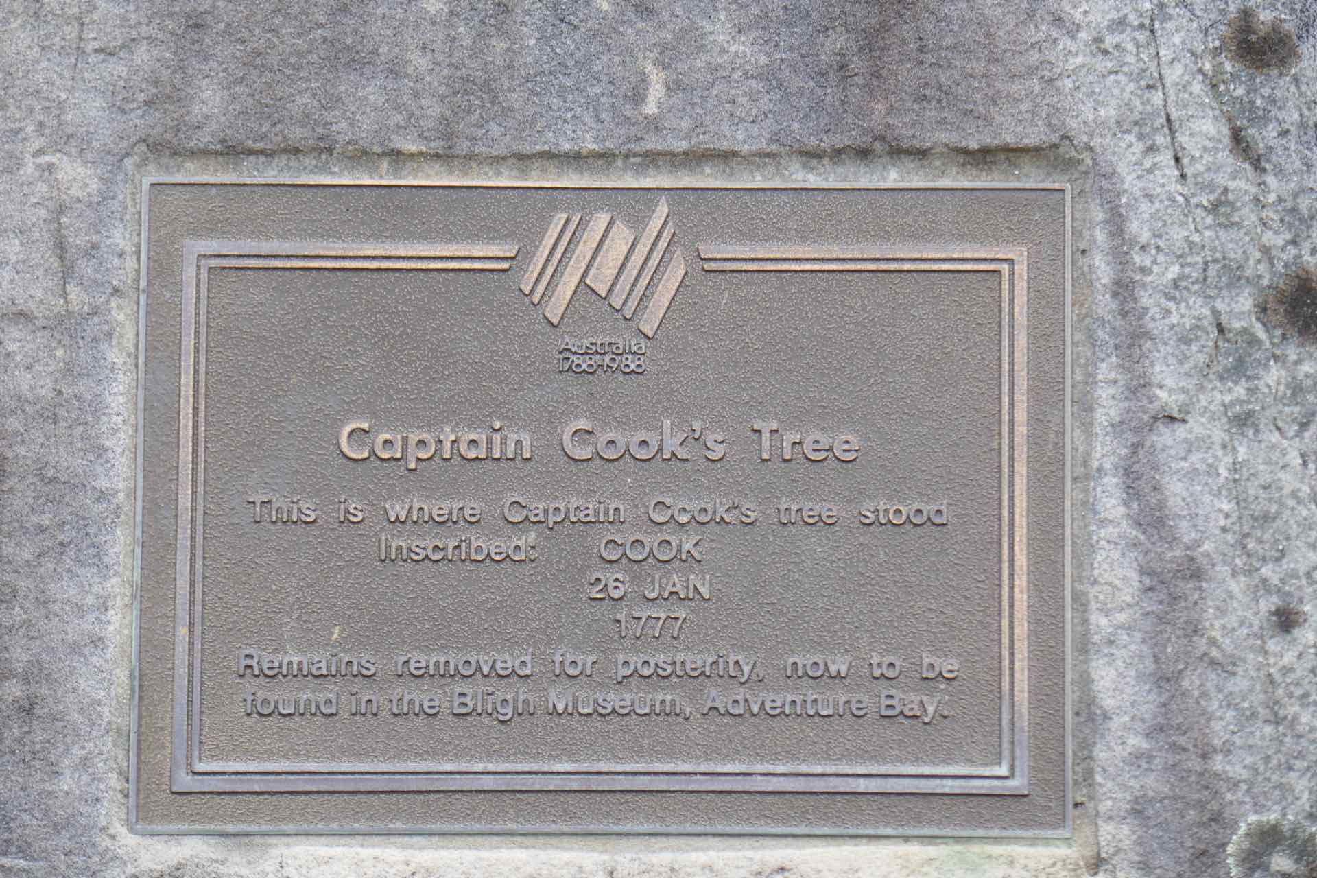
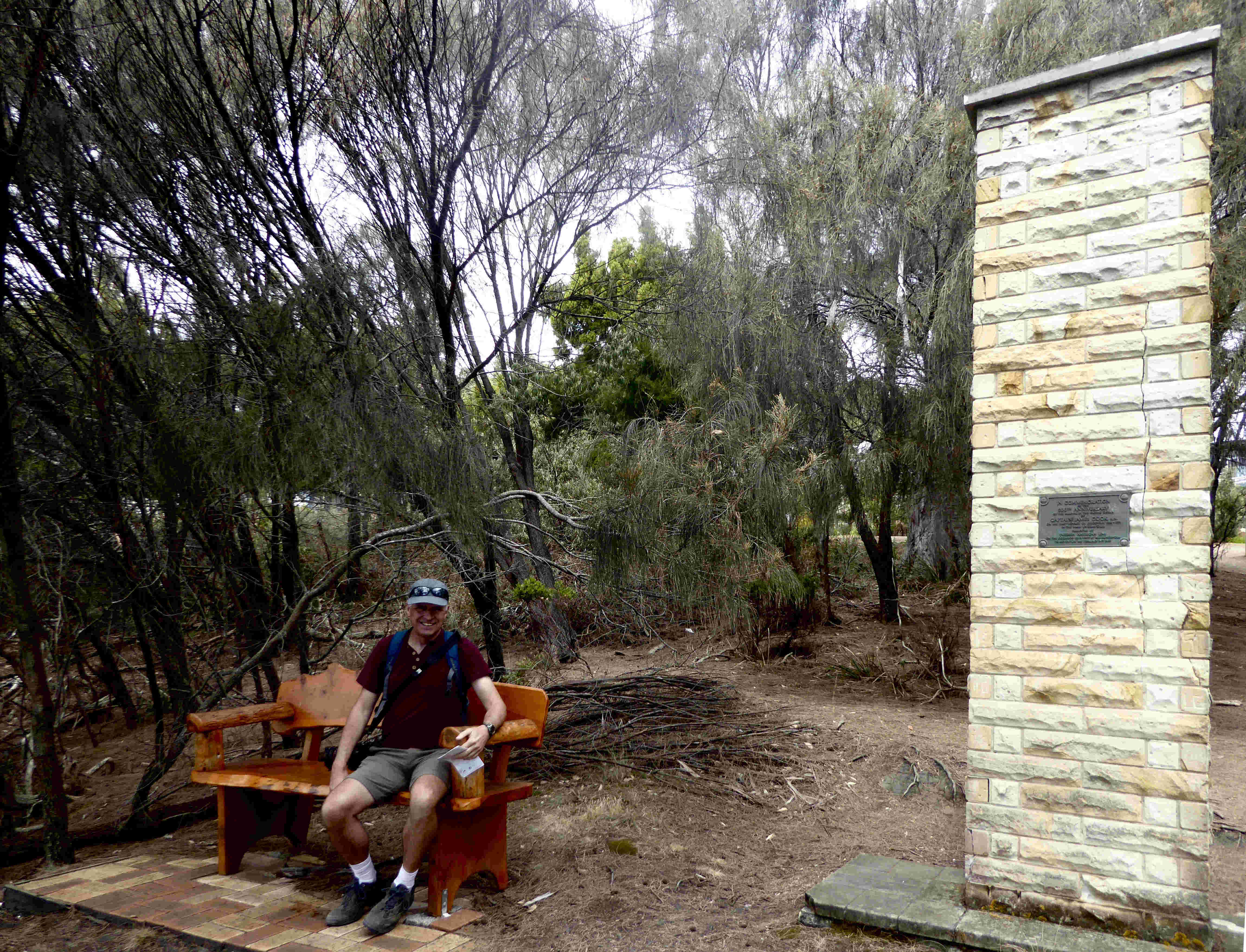
We walked on and came across the Cook Monument, erected in 1977 to mark the 200th anniversary of his first landing here and further on a plaque commemorating where “Cook’s Tree” used to grow. What remains of it is in the Bligh Museum a 5 ft length with is name carved on it. If he got away with it in 1877, why couldn’t I get away with carving my initials on a tree in 1965? A short stop for photo’s and we moved on as we needed to be careful to meet our return ferry which was 40 minutes drive from Adventure Bay.
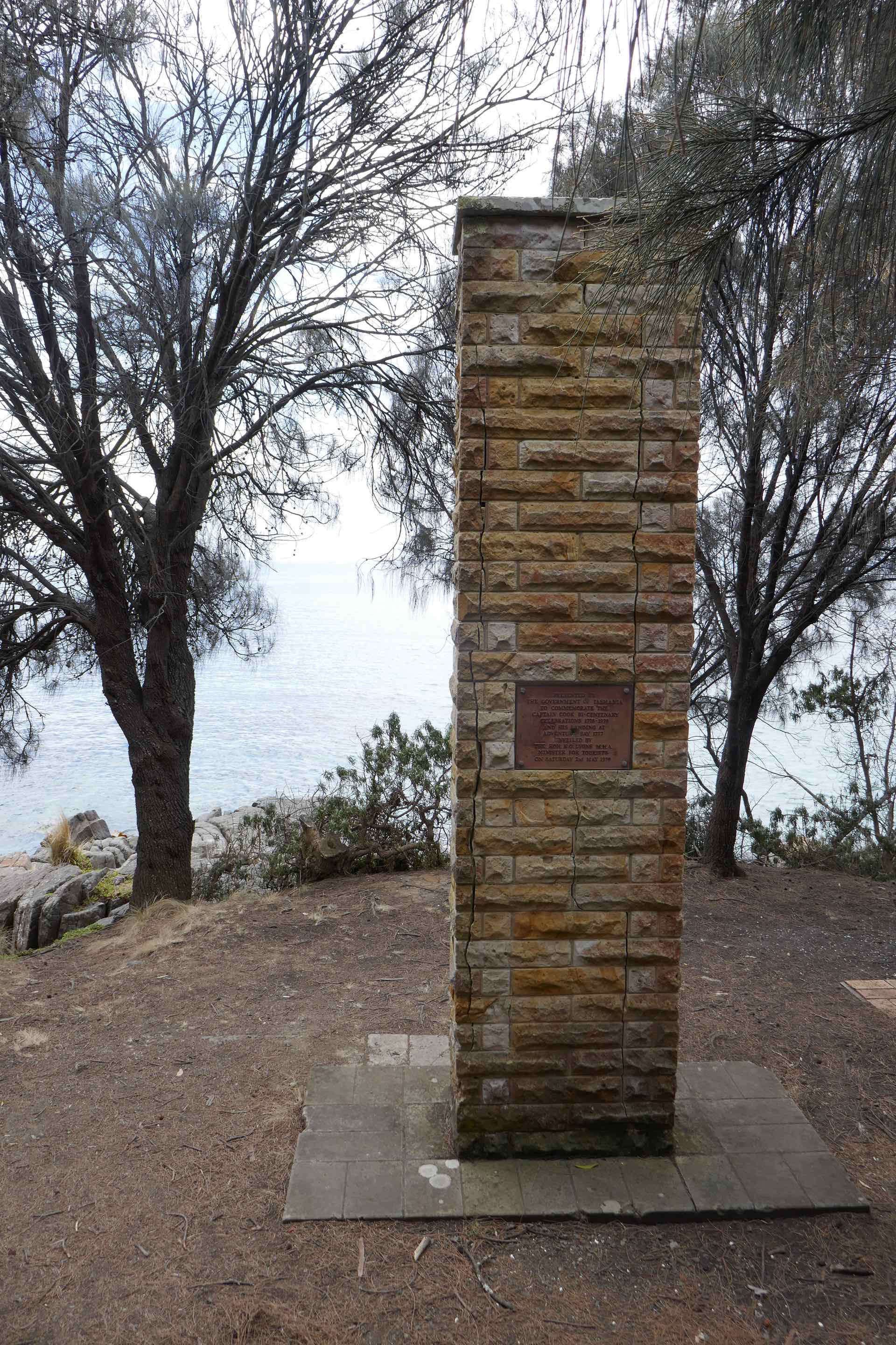
Captain Cook is well celebrated and commemorated on Bruny Island: Clockwise from top left: Captain Cook’s Creek; top right: Captain Cook’s Monument; Me at Captain Cook’s monument; Plaque marking the point of Captain Cook’s Tree… ” I was here – 1777″


Clockwise from top left: Pebble Beach – Loads of mini cairns made up of piles of pebbles; Top right: Petrified forest; Pebble Beach again; Bruny Island shack
Eventually we had begun to realise that we were running short of time in order to make our return ferry crossing. Our walk to Grass Point was cut short and we returned along the same path. Walking along the sand around Adventure Bay I noticed a wide area of the sea close to the shoreline had turned a deep red colour. Worryingly this was an algal bloom called Noctiluca scintillans, and although research suggested it was non toxic, I am not sure I would eat any fish contaminated with this stuff. We were told that it is present in the harbour at Hobart, is invisible during the day, but glows a luminescent blue in the evening if disturbed. Why does it occur? Scientists are not sure, but one theory is sharp differences in sea water temperatures at different levels. Global Warming anyone?
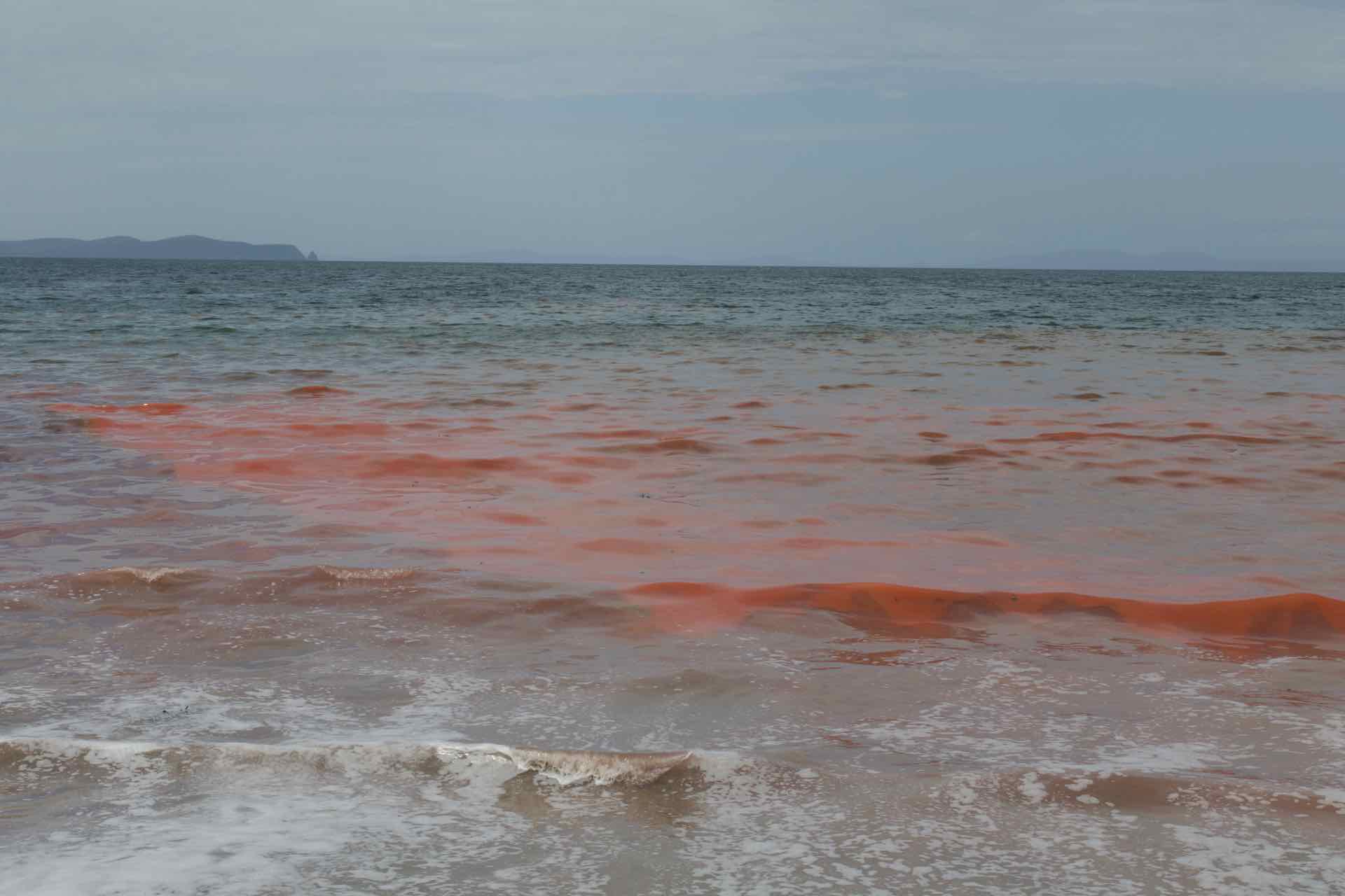
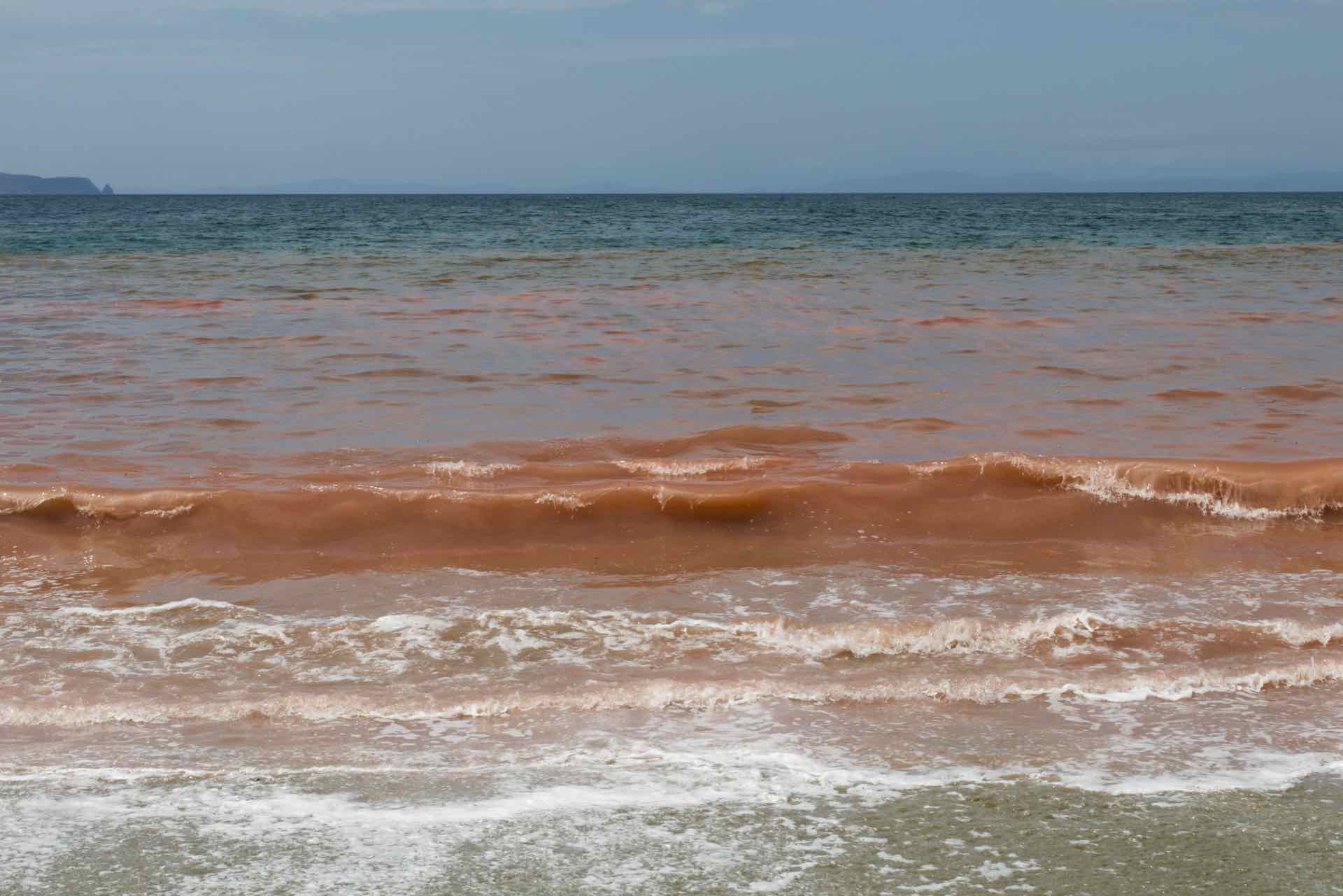
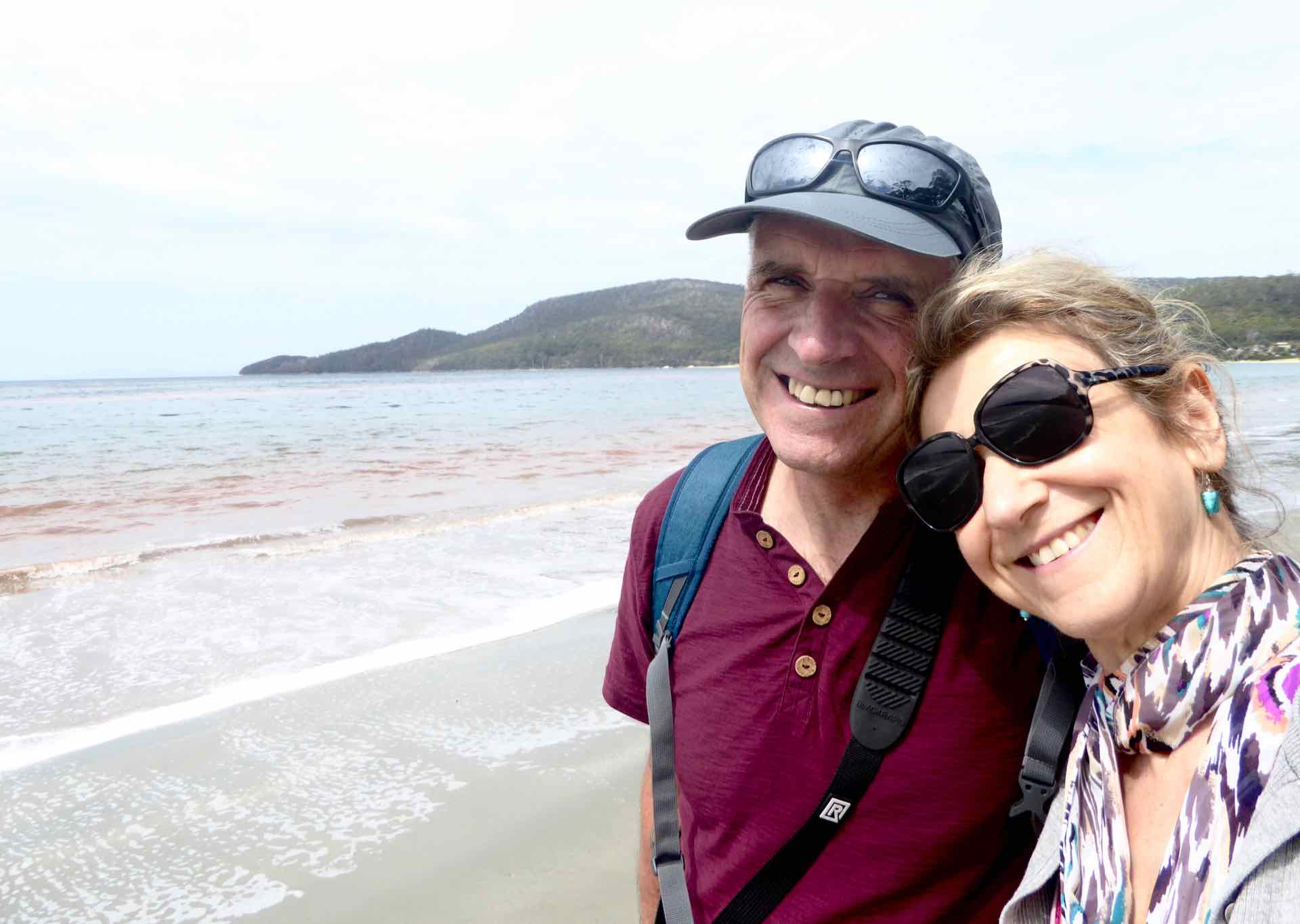
The red algae; Right: Us and the red algae
We made the ferry with about 10 mins to spare and returned to our base just outside Kettering. Worryingly, there was the faint whiff of smoke in the air from the bushfires burning away to the west, and we learned when we got back that the rain forest walk at the Tahune Air Walk, and the road leading up to Mount Wellington had both been closed due to increased risk from the fires. Given this news we had to re-think where to go on our last day in Kettering. More in the next blog.
Footnote: The fires were having big impact in those communities in the Huon Valley near us, people being evacuated to safe places and a couple of properties were lost. Subsequently we have learned that although the infrastructure for the Tahune Air Walk has survived, most of the vegetation which the boardwalk passes through and over has been destroyed in the fires. The area is still closed off to the public and a total of three dwellings have been destroyed in this area, but thankfully no one has died. There is an island wide ban on barbecues and lighting fires of any description in public areas and many minor roads are closed to all but local traffic.
