We awoke on the Saturday morning to snow on the tops of the high peaks. Yes this is May and yes I did say snow! It is the bank holiday weekend in Keswick and the crowds are out. Walkers, day trippers and locals crowd the streets and the roads around are busy.
My shoulder injury was still painful and I had limited movement, so where to walk where I don’t need a rucksack, there was no risk of me falling over on it, and did not require the use of both arms to scramble up and over rocks? After looking at the map we decided the best option for Saturday’s walk would be a gentle amble around Buttermere with a continuation on to Rannerdale to view the bluebells, if time permitted. Not a challenging walk in itself but it afforded some fine views of the mountains that dominate the lake. Like I said above, It was walking, but not as we know it!
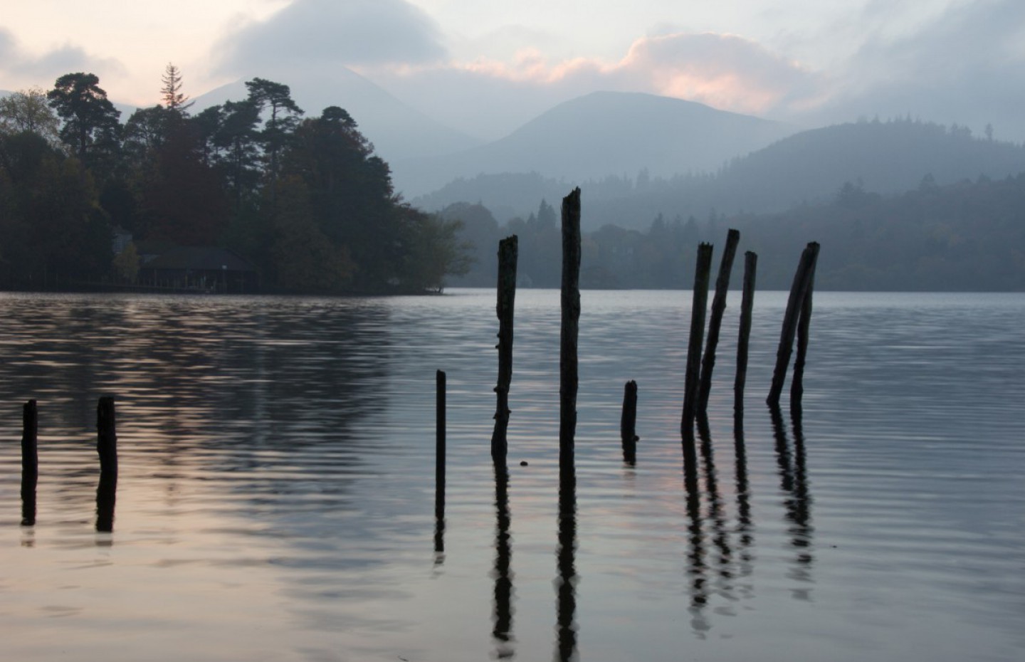
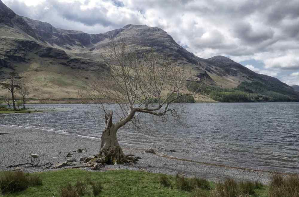
Parking in Buttermere is always a challenge due to the lack of space and the huge number of people who visit, so we eventually found a space in a lay-by about 20 mins walk from the village. After our morning coffee ritual, we set off. The route took us down the west side of the lake, below the well known fells of Red Pike, High Stile, High Crag and Haystacks. The sun was appearing intermittently through the cloud, but it was dry and quite cold, with the bonus that the mountain tops were clear and displayed in all their craggy glory.
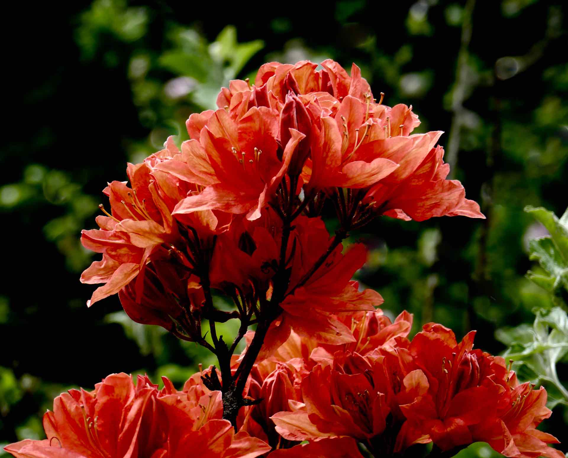


Clockwise from top left: Beautiful Azalea in a Buttermere garden; DH on a bridge; DH in reflective mood; Mother and Child, a Herdwick family.


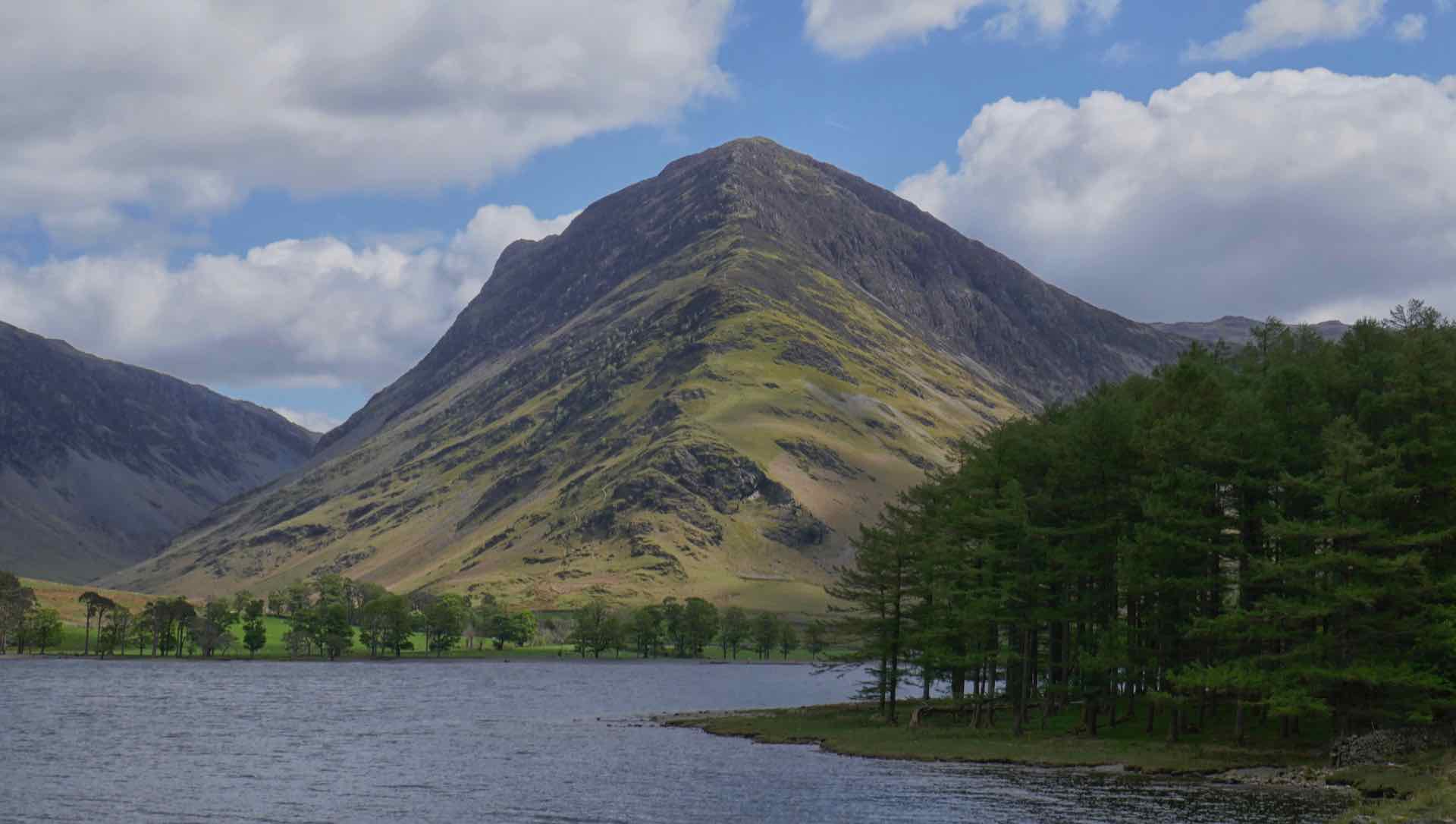
Four Views of Fleetwith Pike from around Buttermere
The walk around Buttermere, with pauses to take in the scenery, a home made ice cream at Gatesgarth Farm, and a little photographic posing on the return leg, took about three hours, by which time we decided that to continue to Rannerdale just for the bluebell show (see a previous Blog) was not worth the effort. I loved the Buttermere walk purely for the scenery and being out in nature, but others decided that it was a little tame and boring!


Clockwise from top left: Reflections on Buttermere; High Stile from Comb Beck; Sunshine on the fells; High Stile
Red Pike

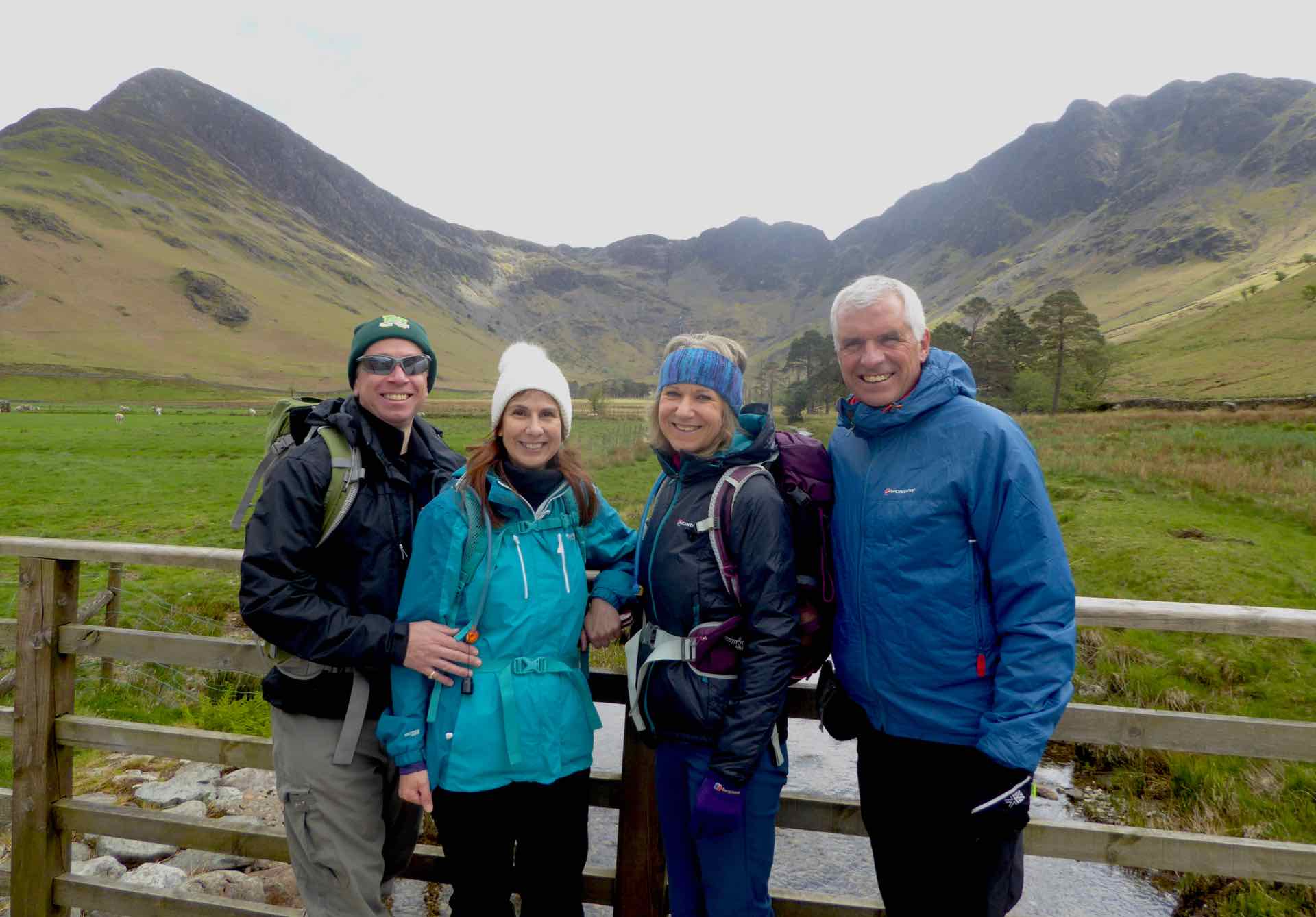
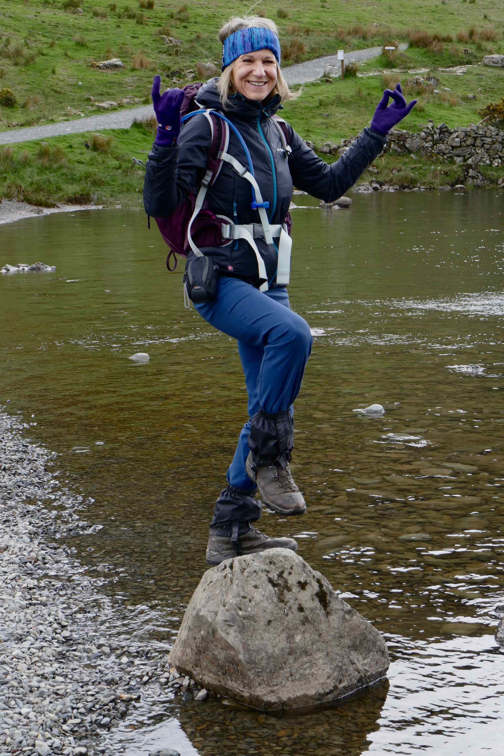

Clockwise from top left: Tim falls in; The four of us with Fleetwith Pike and Haystacks in the background; Jo poses; Lyn poses on a rock.

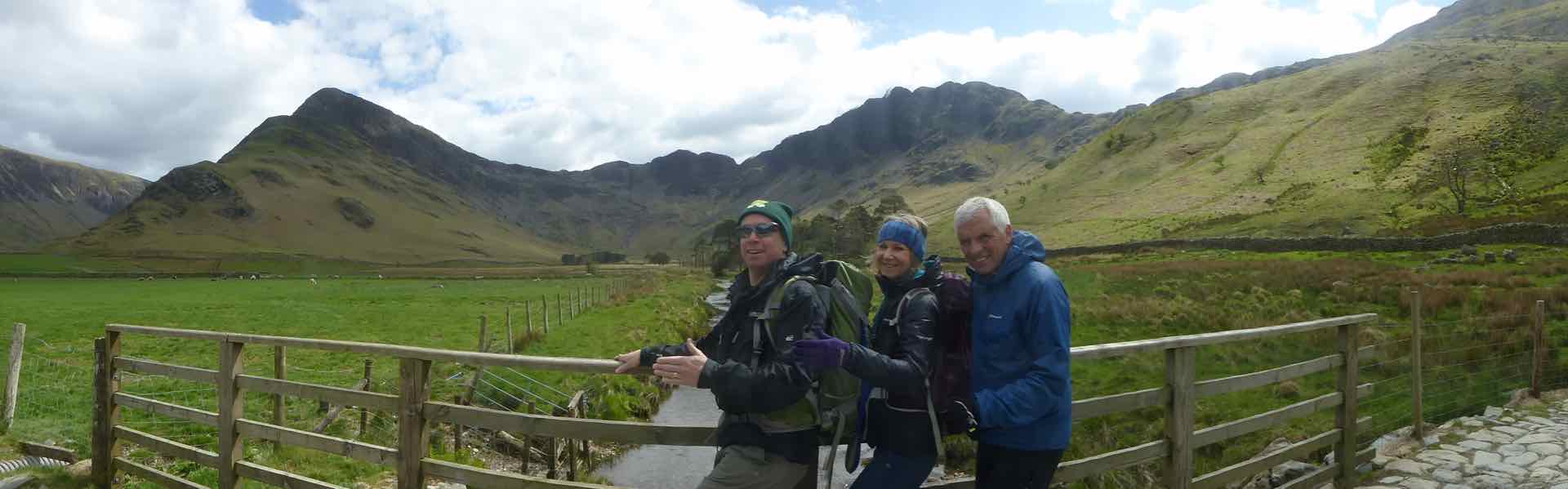

Three Panorama’s at Gatesgarth featuring the “Four Amigo’s”
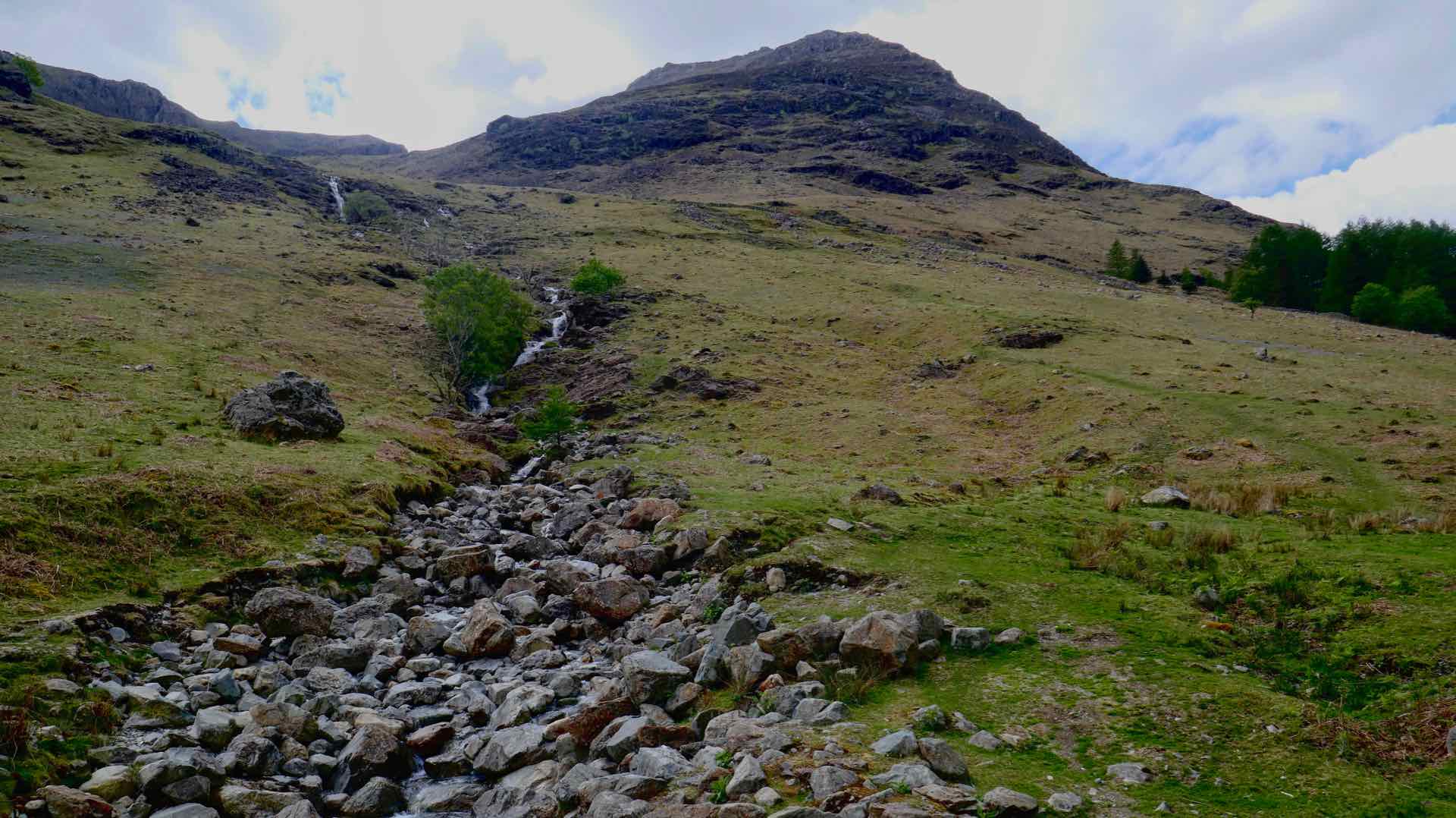
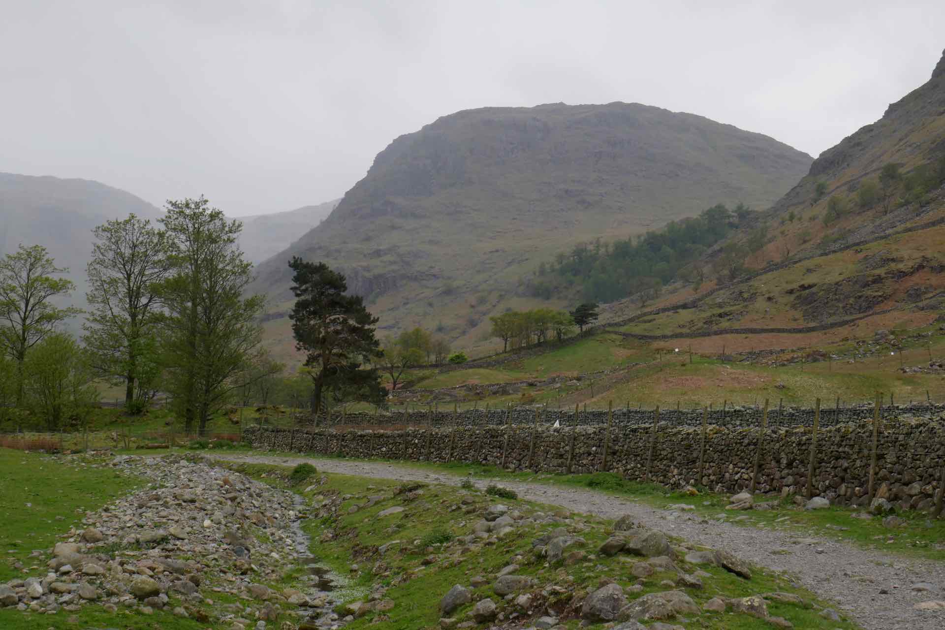
On Sunday, we repeated a walk we first did with our walking group in 2018, starting from Seathwaite and following a trail in the shadow of two of the great Lakeland peaks, Green Gable and Great Gable. Drizzly rain greeted us at the start of the walk from Seathwaite Farm but the threatened drenching we witnessed further up the valley did not come our way and we did not require waterproofs.
Once again the crowds were out in force which was to be expected as this location is one of the start points for a walk up to Scafell Pike, England’s highest mountain. We were walking a route a little less taxing than that one, but nonetheless typically lakeland.
Our plan was to follow Styhead Gill up to the Tarn at the head of the valley, and beyond to the base of Great Gable, before heading on to Sprinkling Tarn for lunch. From there a short walk on before descending alongside Ruddy Gill back to the farm.


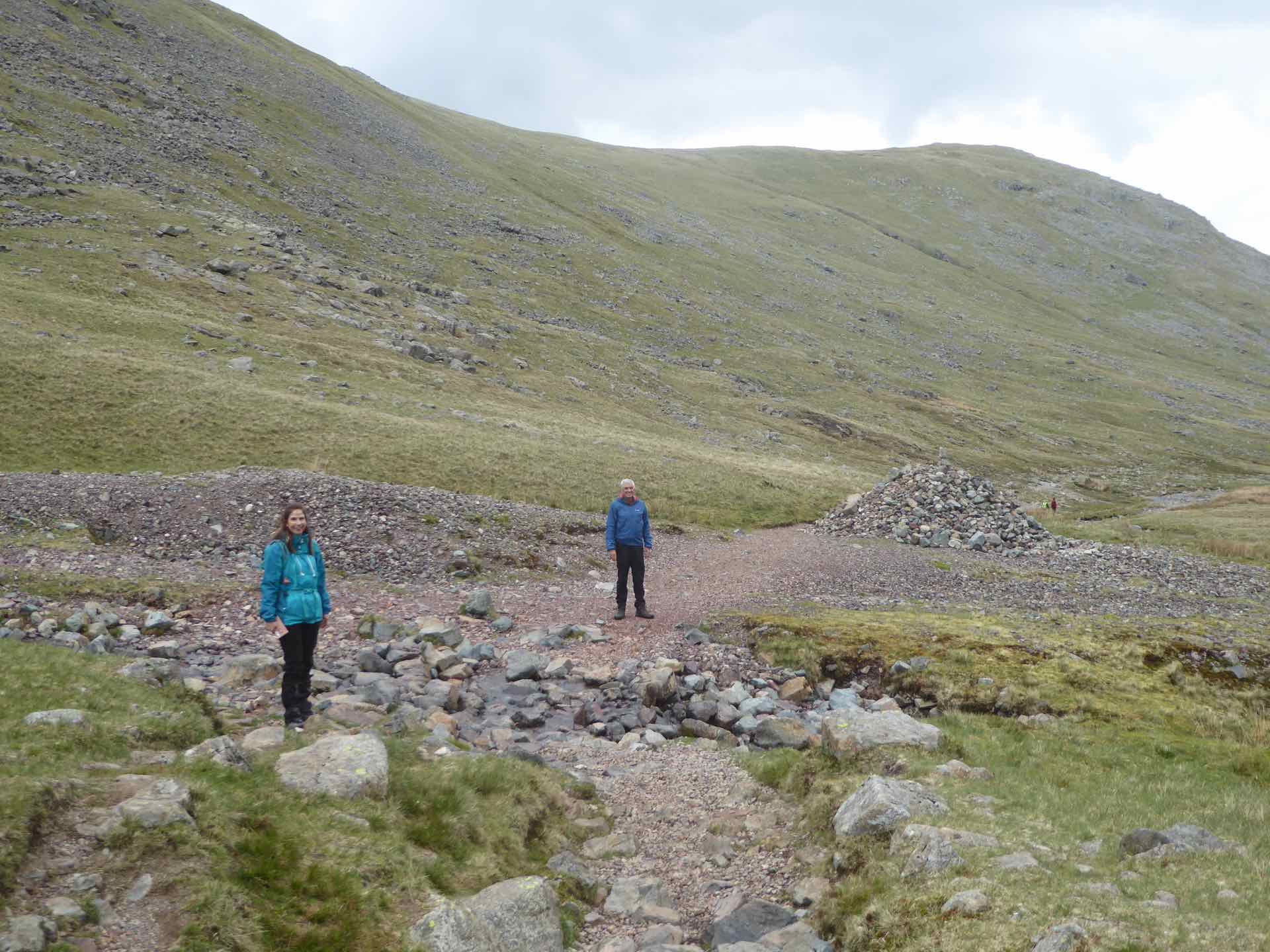
Clockwise from top left: The start of the walk with Green Gable visible. Looking up the valley; Crossing the beck.

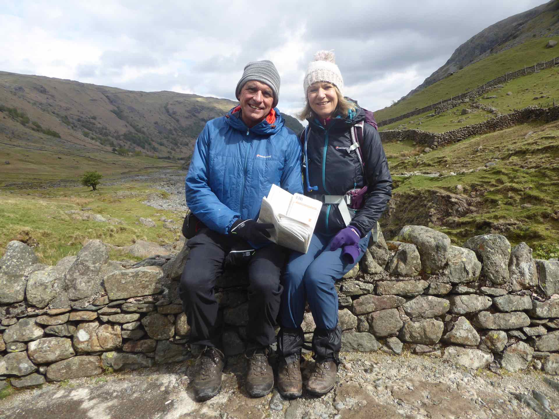
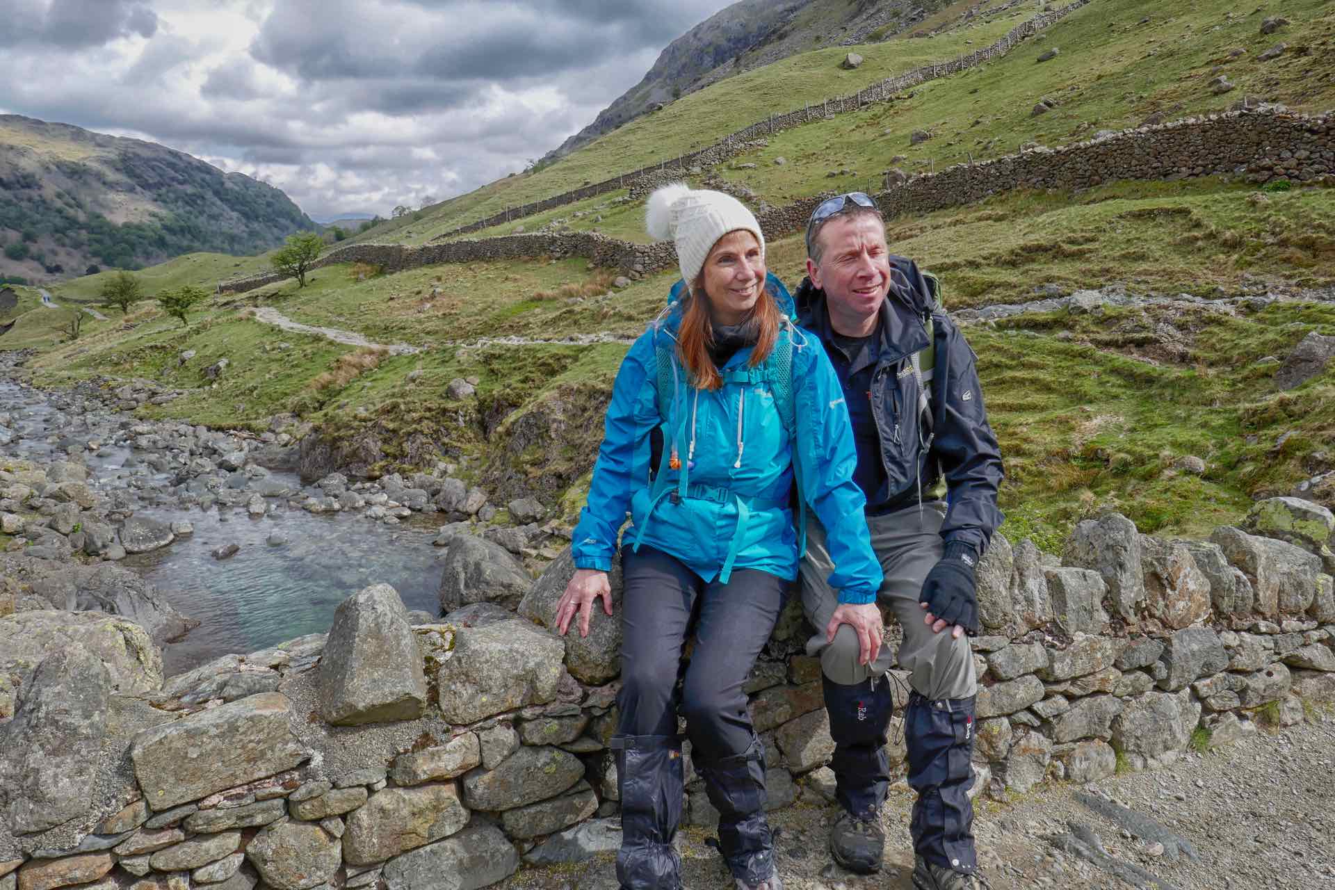
Top: Start of the climb up to Styhead Tarn: Centre: Lyn and I rest on a bridge; Bottom: Tim and Jo rest on a bridge
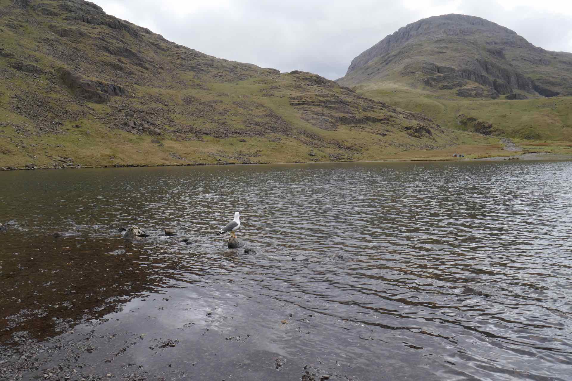
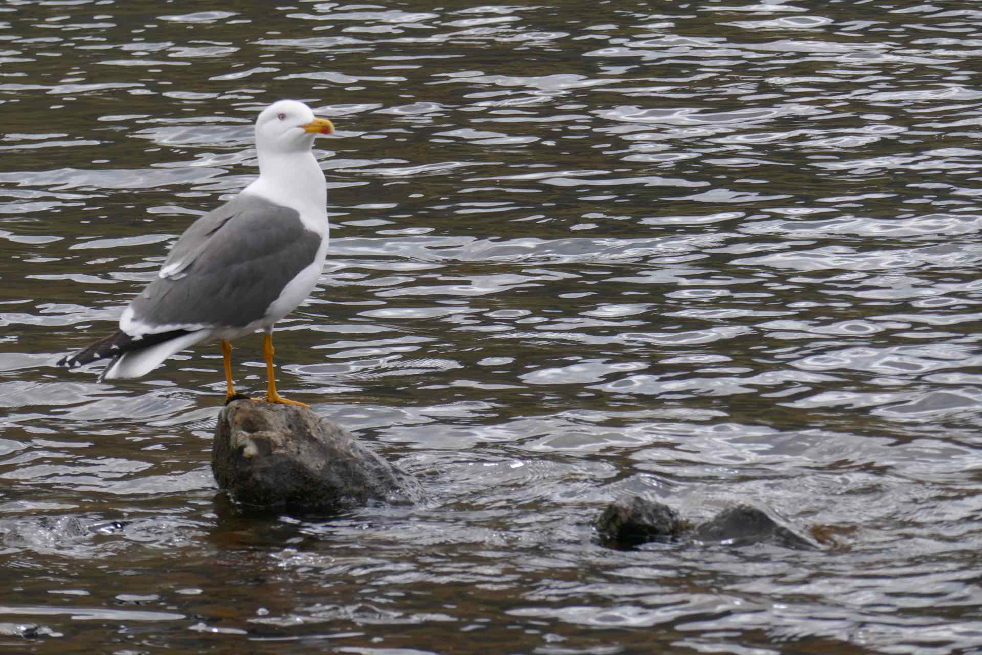
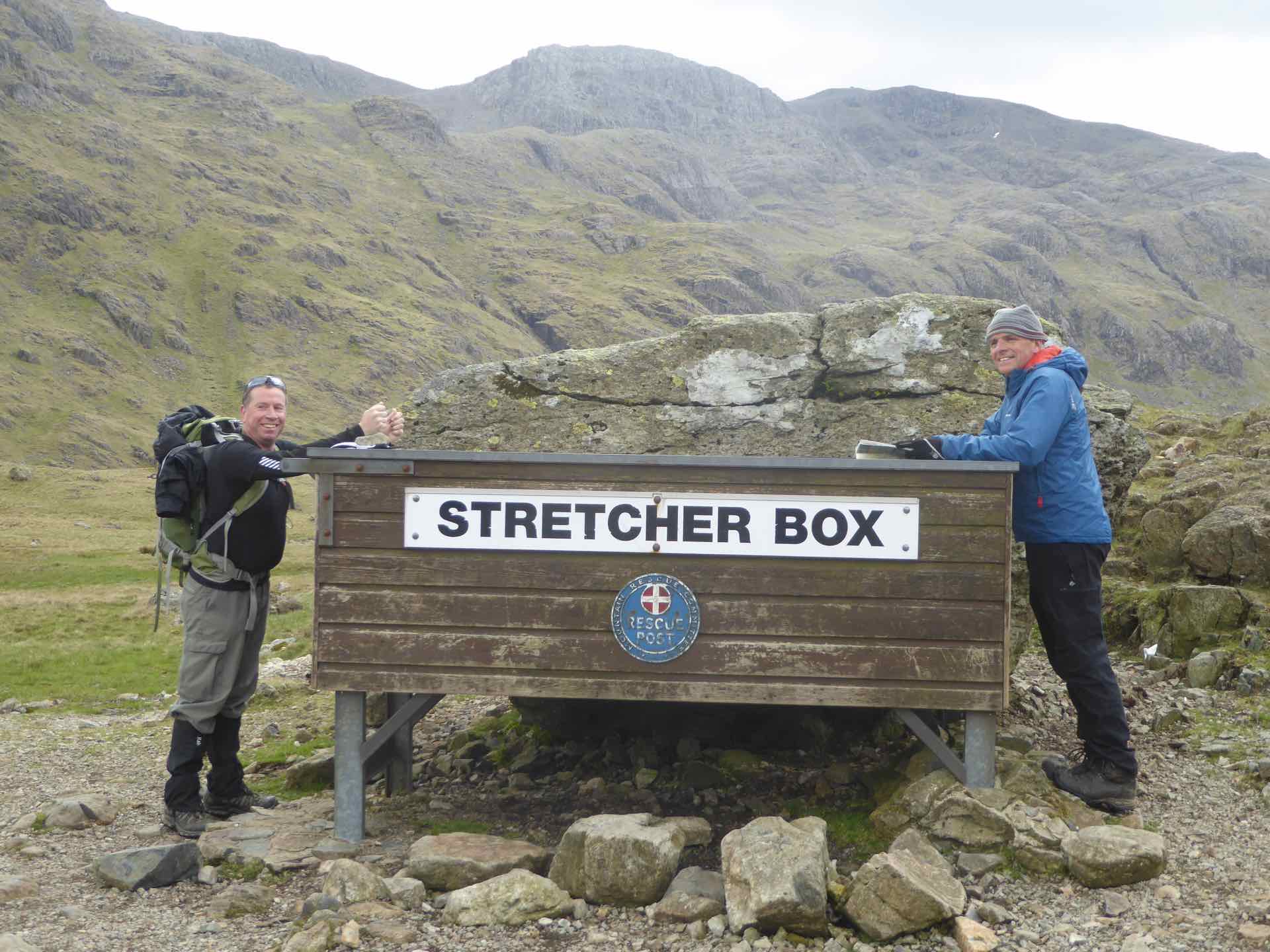
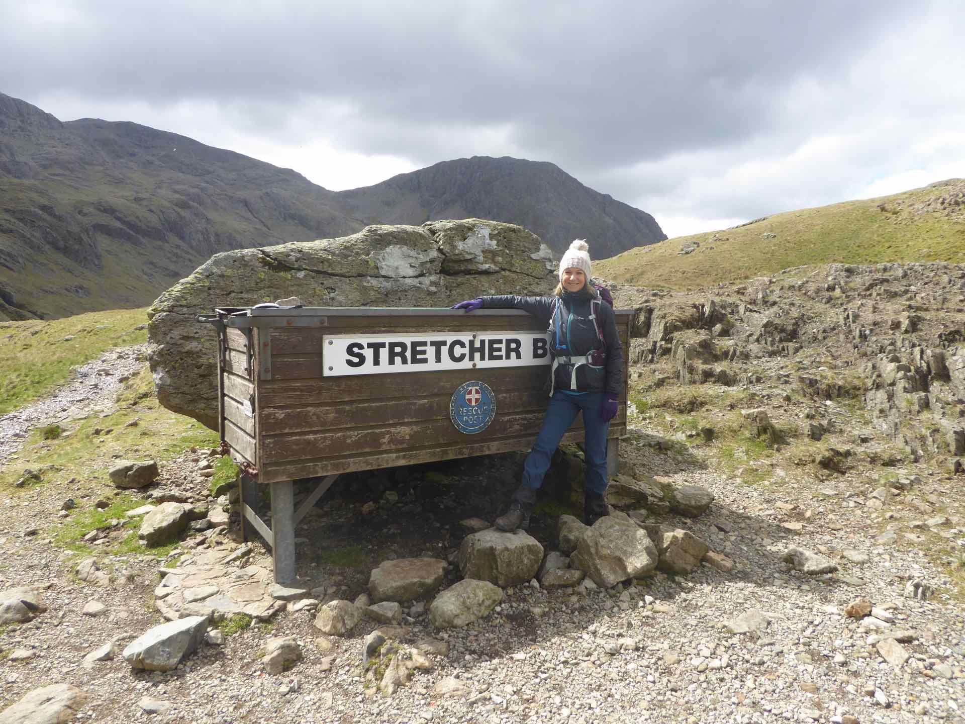
Clockwise from top left: Styhead Tarn; Local resident of the tarn; Lyn at Stretcher box; Tim and Me at Stretcher box.
Just beyond Styhead Tarn, was a Stretcher Box, full of equipment placed there for use by the Mountain Rescue teams, and where several paths converge. Several small groups of walkers had gathered, using the landmark as a rest and re-grouping point, some following the route to Scafell Pike, others descending Great Gable, and many, like us enjoying a less strenuous walk in the fells. We lingered a while watching groups come and go before heading off ourselves to our next point, Sprinkling Tarn.
By the time we reached our lunch stop at Sprinkling Tarn the groups had thinned and although we did not have the fells to ourselves, as a few walkers passed by, we were able enjoy lunch by the waters edge in relative peace and quiet.


Top: The way down; Centre: Two views down the valley; Bottom: Lyn and I attempt “Tree” pose with my “branch” missing.
By this time, the wind had picked up little and we were starting to feel the cold again. The best way to get warm was to start moving so with that in mind we continued along the path. Shortly after Sprinkling Tarn our trail turned left and we started the long descent, following the path above Ruddy Gill, the stream flowing down a deep channel below the path. The path eventually levelled out as we approached Seathwaite Farm and the end of our walk. The walk was as I remembered, not really challenging but gave enough variety to keep us interested, both in the scene around about and the path to follow.

And finally: Top: Jo and DH just before Styhead Tarn; Bottom: The four of us with the Great and Green Gable in the background.
We enjoyed our time with Tim and Jo but it was sad that we were unable to complete the walks we had planned. There is always next time.

What beautiful countryside, your photos always capture the vast beauty and drama of the UK landscape – and all the fun you two seem to have!
LikeLike