We are back in the Lake District, staying in our usual place in Keswick. I know we were only here in November last year but this is different. We have never visited in March. I have all my camera gear with me but the main focus of the week is to recce some walking routes for our Ramblers group to enjoy when we visit in June. We are helping out by leading some walks of varying grades and difficulty, ranging from a relatively easy flat walk up and down a valley to a monster 5 hill circuit with nearly 4000ft of ascent. We needed to walk these out to make sure we can do them ourselves, to ensure we have some idea of each route, and that there are no major obstacles like vertical rock faces we have to scramble up!
As is usual in March in Keswick it is cold and damp, this time with an added bonus of strong winds, giving a significant wind chill on the hill tops. Nowhere was this better illustrated than on our first walk.
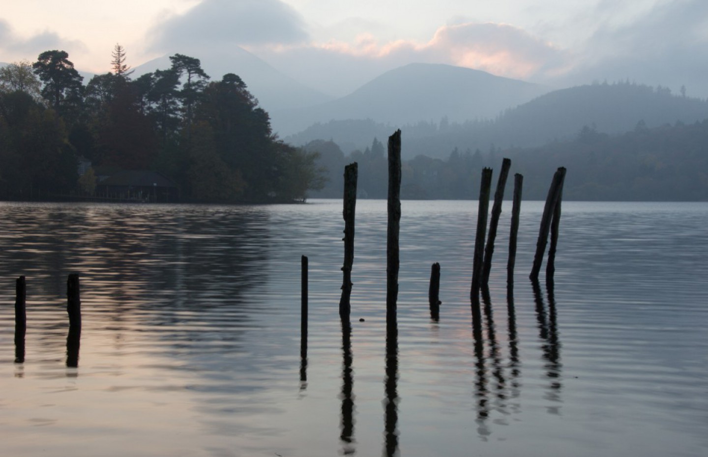
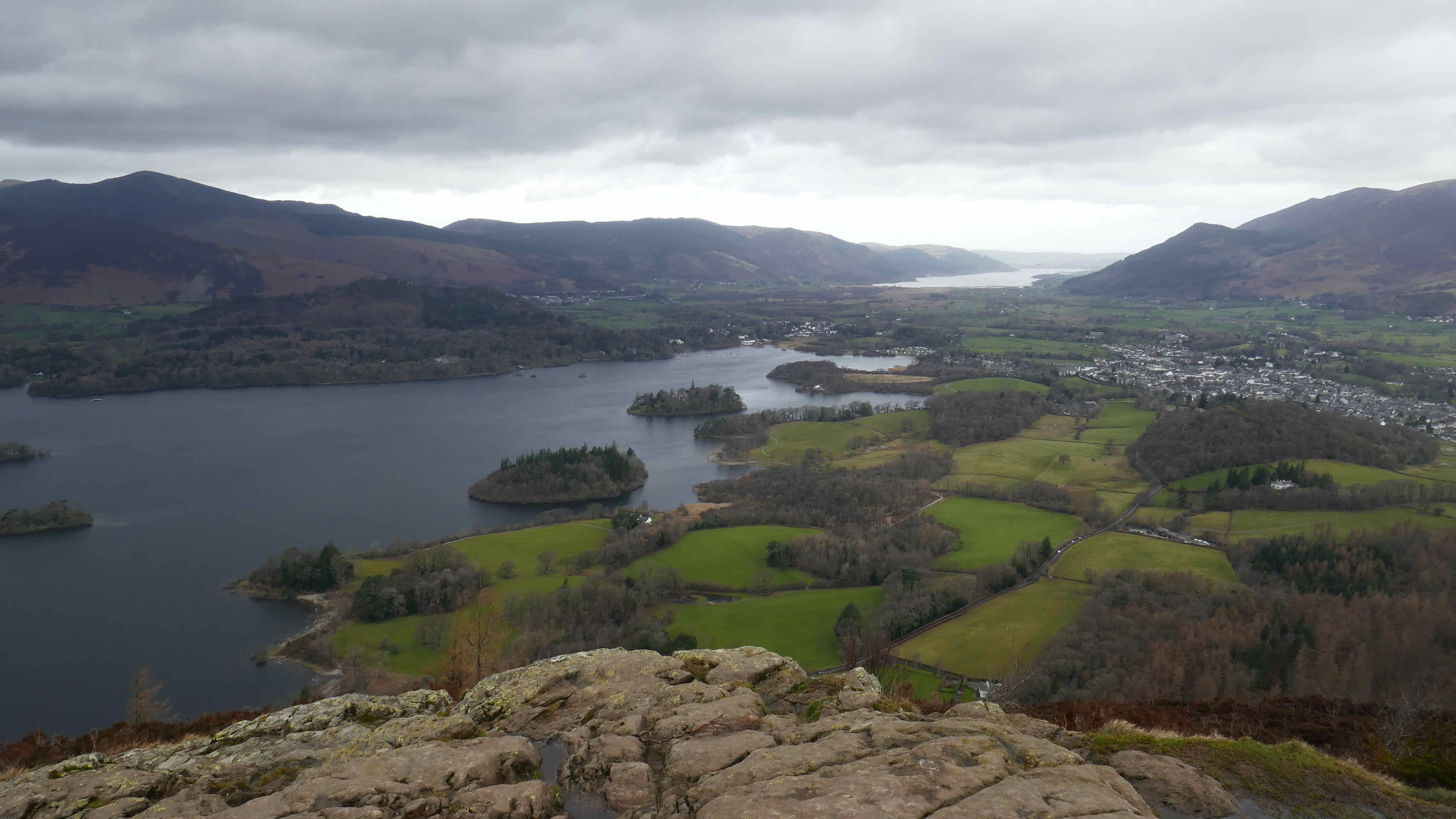
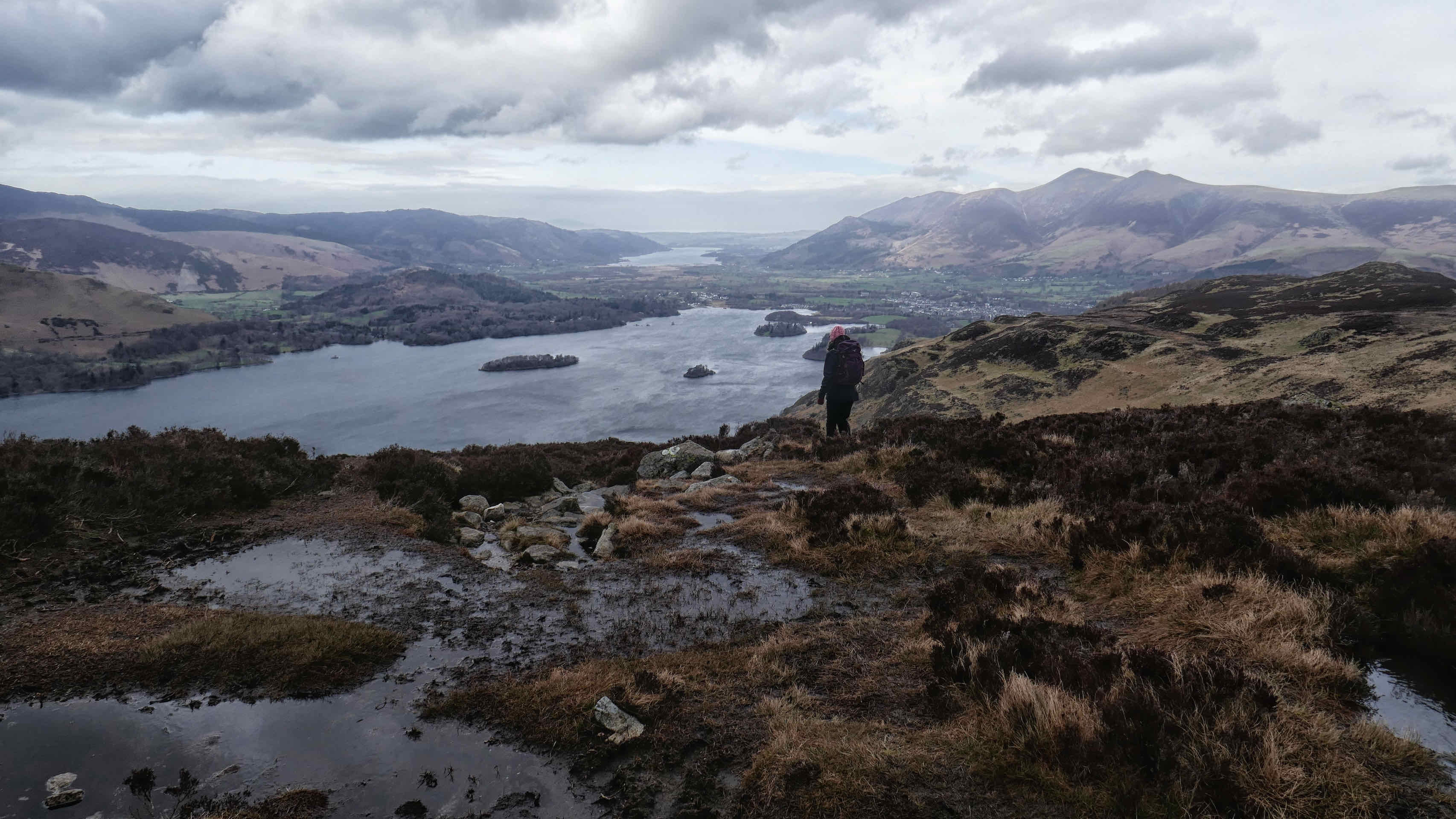
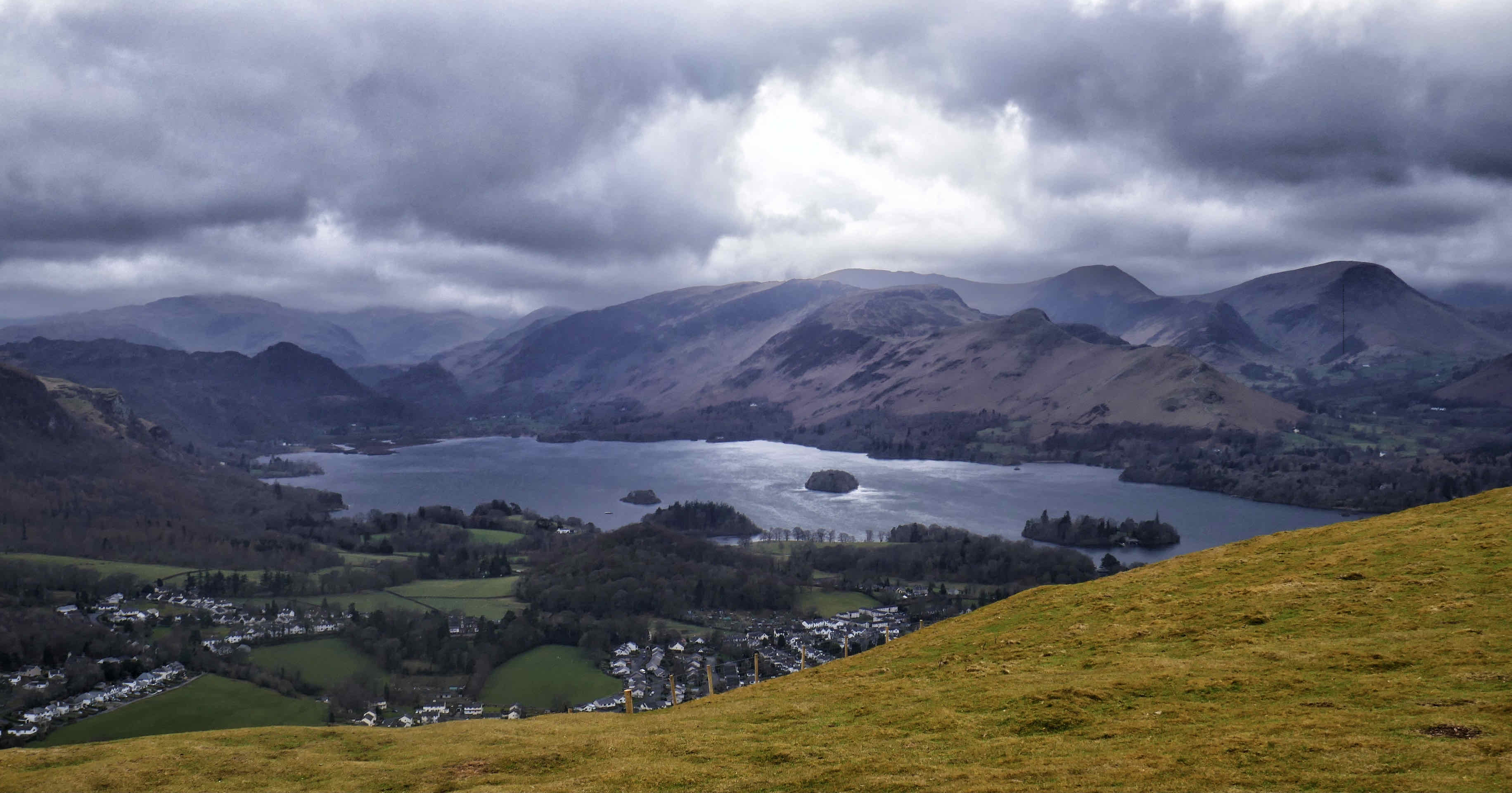
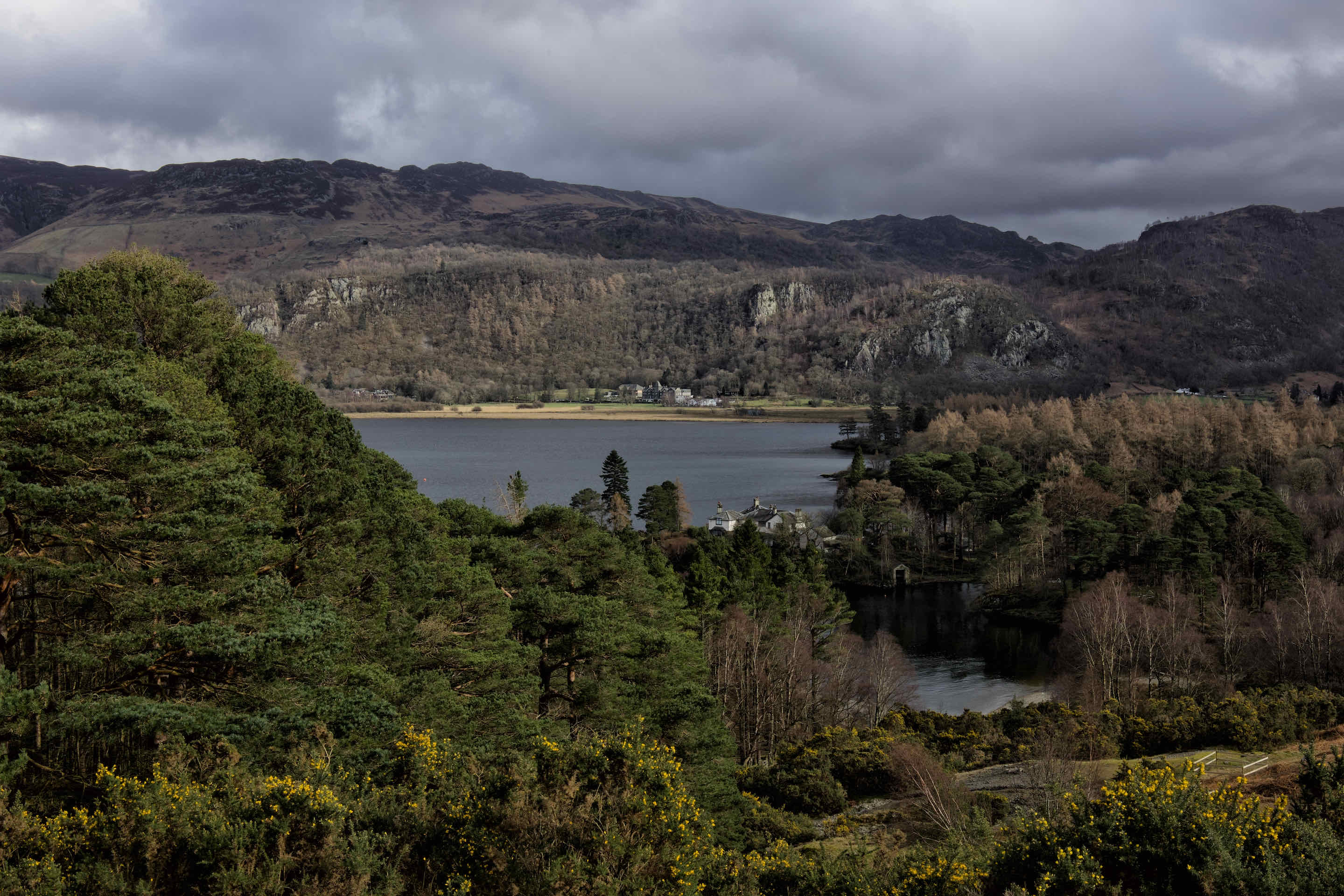
Walla Crag has a sheer cliff face that overlooks Derwentwater. It is approachable via lanes and trails out of Keswick and a path that sort of “sneaks up” on the cliff edge from behind. It was a cloudy day as we sat on a rock on the cliff top admiring the view toward Keswick and over Derwentwater.

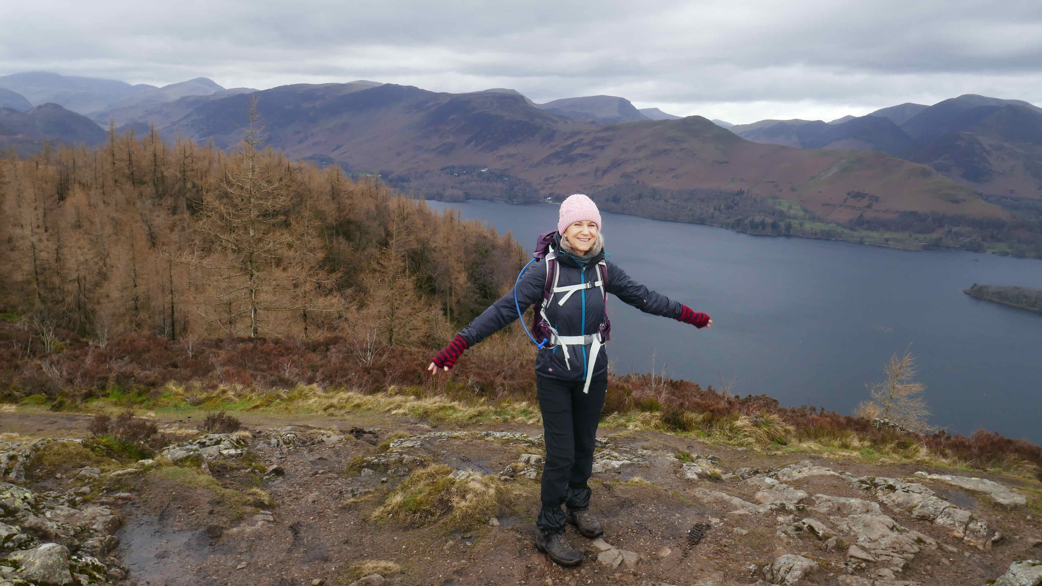
From this point we headed to Bleaberry Fell. A good but wet path deteriorated as we crossed a marshy landscape but eventually we made it to the top of the fell. It was very cold and an icy wind blew ferociously across the summit as we paused very briefly for photo’s.
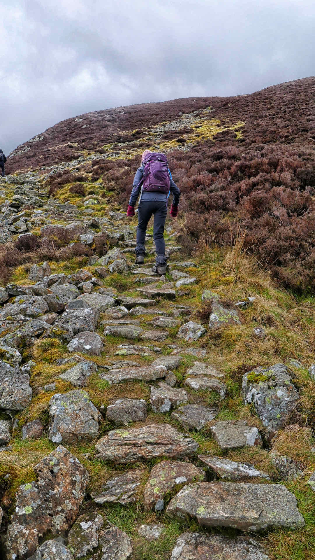

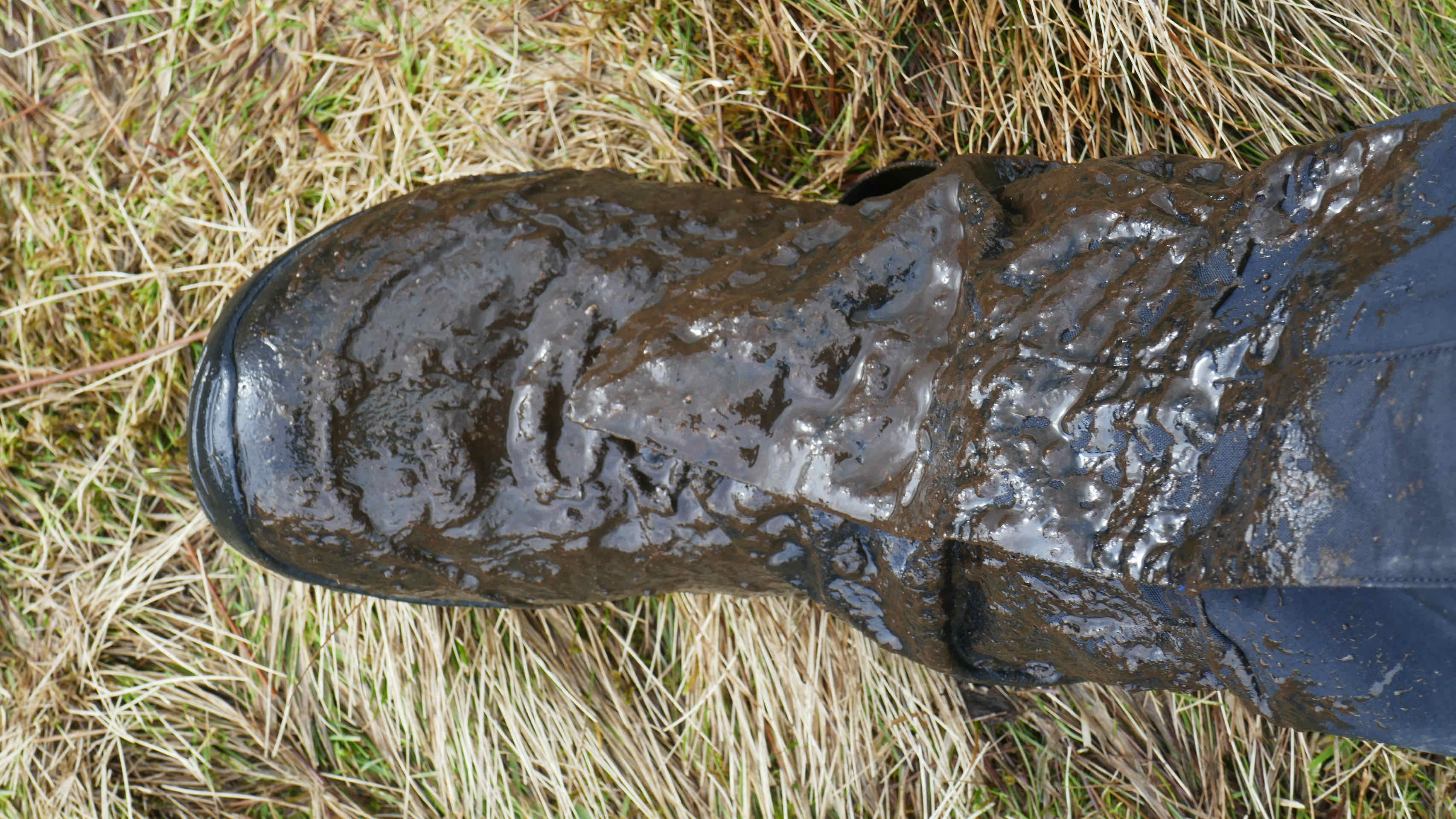
Clockwise from left: Lyn climbs Bleaberry Fell; Lyn on top of Blueberry Fell; Us on Blueberry Fell; Muddy Boot – The result of me crossing a stream ………and missing the back.
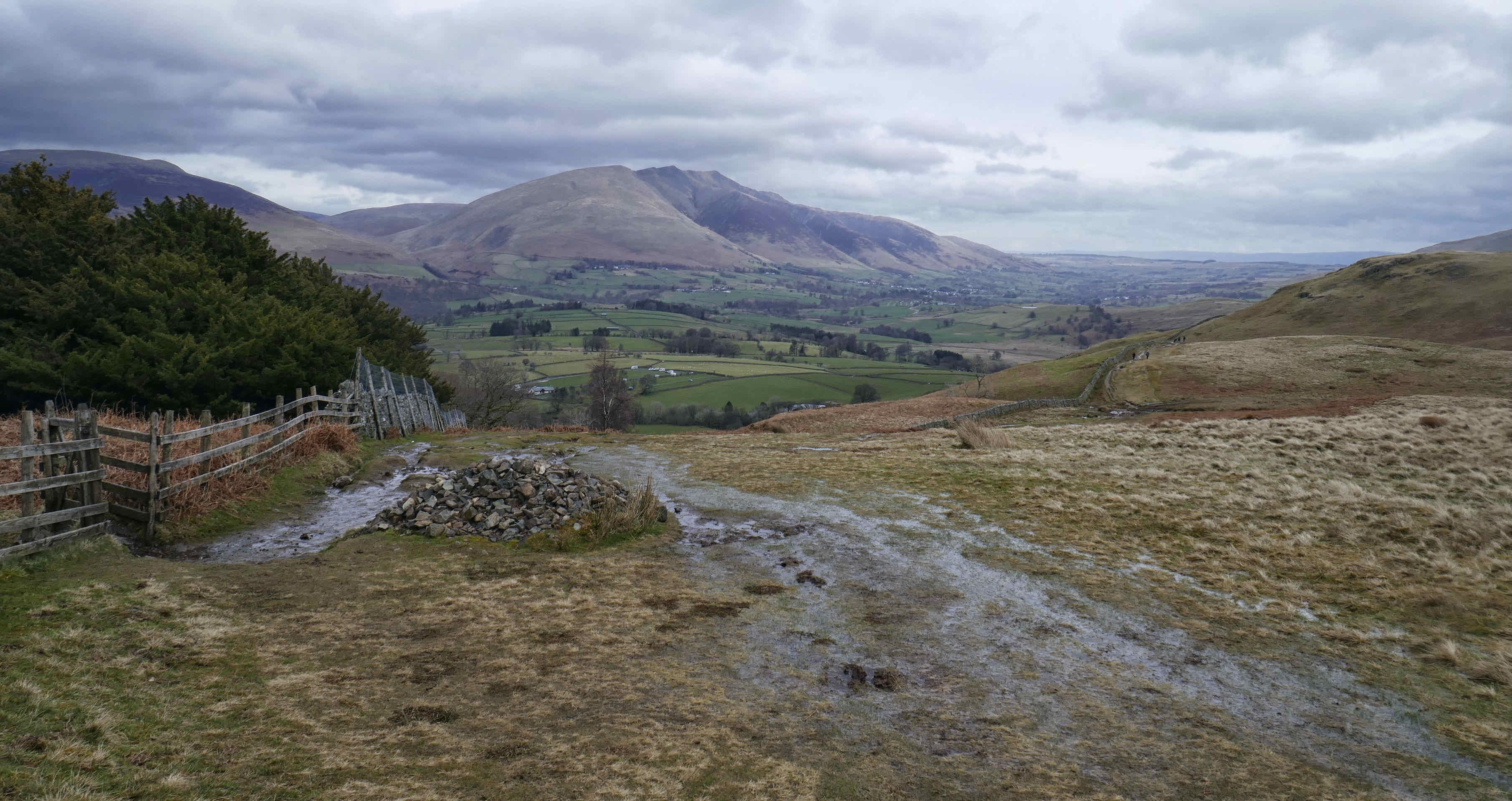
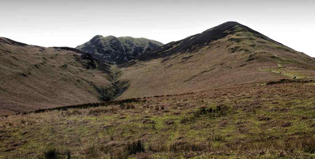
Our next peak was High Seat and the ground between us and it was covered in half dead heather. I could imagine that in August, when the Heather is in bloom it would be a sea of purple.
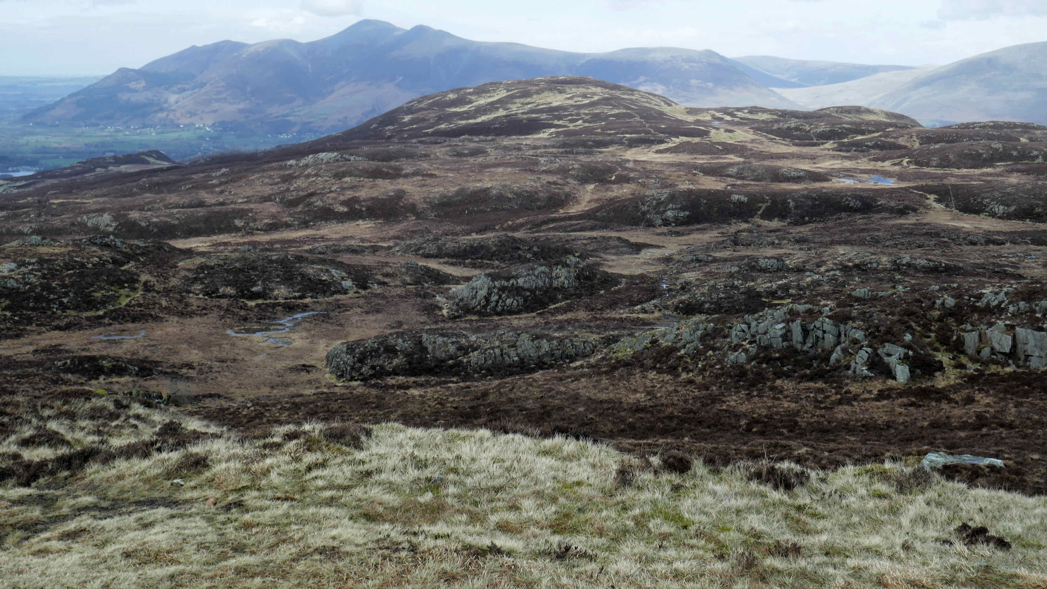

We huddled behind the fell on rocks whilst we ate a quick lunch and worked out our route back. We saw what appeared to be a flat track which we followed, eventually descending to one of the best known photo locations in the Lakes at Ashness Bridge. Sure enough, when we arrived tourists were on the bridge taking selfies, having walked only from the car park about 100m away. From here the path contoured the hillside and we eventually returned to Keswick via the path around Derwentwater.
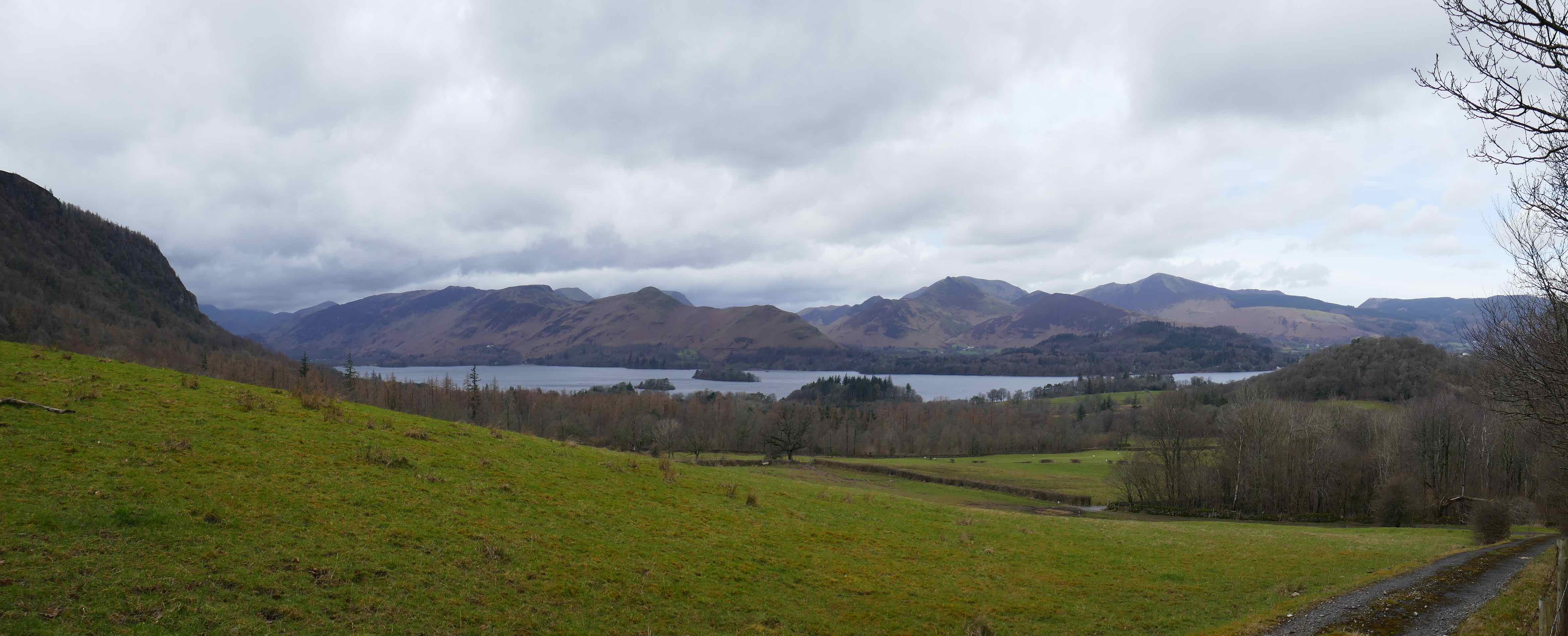
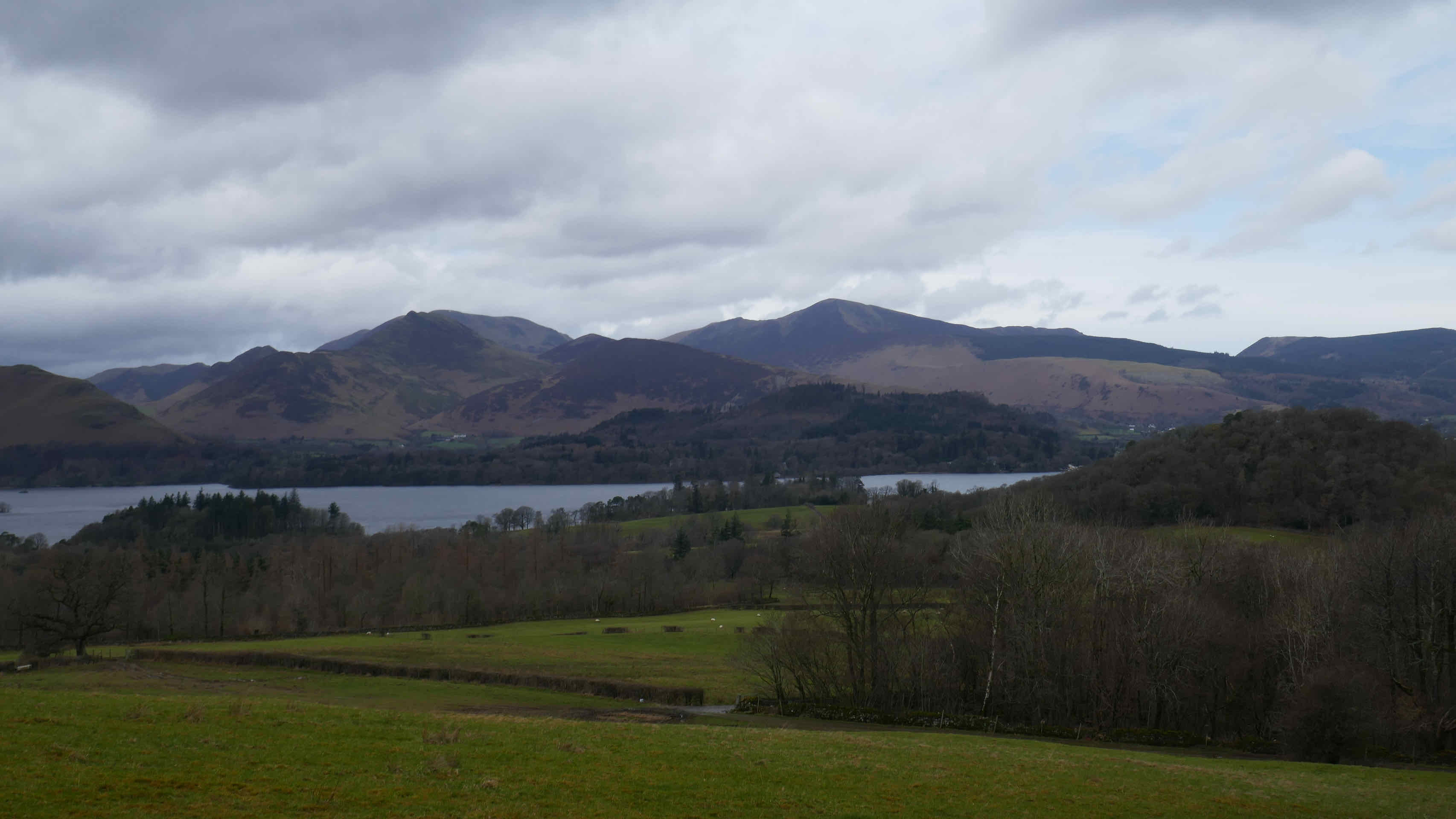
Alfred Wainwright, that great documenter of the Lakeland Fells described Latrigg summit as “the easiest of promenades” which can be tackled not in “old clothes and heavy boots; ‘Sunday best’ is quite appropriate dress.” I have news for Mr Wainwright. It gets windy and cold in Keswick and we were well wrapped up as we made the summit to lovely views down Derwentwater and the western fells. A shorter walk this day as the weather forecast was poor for later on. This one was for us not our group.

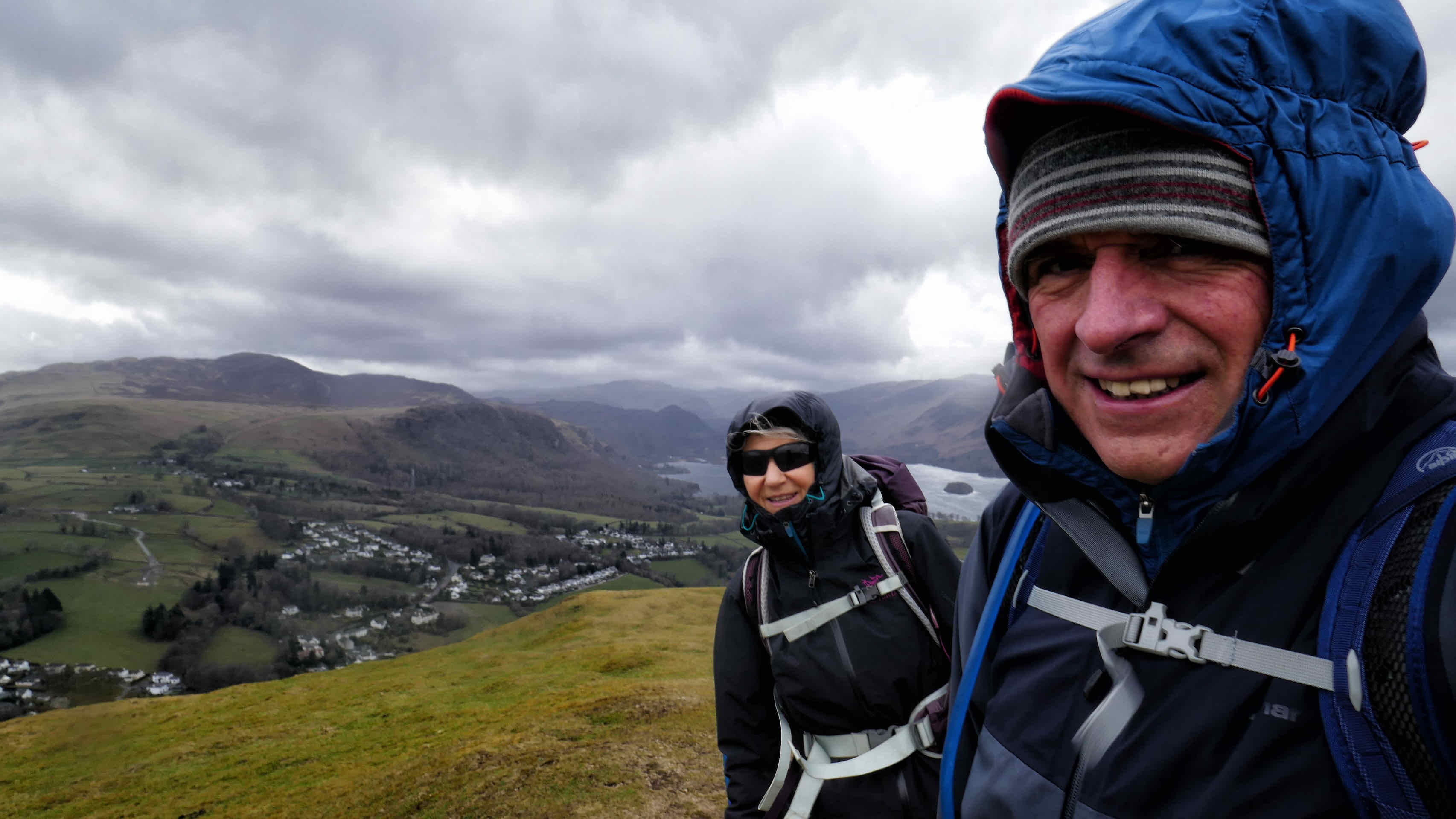


Top: Faint rainbow seen from Latrigg; 2. Us on Latrigg; 3. Lone Tree; 4. Derwentwater; 5. Catbells with Robinson in the background.
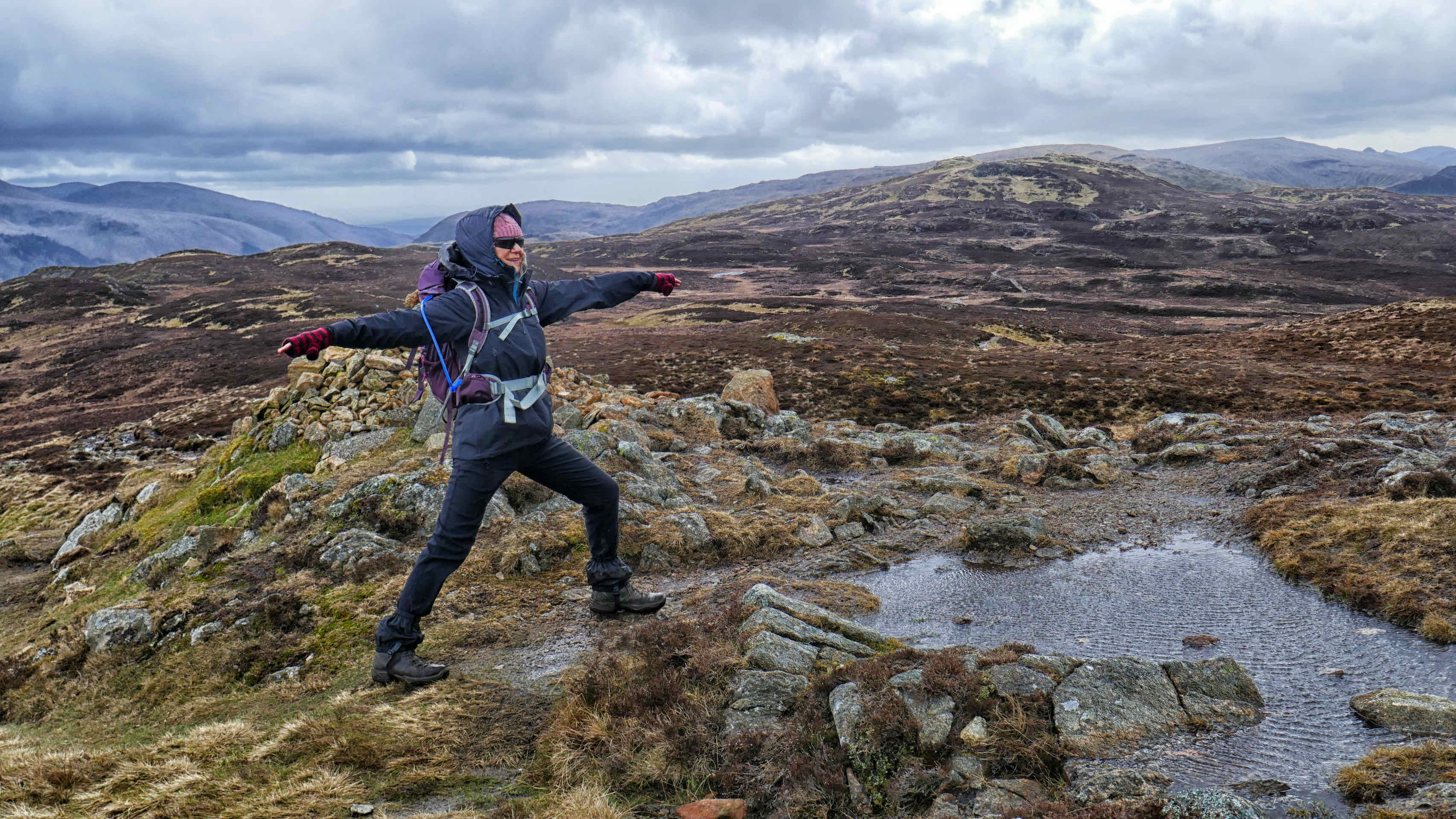
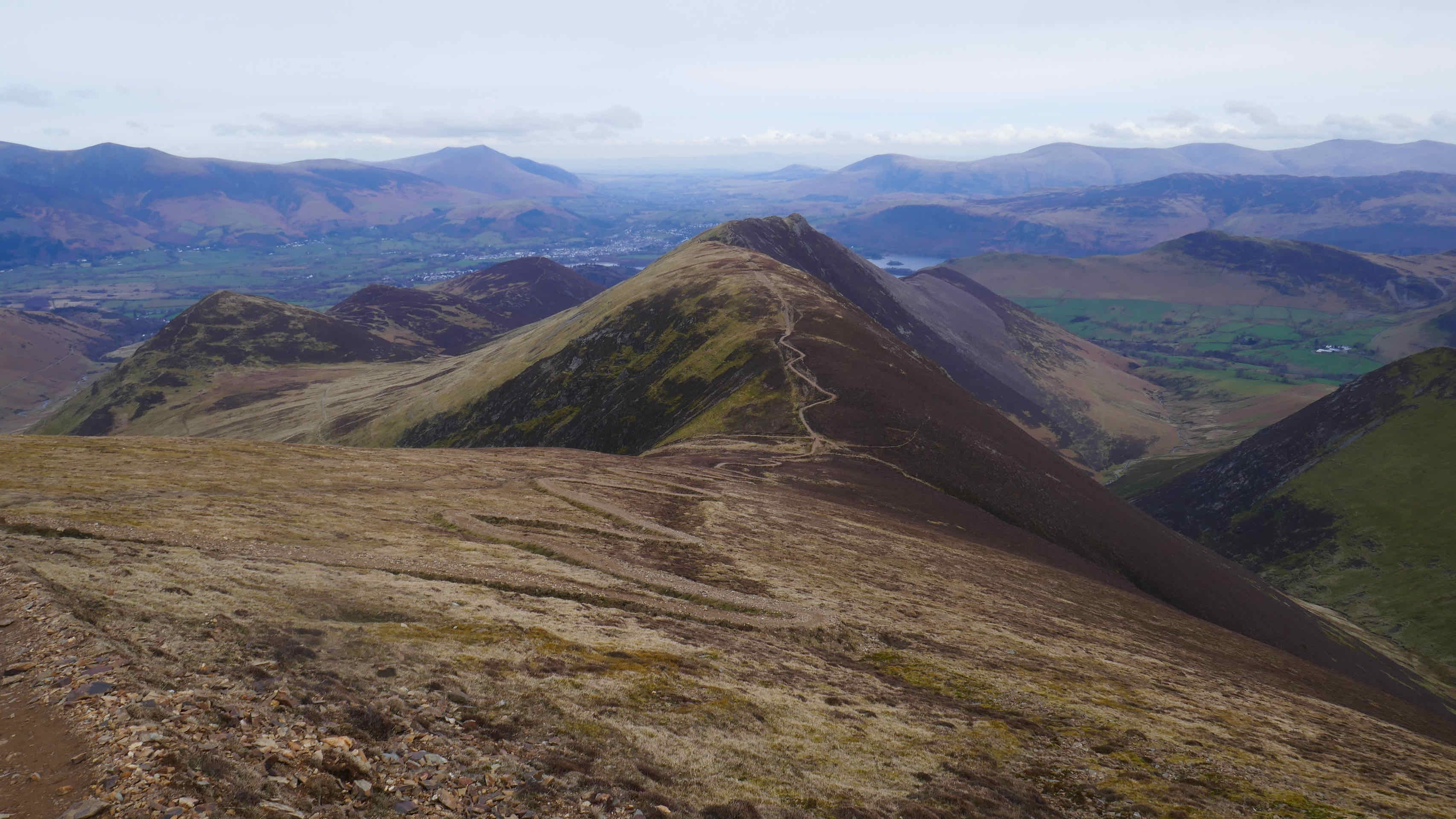
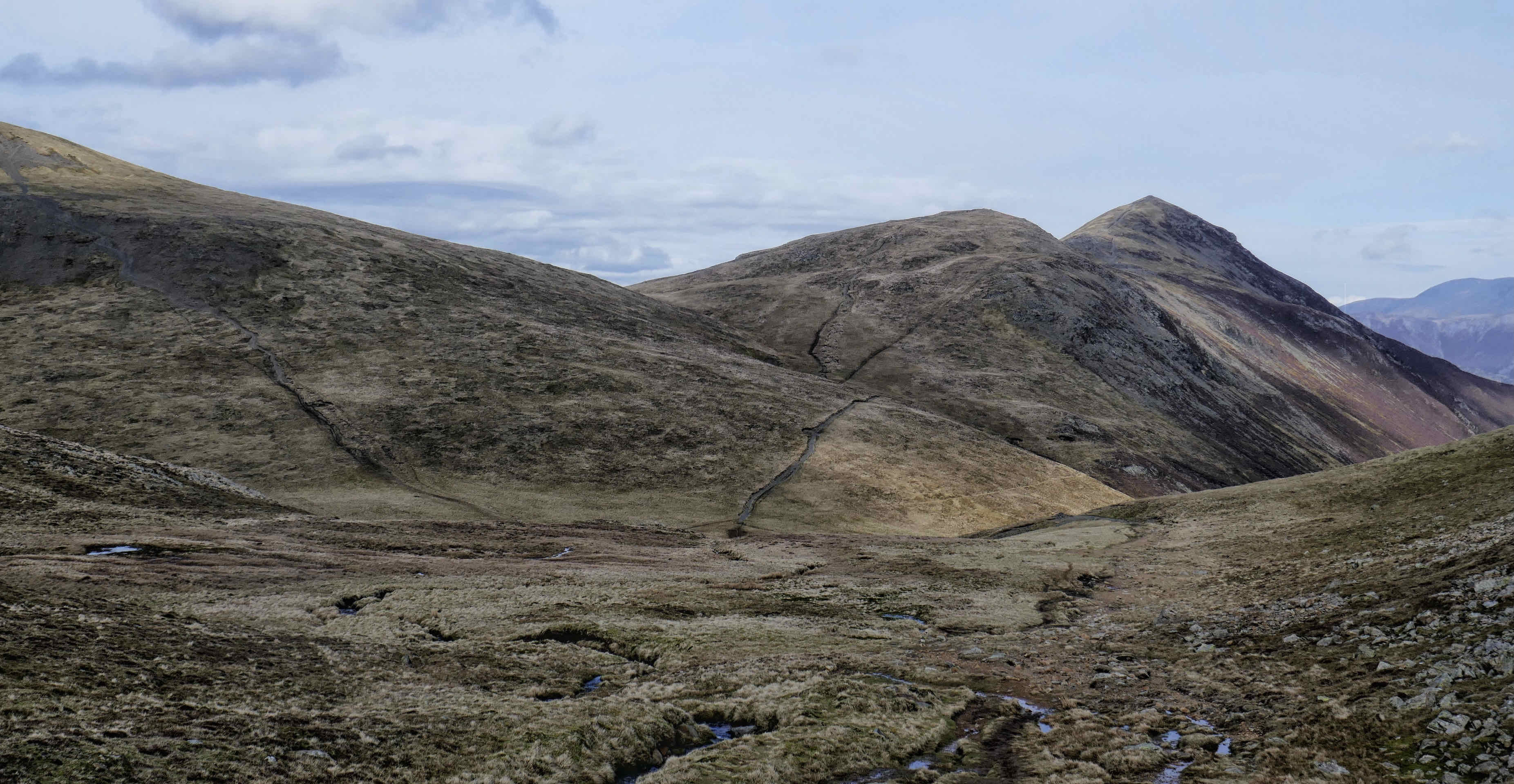
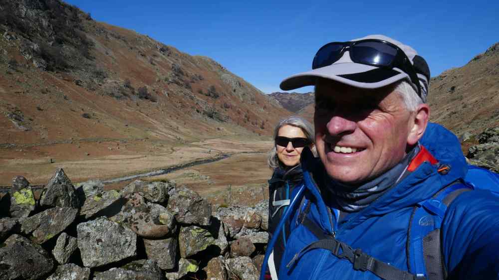
We had previously walked in and around the Coledale Horseshoe which starts near Braithwaite. Our route took us over 5 fells during the course of the day and according to our route finder involved nearly 4000ft of ascent. This is one we are offering to our group in the summer so it was important we get it right.
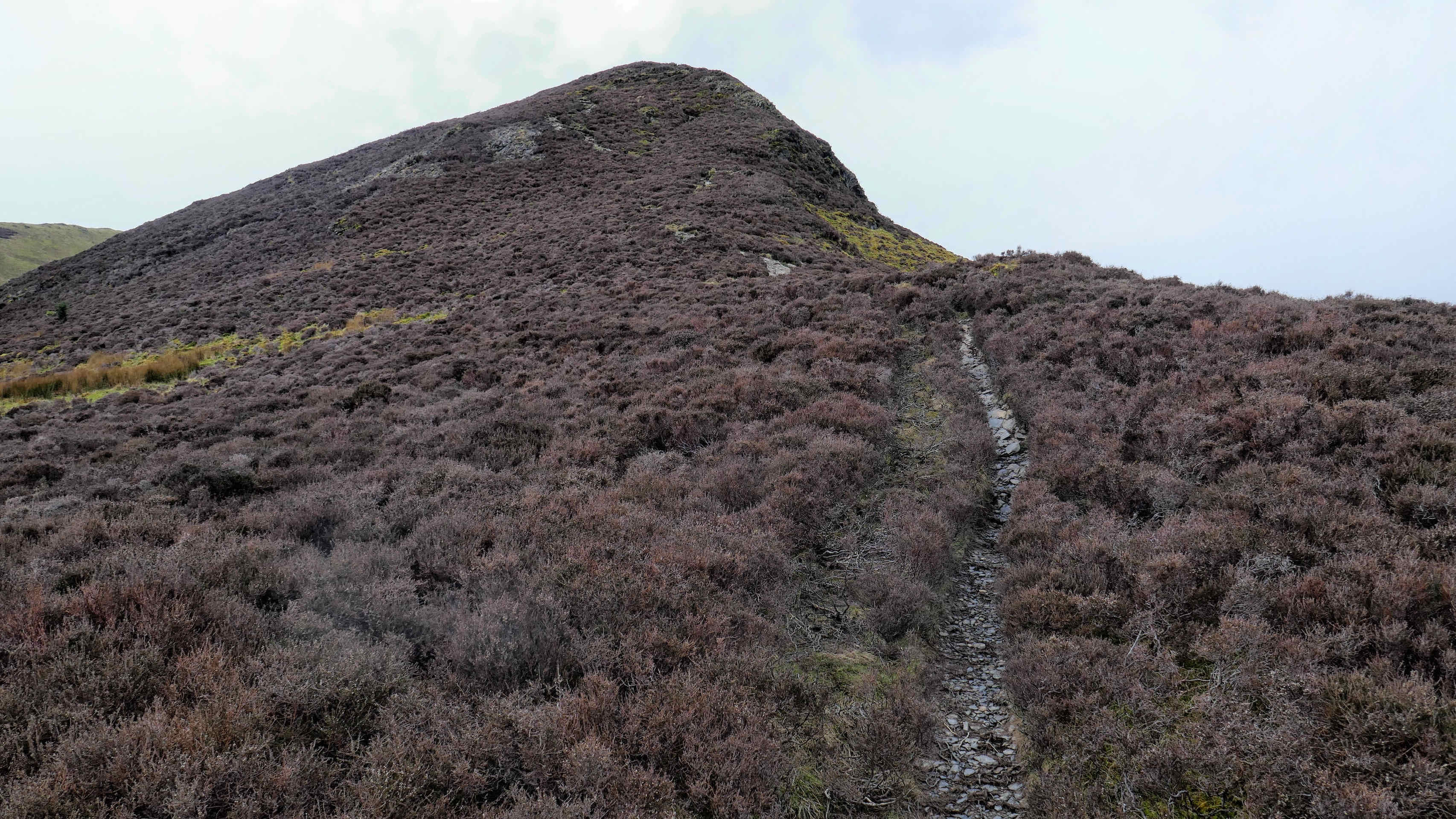
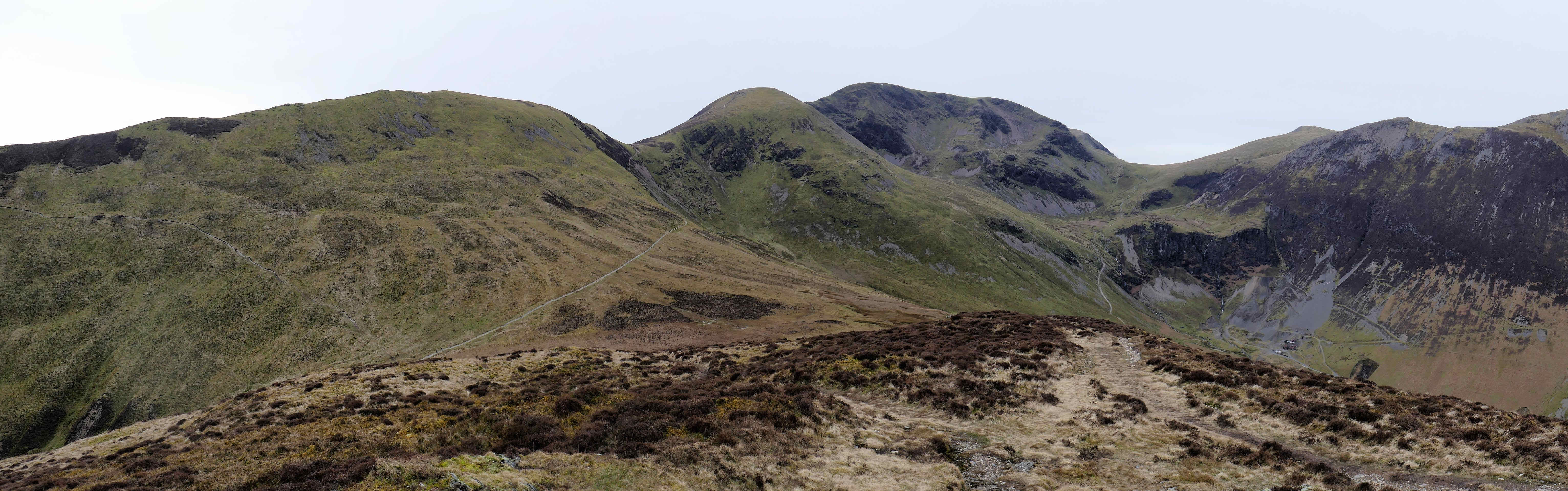
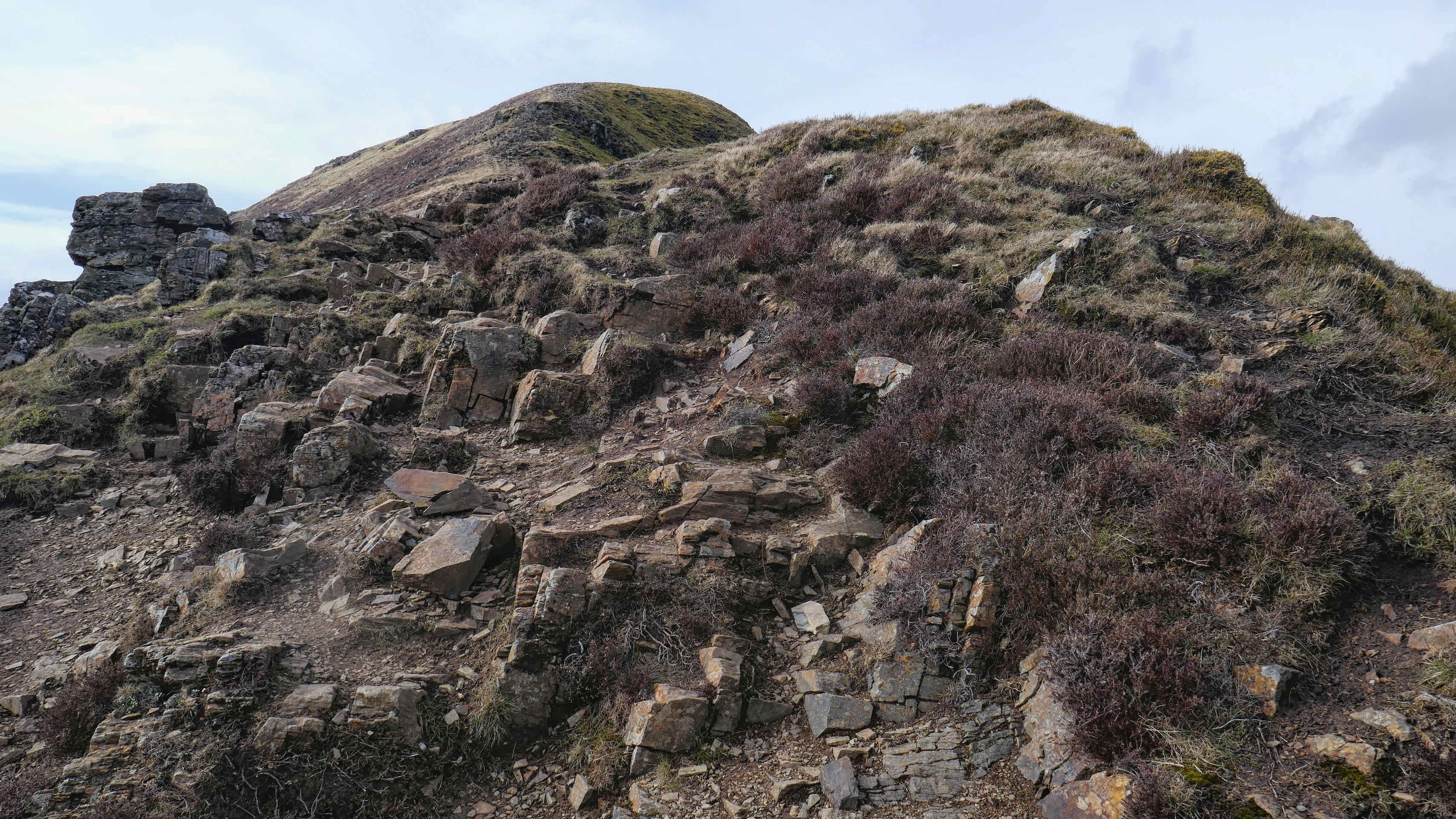
It involves the fells of Barrow, Outerside, Causey Pike, Sail and Crag Hill, although only the first four are designated as “Wainwrights”. We called it our 5 Hills walk. As a walk it was breathtaking and hard in places but we managed it, with just a little trepidation as we scrambled up Crag Hill, the last of the five. From here it was literally all down hill as we followed a wide grassy track under Eel Crag and down Coledale Hause past Force Crag Mine and back to Braithwaite.


Top: Approaching Outerside; Centre: Pano from the top of Outserside; Bottom: Looking back from the top of Sail towards Causey Pike.

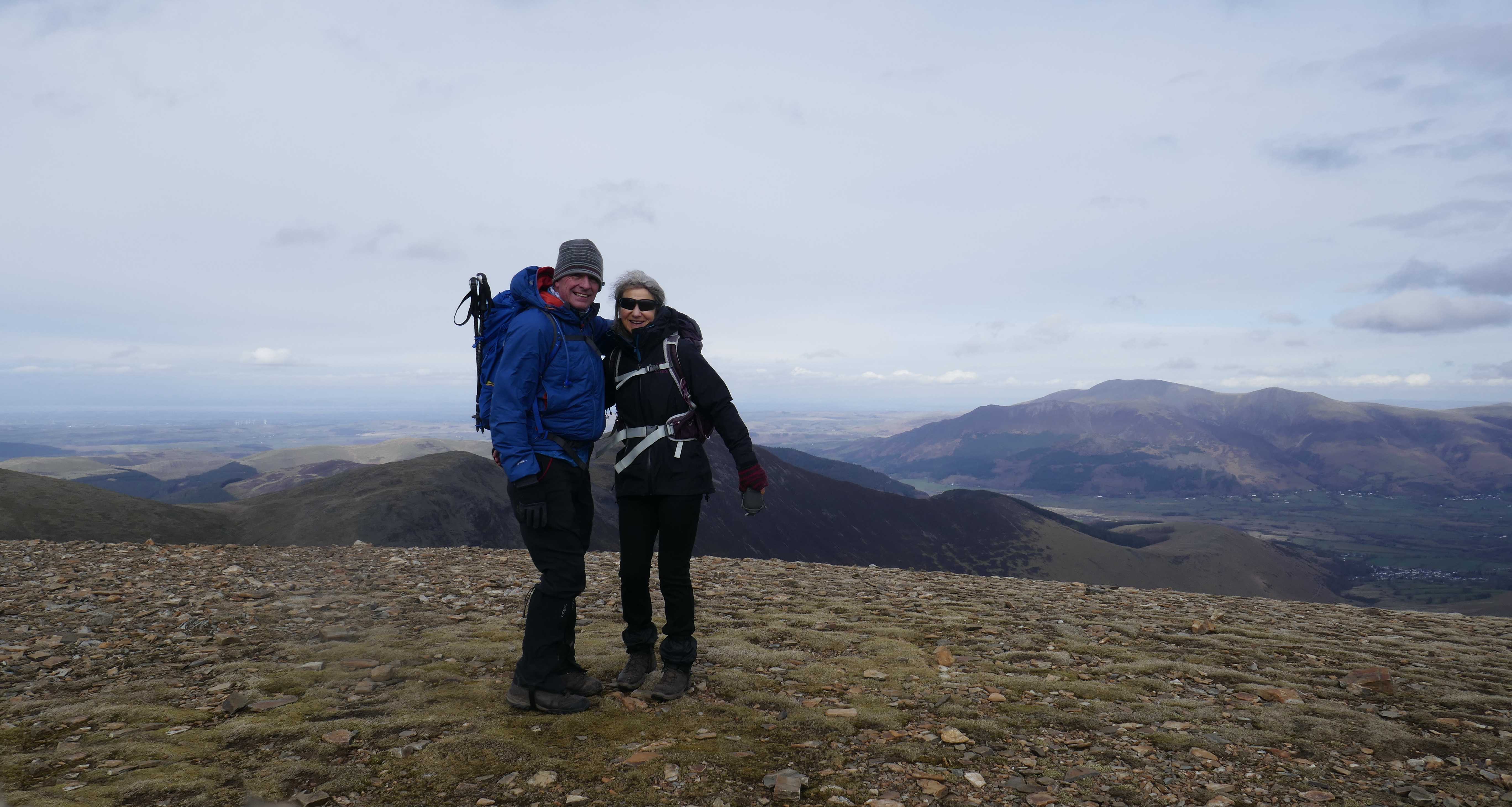
L: Crag Hill From Sail; Centre: The Route Up Crag Hill; R: Us on the Summit of Crag Hill


We lost the next day and half to rain and wind but were able to get out for the tourists favourite from Keswick up onto the lower path, The Catbells Terrace, returning along the west side of Derwentwater.


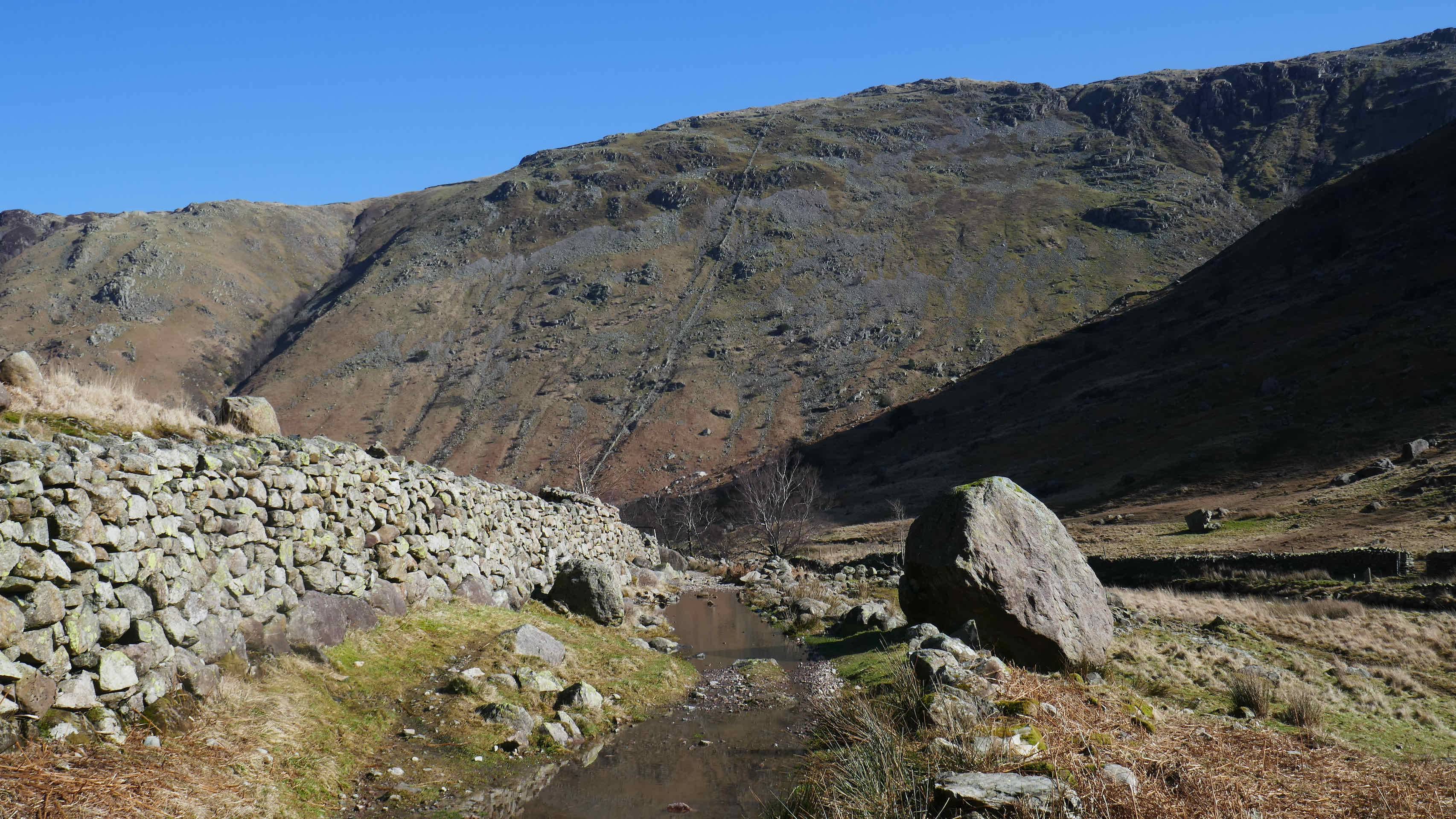
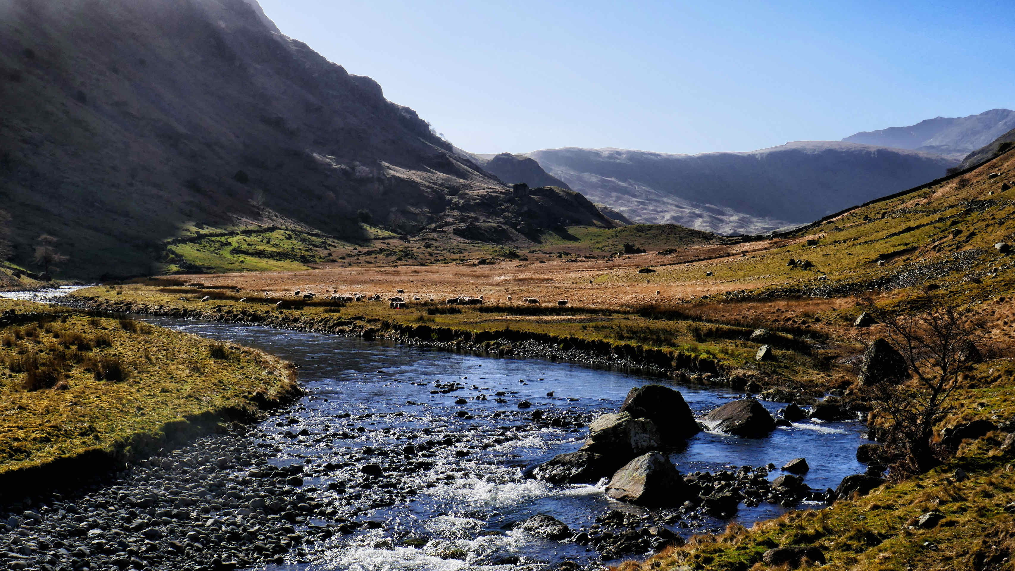
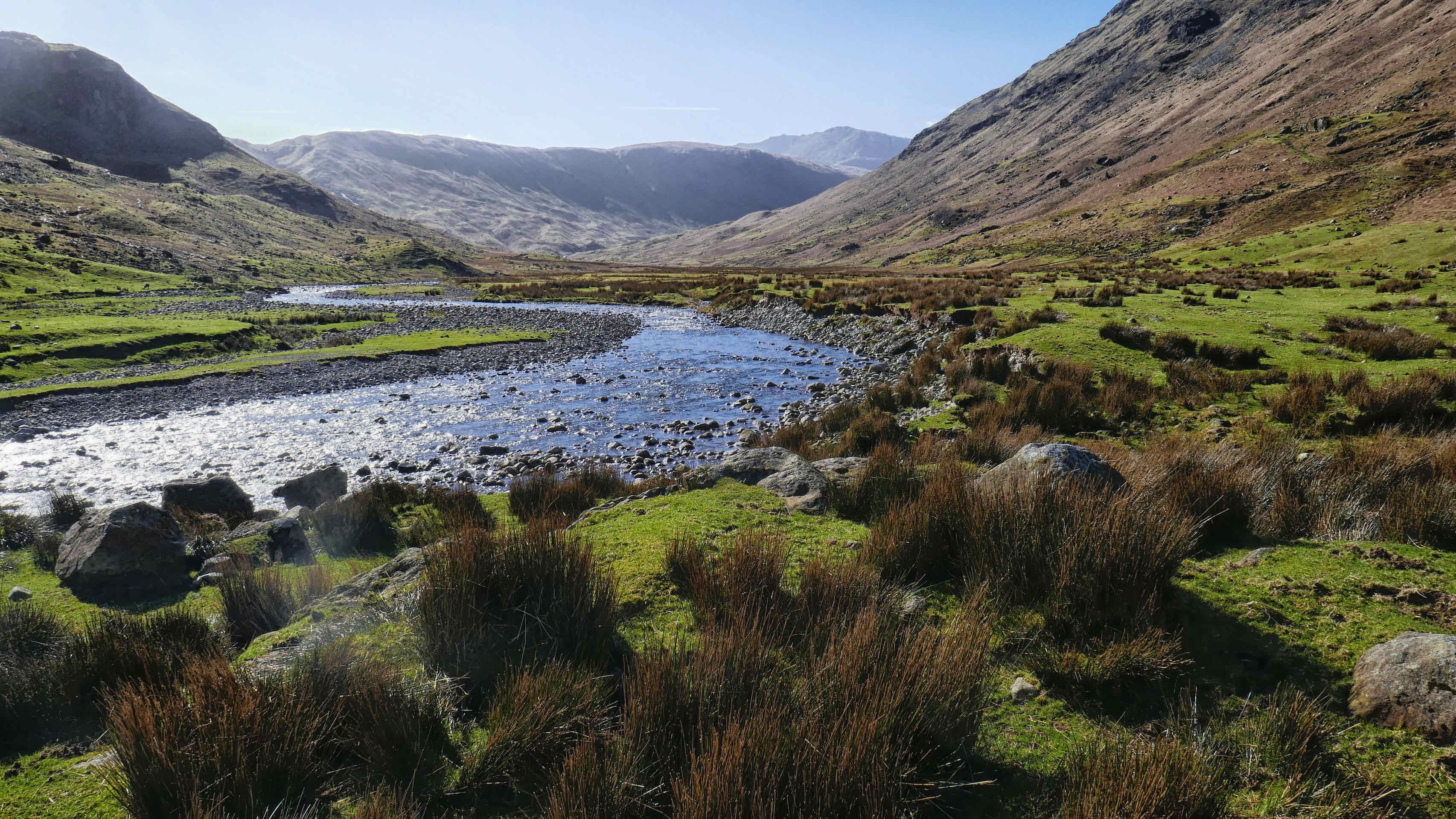
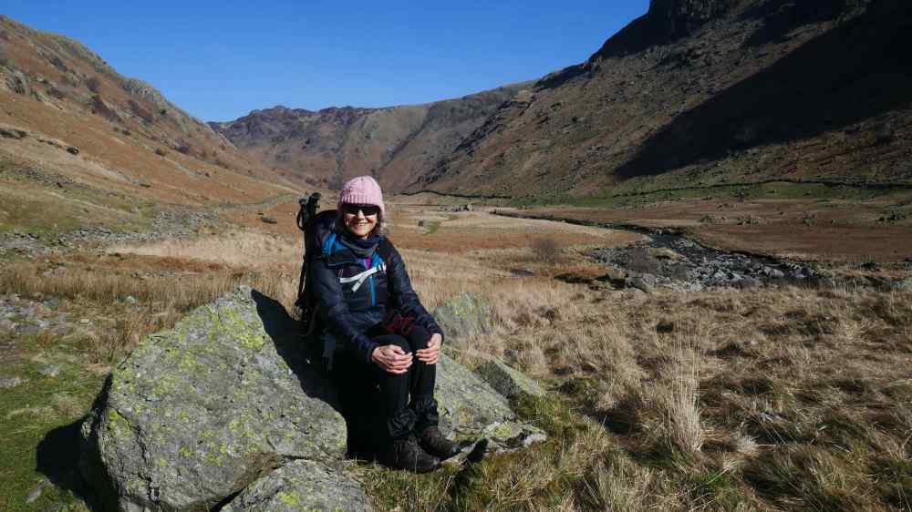
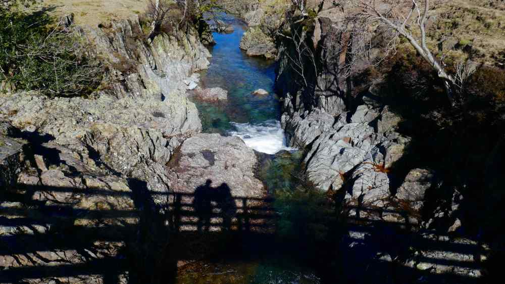
Our last walk was a shorter, flatter out and back route route along the Langstrath Valley, which can be accessed from Rosthwaite. It was a glorious sunny, but cold day with clear skies; what is not to like about walking in the Lake District? This is a route we plan to offer those who would like a shorter walk with very little climbing.
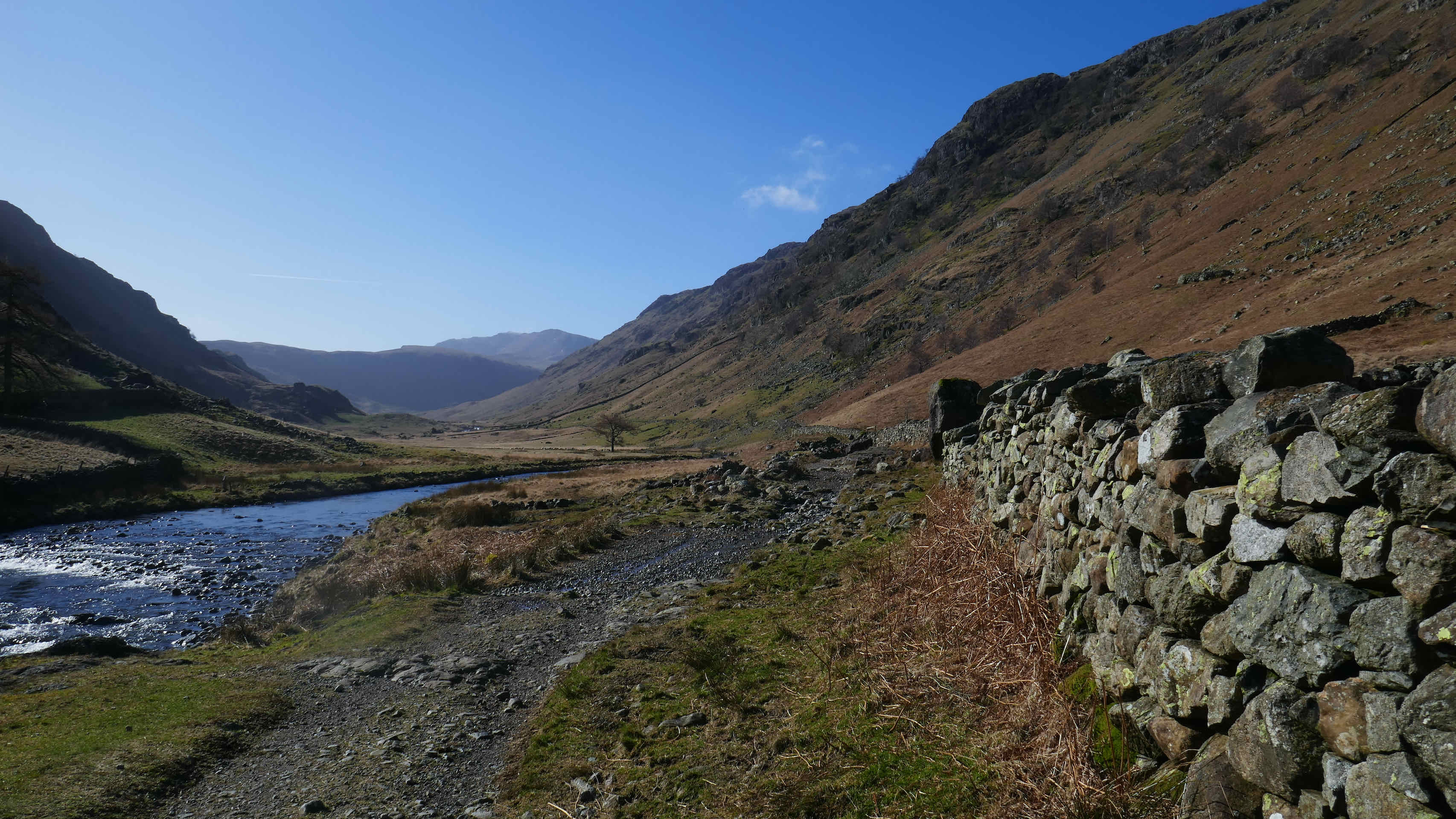


Langstrath Valley – The Route Out

More of The Route Out
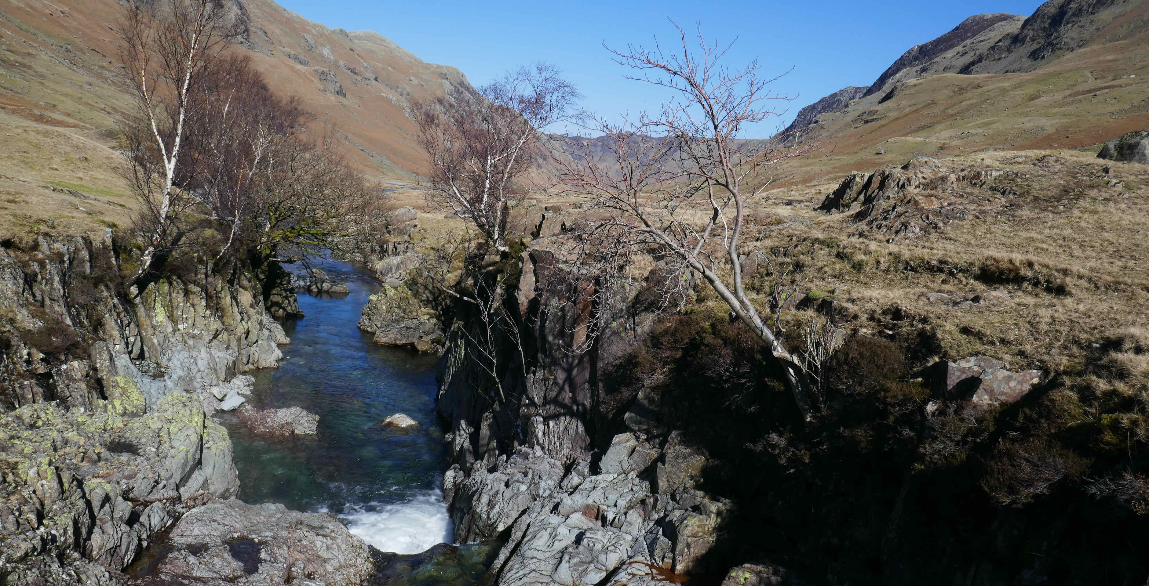

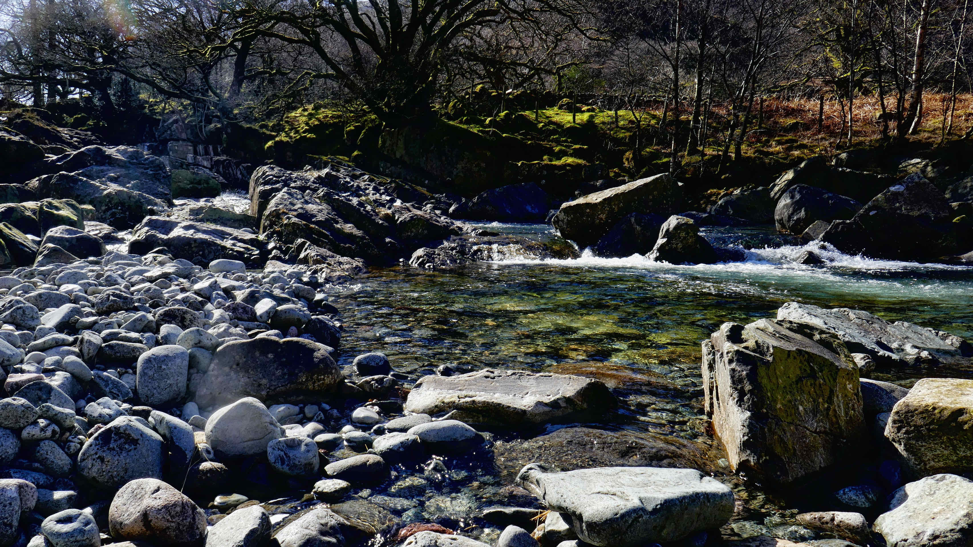
The Route Back
On the whole it was a successful week despite the mixed weather. One advantage of walking here in June is that the weather will not be as wintry as it was for this week. (Famous last words!)

It’s great to see your adventures although we chuckled at the veeeery modest and extreAmly unlikely event that would see you consider a vertical scramble too much !
Sent from my iPhone
>
LikeLike
So impressive. Jim & I must join you some time on one of these hikes! Not sure we can keep up though… 😉
LikeLike