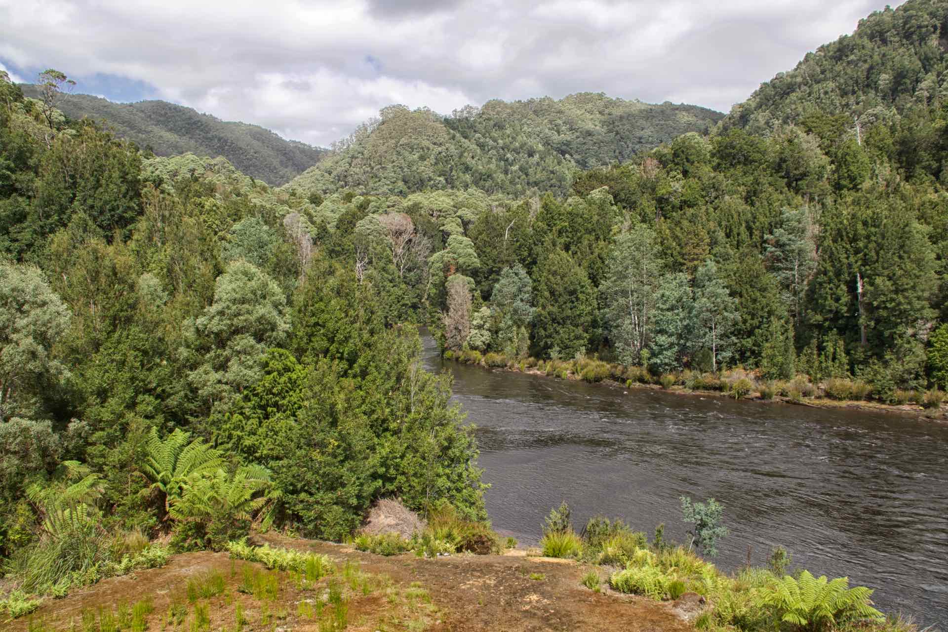
We are in Strahan, a small village midway up the west coast of Tasmania. If you set sail in a boat and turn right out of Macquarie Harbour into the Southern Ocean and head west, the next land mass you are likely to bump into is Argentina, which is a long way away.
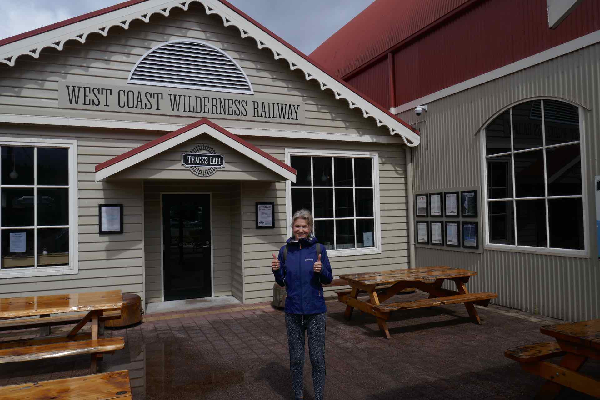
A while ago I wrote about our trip on the Mary Valley Rattler, a Heritage Railway operating out of Gympie in Queensland. Strahan has its own Heritage Railway, The West Coast Wilderness Railway, which operates between Strahan and Queenstown and follows a route through the rain forest in which it was originally laid.

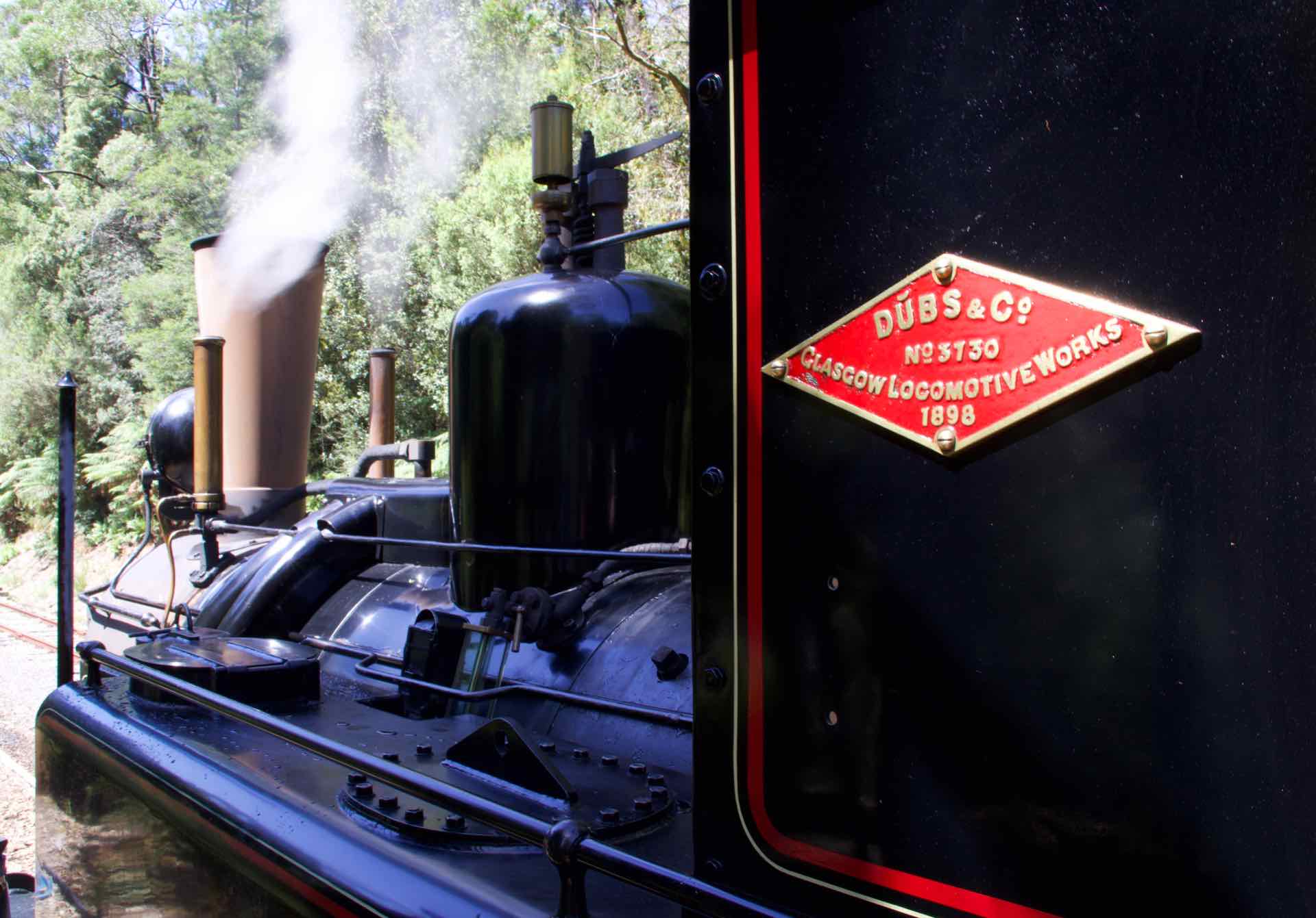
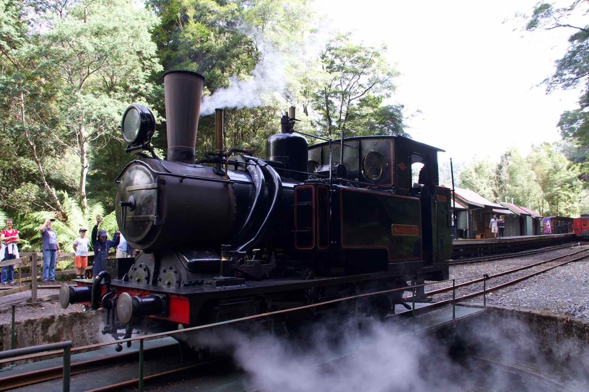
One of the steam engines on the Wilderness Railway
The Heritage Railway is a reconstruction of the original line built by the Mount Lyell Mining and Railway company which operated between the same locations to bring the mined copper from Queenstown to the harbour at Strahan and onward around the world. Until 1932 it was the only way to get the copper from the mine to market when the road between Queenstown and Strahan was opened. Slowly the railway fell into disuse and finally closed as a working rail line in 1963. The last train to run was hauled by the same locomotive that ran the first service way back in 1897. After the railway closed, the line was disused and fell into a dilapidated state until the mid nineties when the local people saw an opportunity to re-open the line as a Heritage Railway to attract an increasing number of tourists to the village.
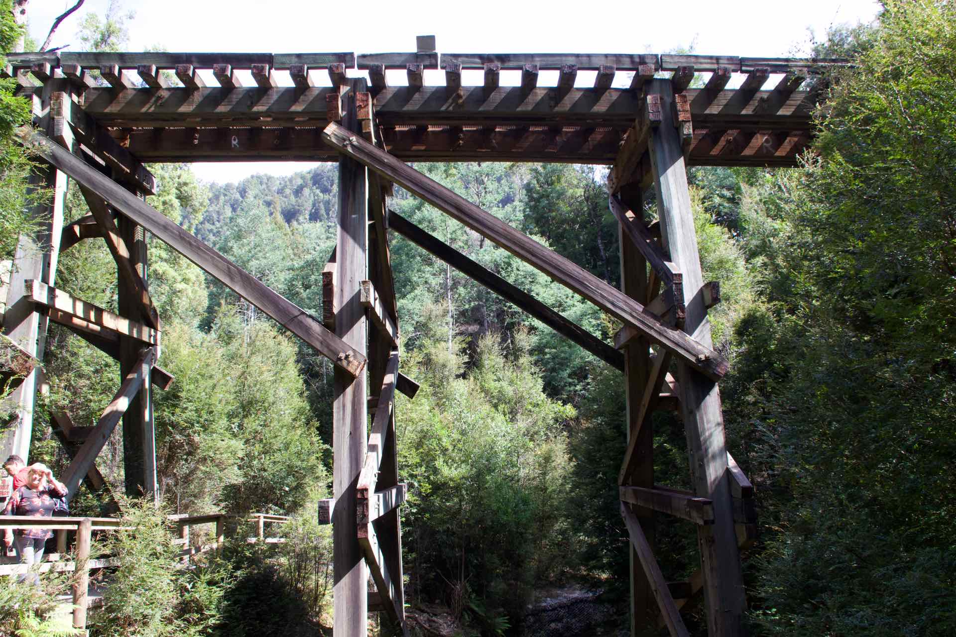
Building the original line in the 1890’s was a challenge in itself. The surveyors, hired by the mine owner to plan and build the line initially said finding a route through the rain forest was impossible, so he fired them, and hired more who said it could be done. The owner then hired 400 men to clear the route and lay the track. They could not use dynamite to blast through the rock because the ground was too soft, so they were forced to hand dig. They were digging through rain forest, so the men dug, and dug, and dug their way from Queenstown. It still only took four years to lay the line which was a remarkable achievement. Trains were imported from Glasgow and arrived in kit form with no instructions on how to build them. Flat pack trains long before the idea had been invented! Also one metal bridge was brought from the UK and that had to be put into place without the aid of cranes, another civil engineering feat.


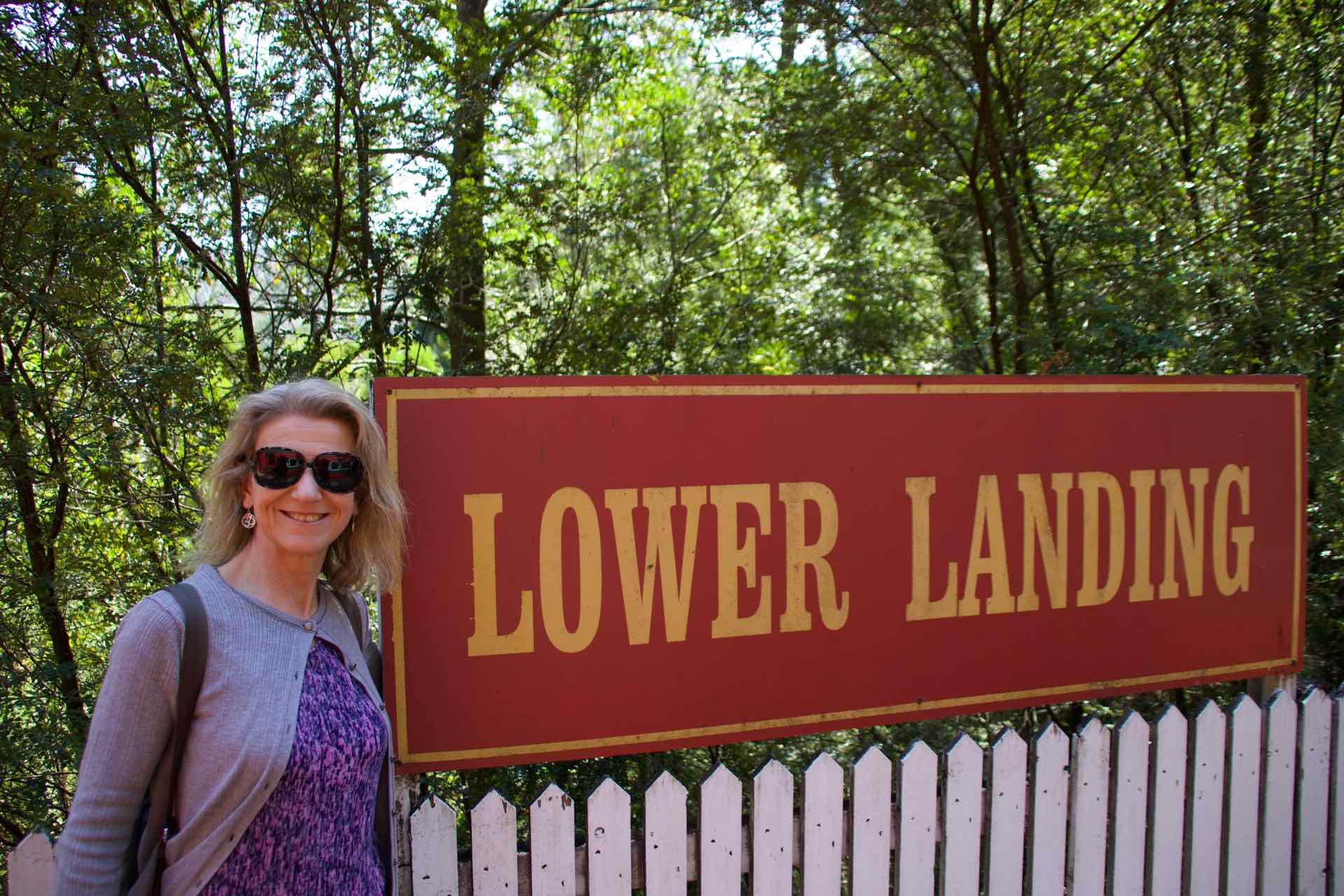
top: Two views of the old bridge on the original route; Bottom left: The train at Dubbill Barrill Bottom Right: One of the original railway cuttings, this at Lower Landings
When the Heritage railway was opened in 2002 it followed the route of the original trains, except for the Quarter Mile Bridge near Teepookana. The old bridge was washed away in a flood in 1974, with the new bridge being built just south of the original. On our trip you could still see the original vertical posts sunk into the river. These were made from Huon Pine which is impervious to water.
Four of the original locomotives still operate on the line and these date from the opening of the railway in 1897! The trains were the first to use the Abt rack and Pinion system invented by the Swiss and seen on many of their mountain railways, to overcome the steep inclines between Dubbill Barrill and Queenstown.
The company operate different trips, depending on what day of the week it is. We rode the train on the shorter route between Strahan and the wonderfully named Dubbil Barril, a small settlement about half way up the line. Maximum speed on the line is 25kph for safety reasons but this gave time for our wonderful on-train guide and guard to provide a narrative on the history of the line, told through the records of some of the characters who built and ran it.

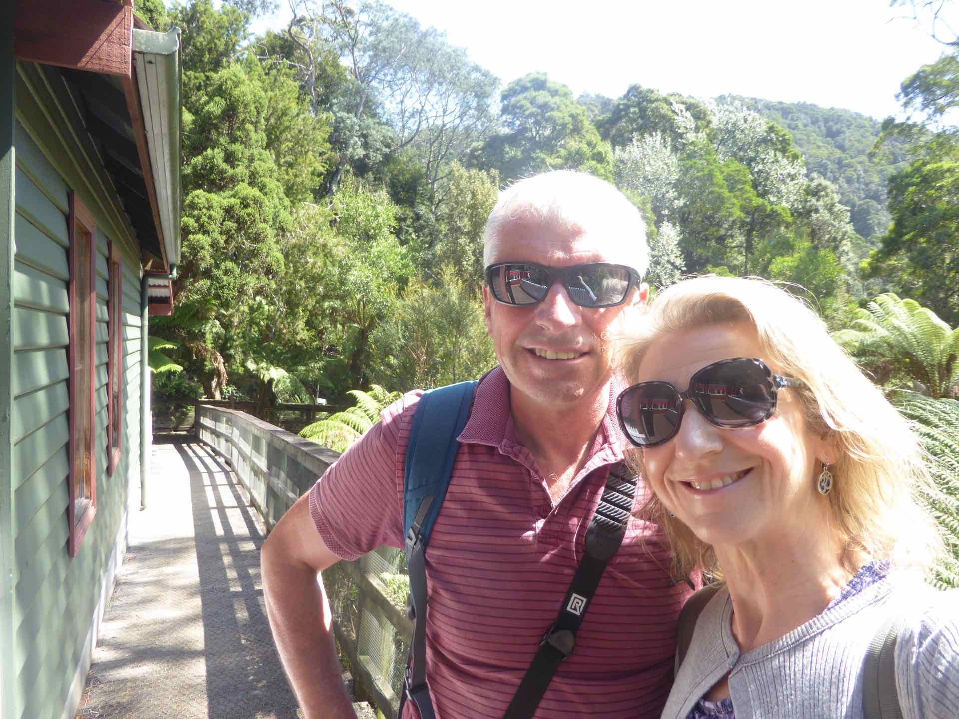
Station names and us
We had two stops, one called Lower Landings, where we were able to go down to the shore of the King river, and the second at Dubbil Barril where the engine was turned to haul the train back home. It is not known how Dubbil Barril got its name but many ideas have come to light over the years, none of them really credible so it continues to be a guessing game. Quaint name though. My theory? I think the bloke that named it was from Birmingham! Try saying it with a Birmingham accent…………….

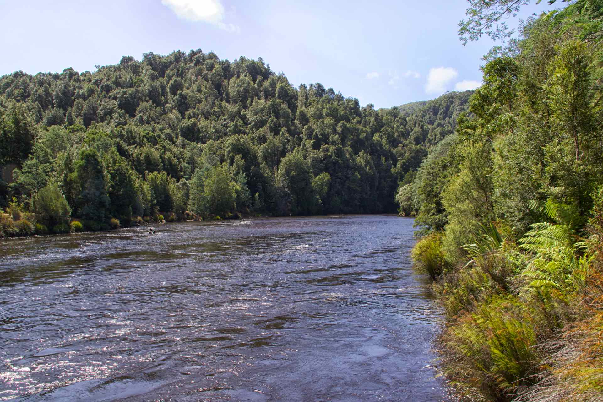
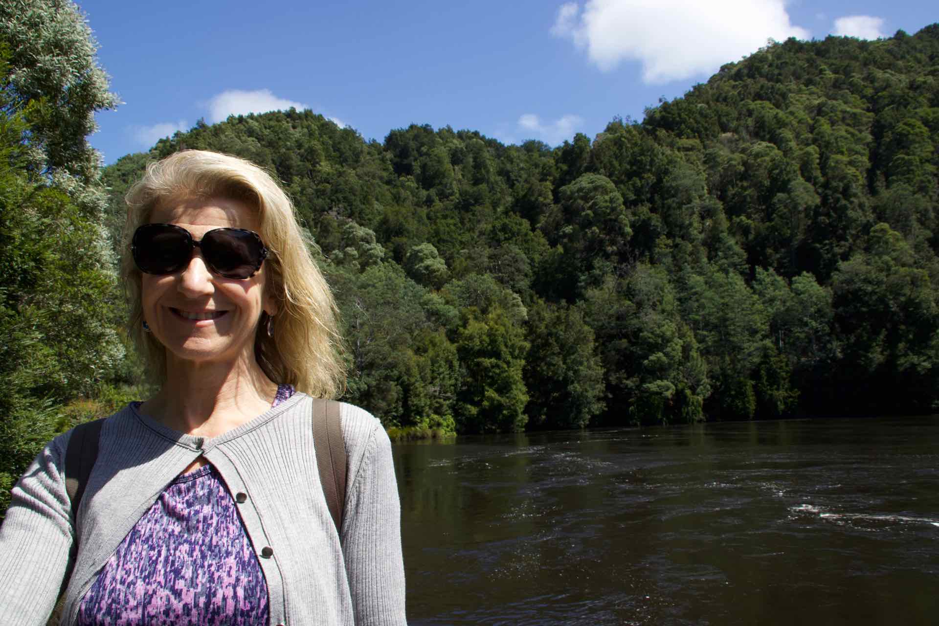
Four views of the King River from Lower Landings
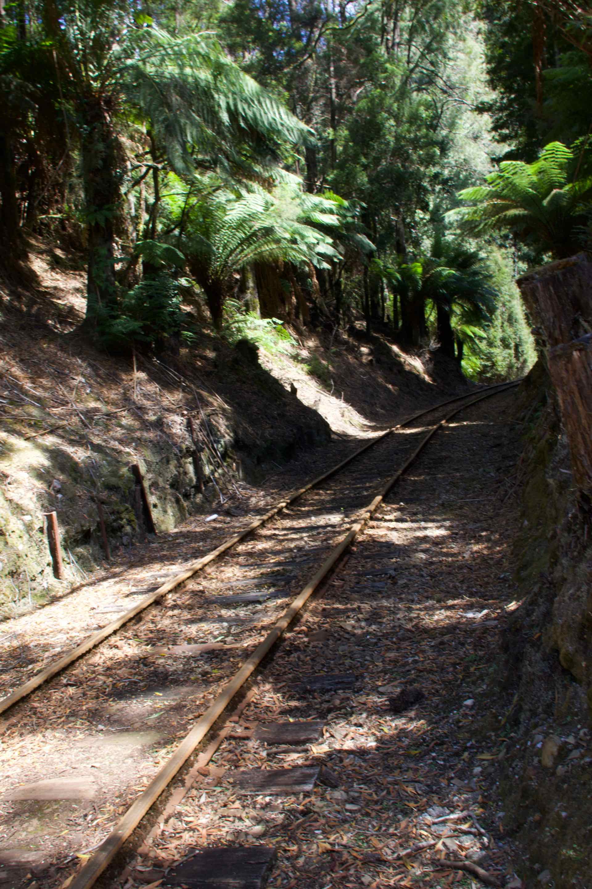
The train meandered along the single track, passing through the original cuttings and the layers of soil and rock mixed together are evidence that there is no way a route could have been blasted through the rain forest.


Clockwise from top left: On the turntable; Driver and Fire-person; Me on the footplate
On the return trip the stop at Lower Landings enabled us to try some very local honey made from hives not too far away. There were three varieties, a normal honey which was okay, one flavoured with ginger, and a third which was more expensive but was labeled as flavoured with Leatherwood. I must admit I was not keen on any of the three, but the Leatherwood variety tasted more like a posh creamy soap. Yuk!
By the time we returned to Strahan the temperature had dropped in anticipation of rain which duly arrived overnight.
One of the pleasures in moving from place to place is exploring the local area. In Strahan there was enough to keep us occupied for most of our time there without using the car, which was great, however it was suggested we go and take a look at Ocean Beach and Macquarie Heads a very very short drive away (by Australian standards anyway).
Ocean beach is over 40km long and is easily the longest beach in Tasmania. It runs from Macquarie Heads and Hells Gates (more on this later) and extends as far north as Trial Harbour and the coast immediately west of Zeehan. It is an exposed beach as we found out when we got there, and with no land mass between here and South America, in bad weather (high winds especially) the beach has a large line of breakers and a swell of in excess of 20 metres.


Collage of shots from Ocean Beach
We visited on a lovely sunny but very gusty afternoon and the beach was deserted, just us, the seagulls and a misty spray hugging the cliffs further up the coast. Swimming was out of the question but we stayed a while just revelling in the desolation of the place.
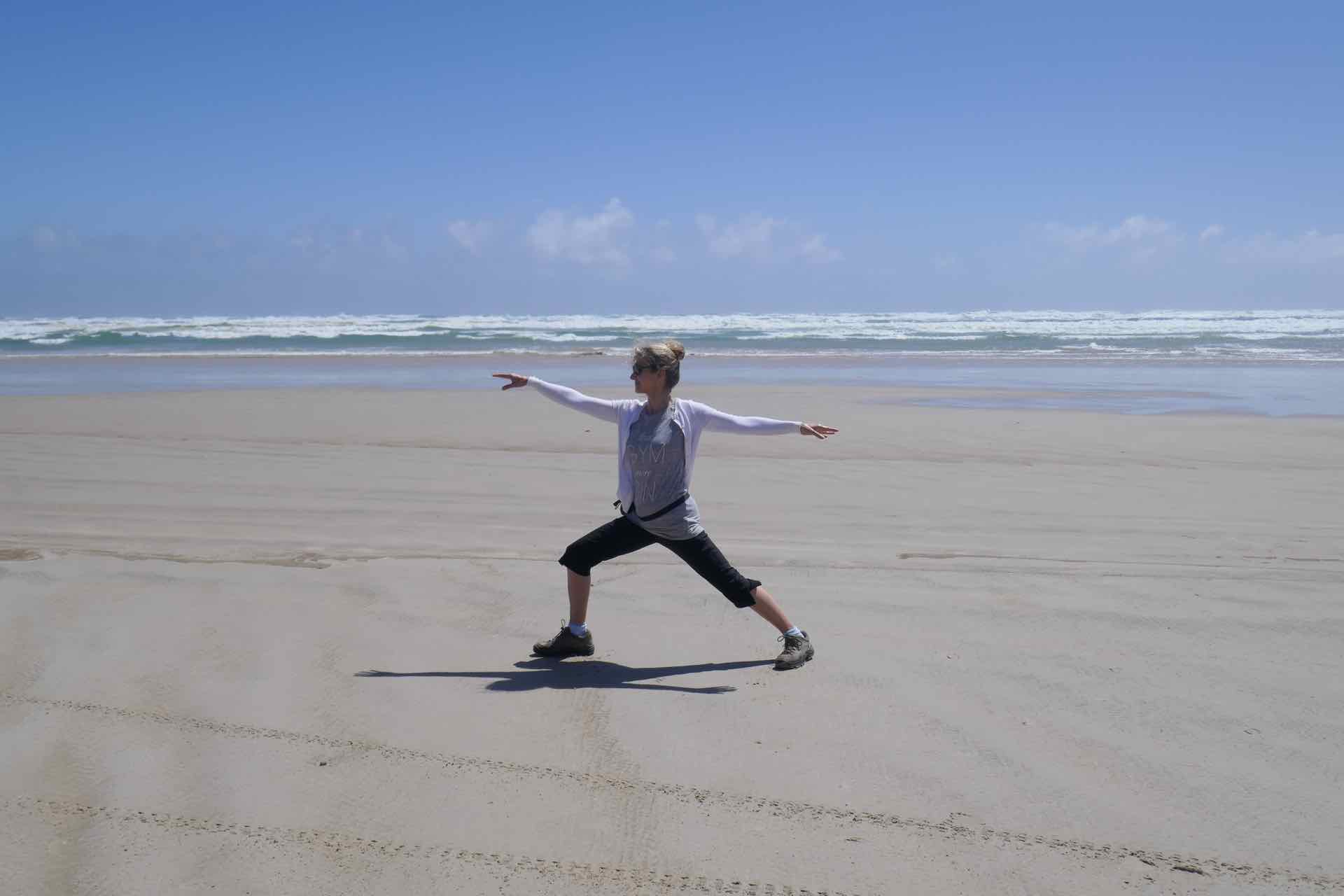

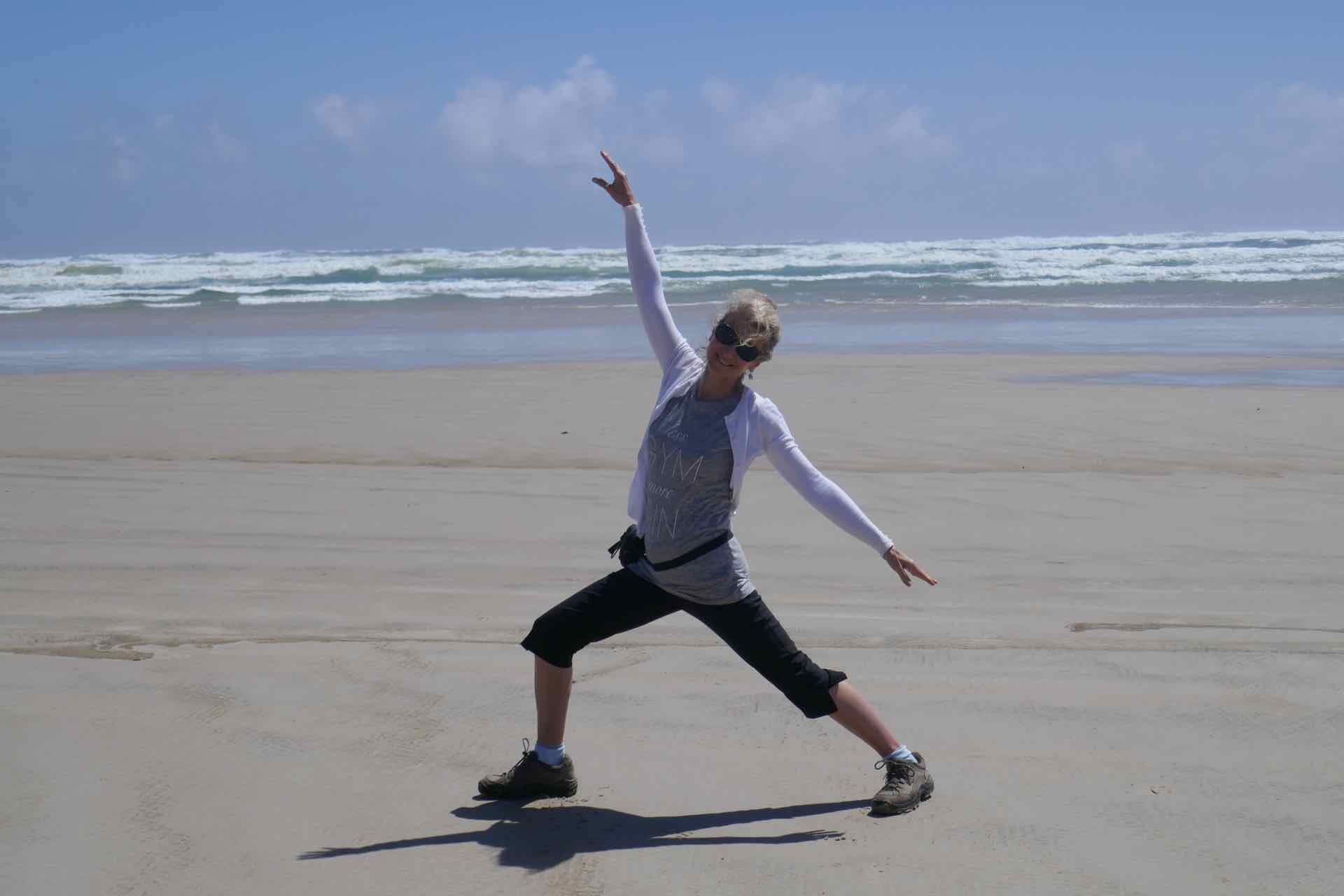

Yoga on Ocean Beach
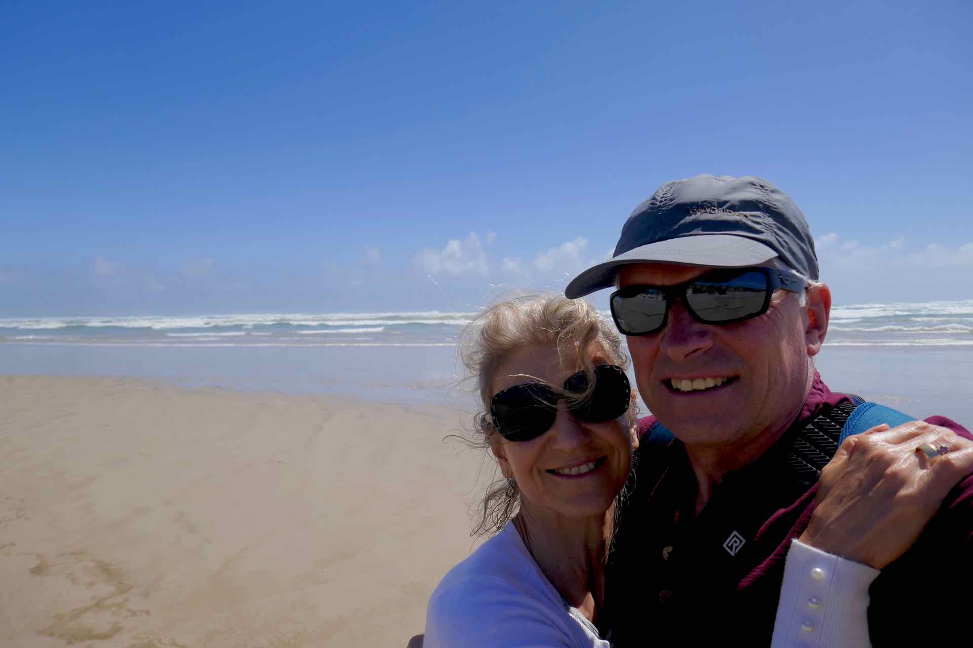
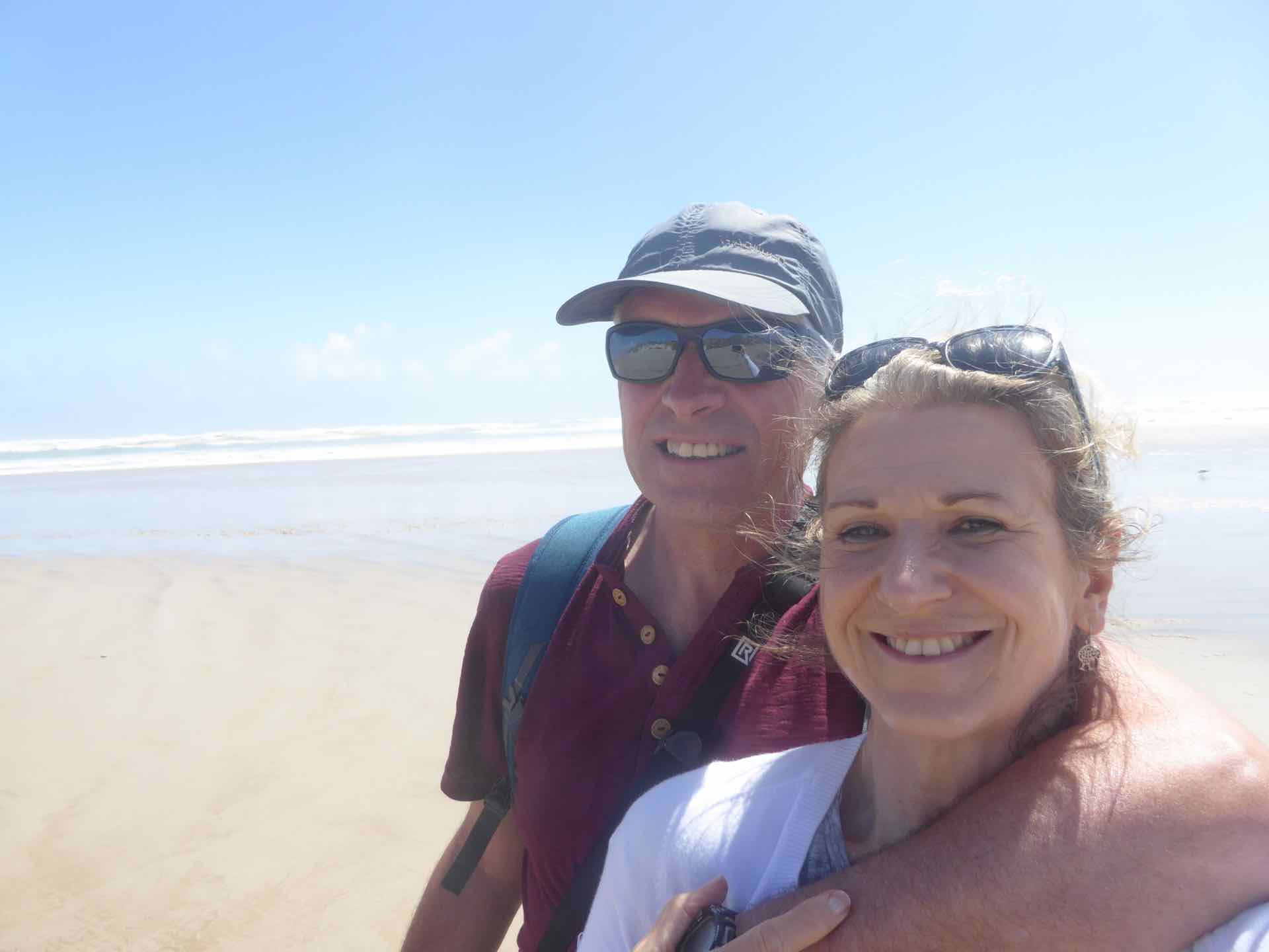
Us on Ocean Beach
Further down the coast was Macquarie Heads, the entrance to the harbour. We set off to drive the 13km, but having driven past the Strahan airstrip – they call it an airport, it isn’t; no buildings one short runway and no taxiway – the road surface changed from a sealed surface to a gravel track. This is a no-no for us. Our hire car is a Holden (Aussie Vauxhall) Commodore – not really an off road vehicle – and as our insurance is invalidated if we start driving on unsealed roads we elected not to try, not for 11km anyway. We would see Macquarie Heads from a different angle later in the week.
As well as the Heritage Railway there is also the World Heritage Cruises, which offer trips around Macquarie Harbour and up the Gordon River to the heart of Huon Pine country.
The boat is a lovely, large catamaran which holds around 200 people but I reckon there were only about 50 on board which made for plenty of space and more food for the complementary lunch.


Clockwise from top: Our cruise boat for the day; The mountains from the harbour; Lyn cruising.
We departed and headed for the aforementioned Macquarie Heads and Hells Gates, so named by the prisoners being brought to the penal colony at Sarah Island, sailing through the narrow channel between the rocks, out of the Roaring Forties and Southern Ocean and all they can see is their destination in the distance it must have been hell for them. We sailed out through the “gates” for about half a mile, just to get a taste of the ocean with the waves and the wind, before turning back in to the shelter of the harbour. We went from calm sea to pitching and rolling in 25kt winds in the space of about three minutes and it made standing on the bow viewing area a very challenging experience.
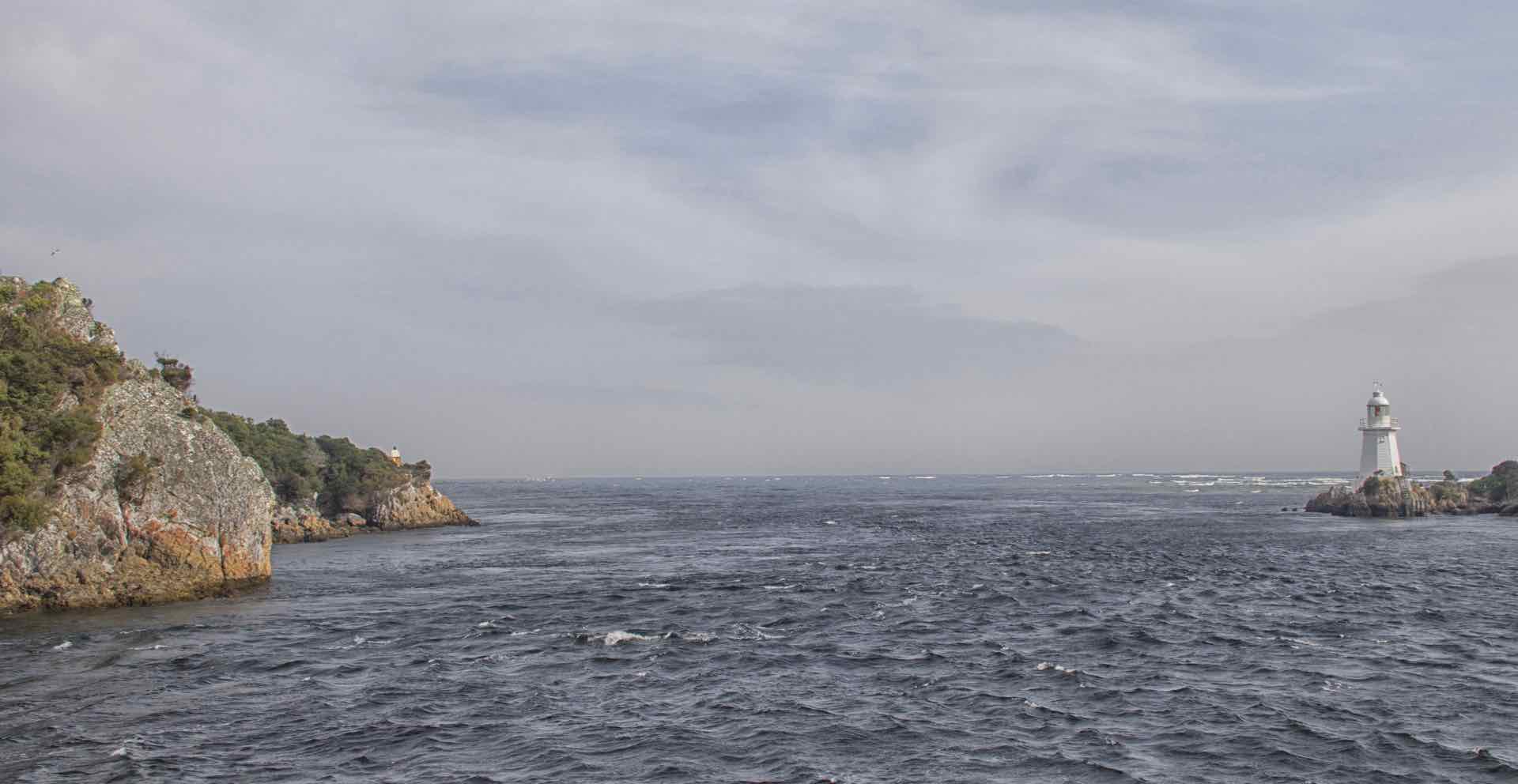
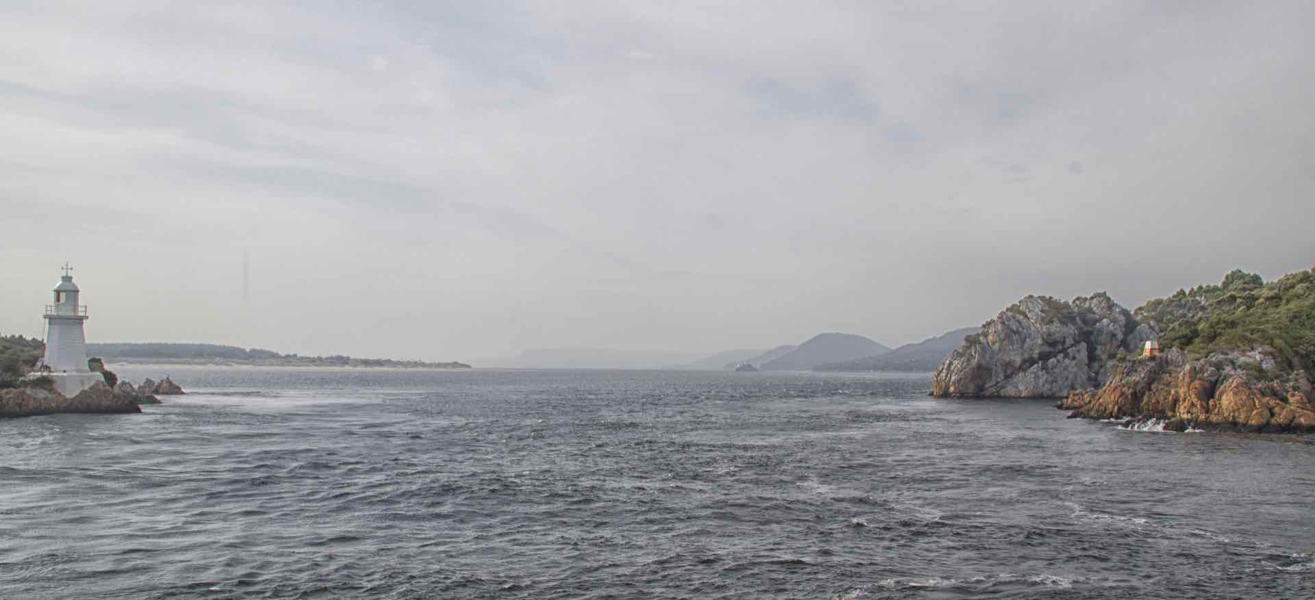
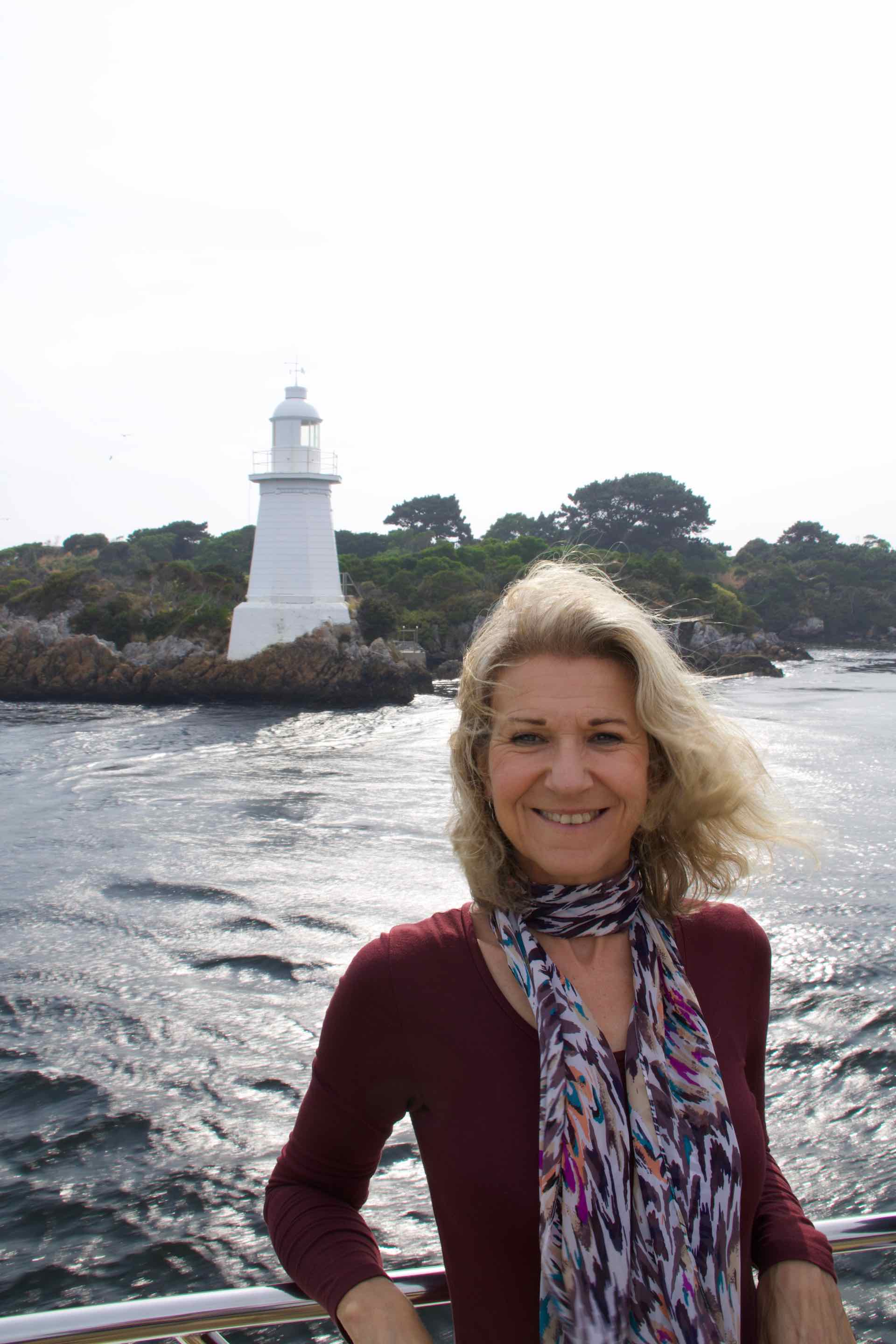


Clockwise from top left: Approaching Hells Gates from inside the harbour; Looking in from the outside; Lyn as we approach Hells Gates; Lyn back in calmer waters; The cruise to Sarah Island.


Just cruisin’ along
Back into the calmer waters our cruise continued to Sarah Island. Established as a Penal Colony before Port Arthur was built it was created to house the worst convicts and those who had escaped from other settlements. Its isolated location, and an island, meant it was ideally suited for the purpose. Surrounded by a mountainous wilderness with the only access via treacherous seas it was hundreds of miles from other settlements. It was thought to be escape proof.
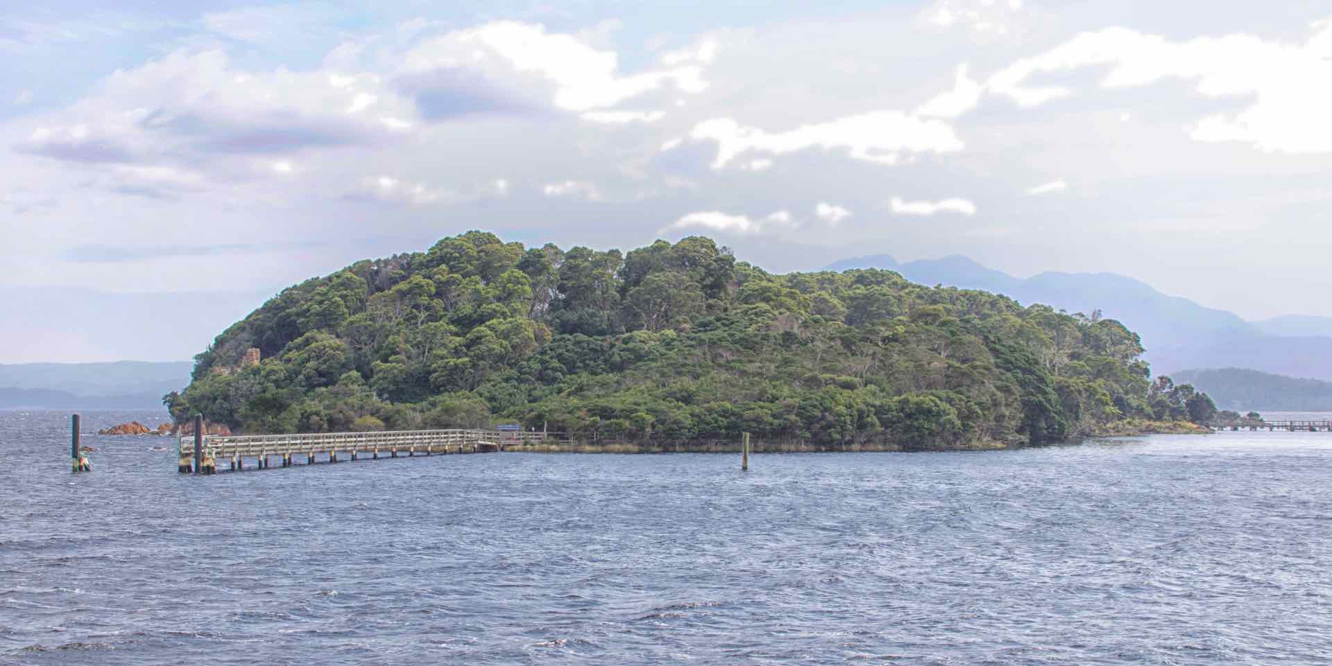
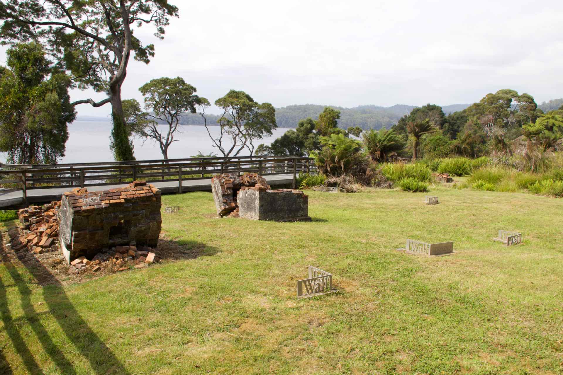

Clockwise from top left: Welcome to Sarah Island; Prisoners daily muster point; What is left of the Solitary Confinement building; site of the settlers dwellings.
The guided tour told us otherwise. Successive governors instilled a harsh regime and there were a number of escape attempts some successful. Indeed one escapee, James Goodwin, was pardoned after his 1828 escape and was subsequently employed to make official surveys of the wilderness he had passed through! The tour took in various sites around the island and the guides told stories of the life, including the rise of shipbuilding using the local wood.


Clockwise from top left: Part of the old bakery ovens; Lyn on Sarah Island; Escape is impossible – the Wilderness Mountains from Sarah Island.
The Penal Colony on the island was closed in the 1830’s once Port Arthur was opened and the island reverted to the production of wood for ship building. Men known as “Piners” were employed to cut down and harvest the wood and they renamed it Settlement Island in order to rid it of its reputation as a penal colony though it later reverted to its original name.
From Sarah Island we cruised further up the harbour and into the Gordon River, and the rain forest which is the source of the Huon Pine. The contrast between Hells Gate, the harbour waters and the Gordon River was stark. From wind and waves to quiet, calm and tranquility as we sailed slowly up river. The second stop was for the walk through the rain forest to see the Huon Pine up close.

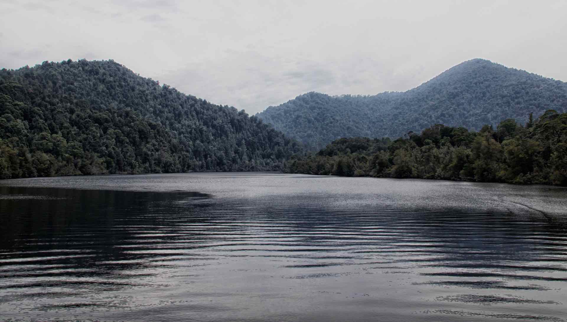

Clockwise from top left: The mouth of the Gordon River; Peace and tranquility on the river; The light foliage of the Huon Pine; The river narrows.


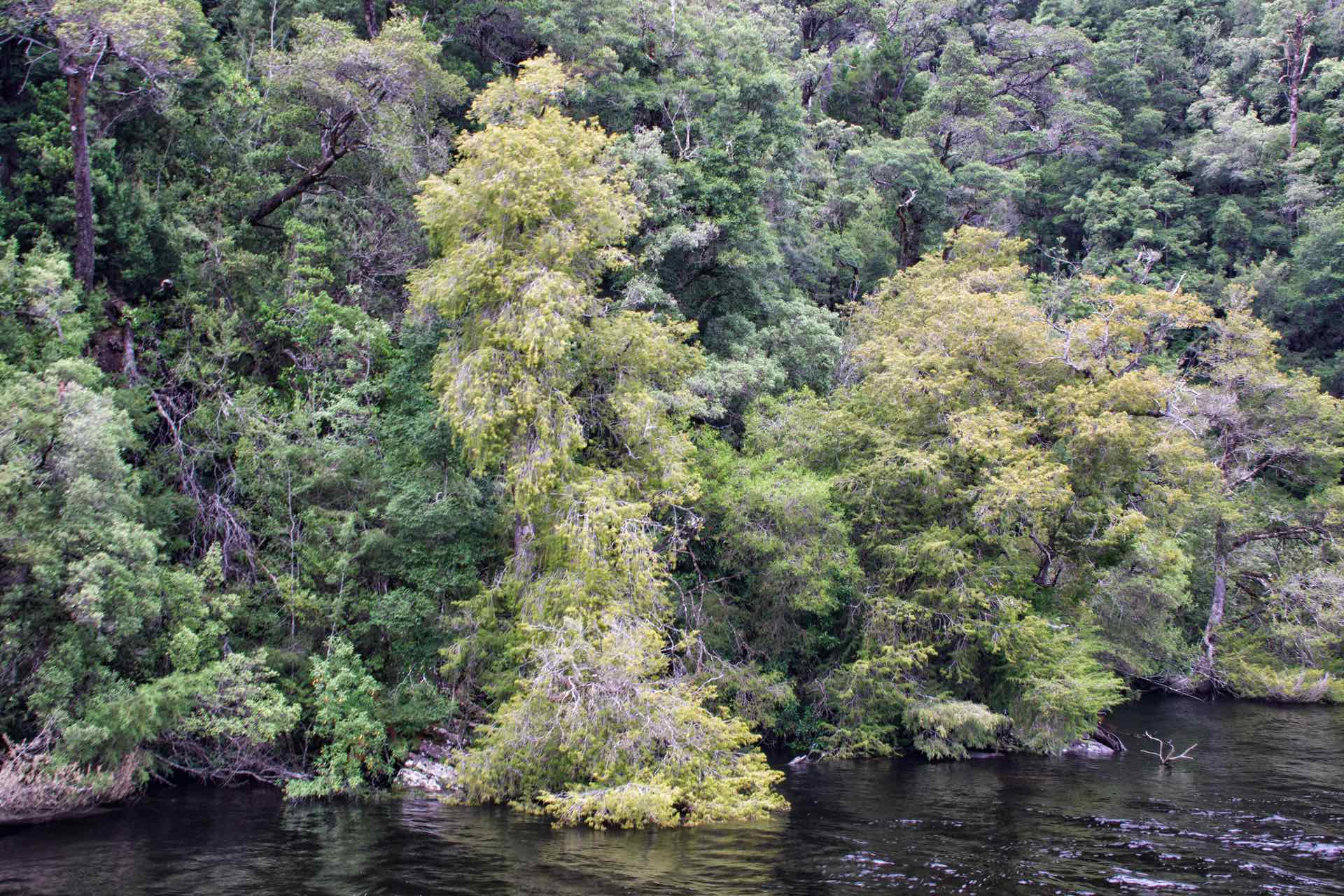
Mosaic of shots from the rain forest walk
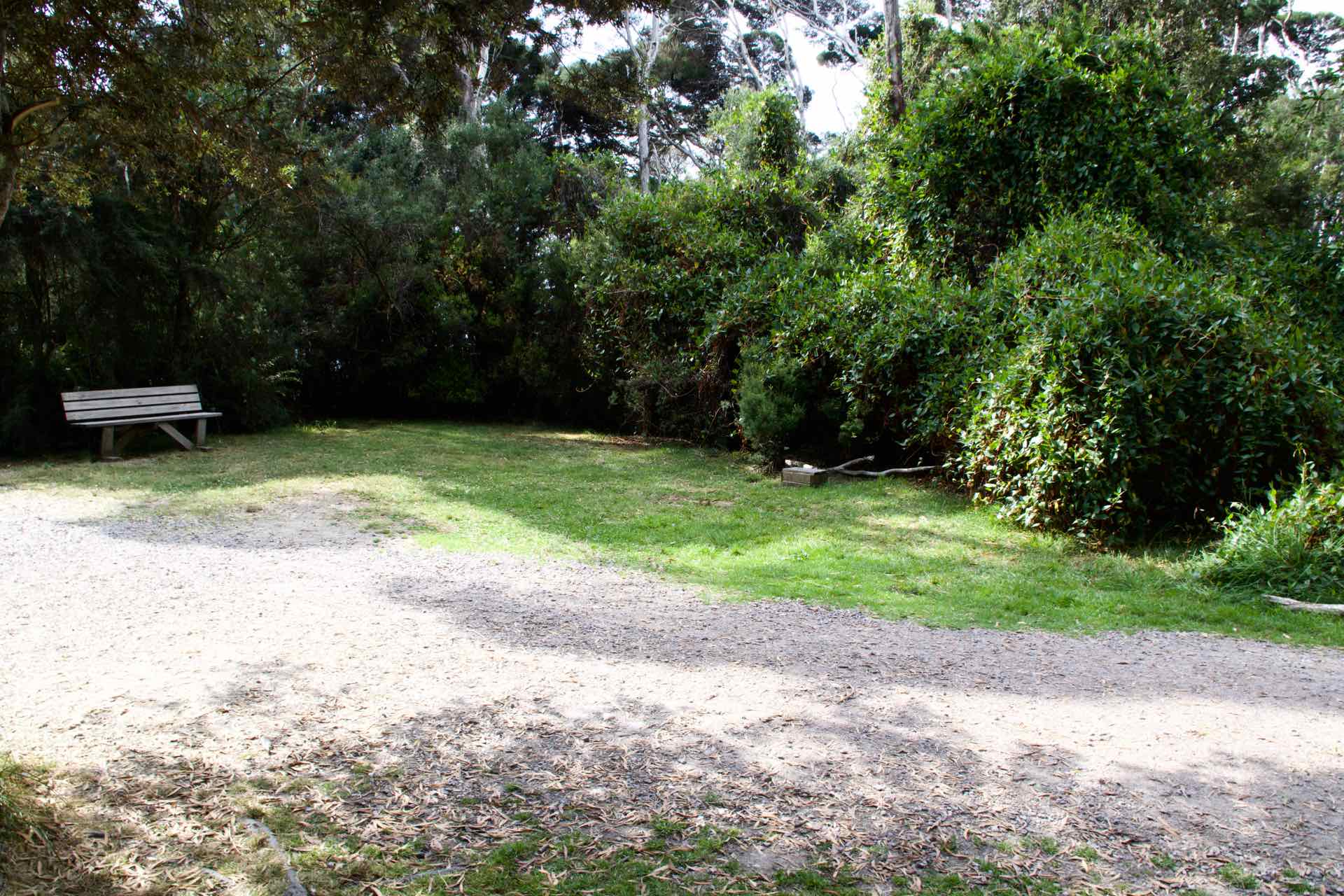
We pulled alongside a large wooden jetty made of the Huon Pine and followed the boardwalk through the forest, looking out for the deadly Tiger Snake, common in these parts. The noise of nature, the birdlife, the creaking of tree branches was interrupted by the noise of tourists making their way through this peaceful haven. I began to wonder if we should really be here or should we leave it to the wildlife, after all, they do live here, we are the interlopers. It was only a short boardwalk but nonetheless fascinating looking at the species of wildlife and trees in this part of the forest.
Huon Pine is found only in this area of Tasmania and is very slow growing, at around 1 mm per year. There are trees in the forest that are over 3000 years old. The Huon Pine was used to build wooden ships. It has an oily sap which makes it waterproof and ideal for ship building, which was its main use for many years. When Sarah Island was closed as a prison, the wood was harvested by “Piners”, local men employed to fell the trees and cut them to lengths to be used for boat building. It was a hard life for them, they would spend up to six weeks away from their families, living in the forest chopping Huon Pine. The last of the “Piners” was laid off in 1969 and their role passed into history. Today there are very few “Piners” left alive and they told their story in a unique video shown on the cruise back to Strahan.
Strahan was a relaxed and a very easy place to be, and we enjoyed the time we had there. As with all places our Tour de Tassie means we eventually have to move on and with fond memories made here we loaded up our car and headed back along the highway to Queenstown. Our departure had brought a change in the weather and it was raining as we drove in to Queenstown for a look around we had promised ourselves when we last came this way.
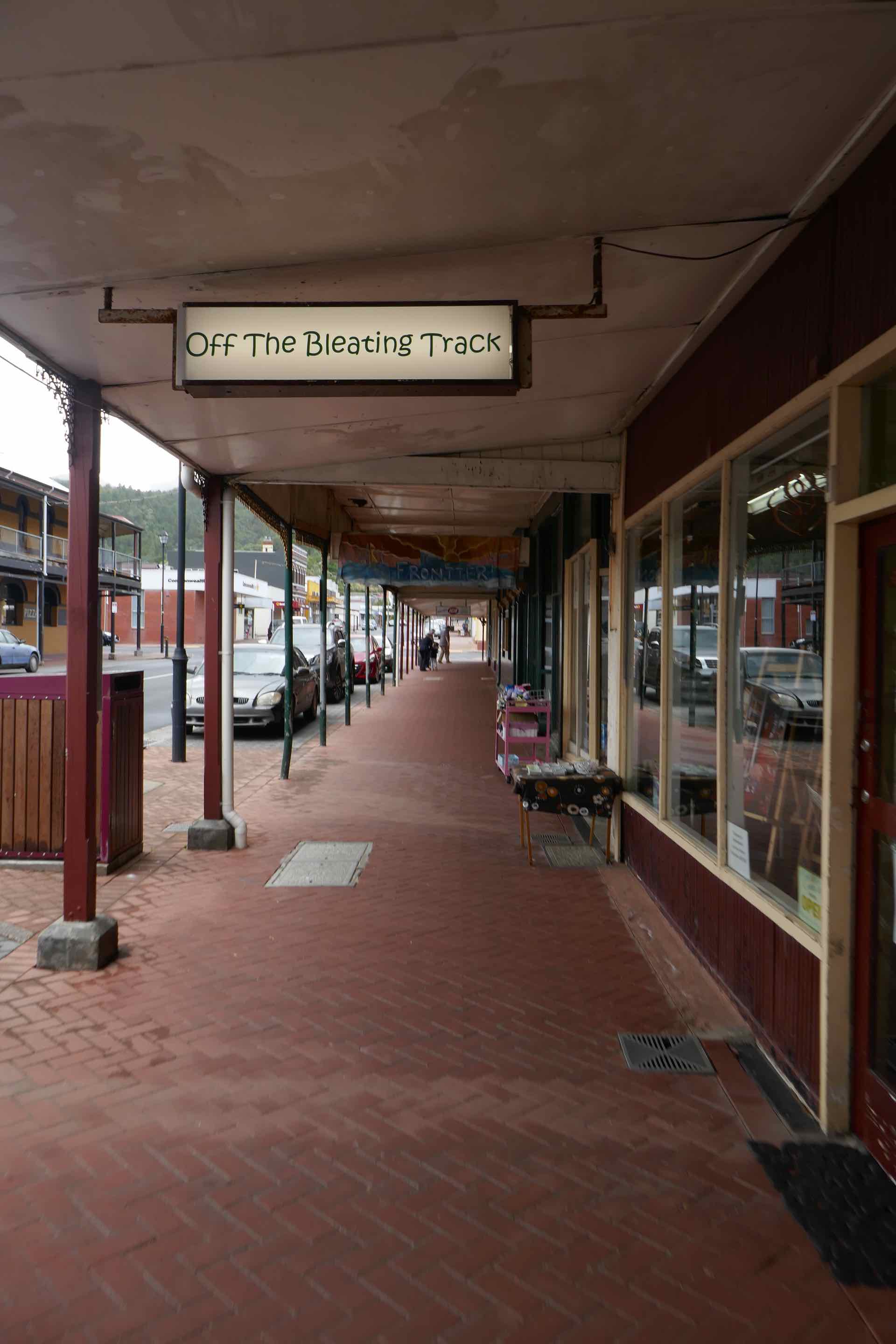
As we drove in we remarked how tatty the place looked and more than a little run down. However the locals are friendly and as we were about to dive into a cafe for our morning coffee, an older couple stopped us to say hello and suggested we try one further down the road as it was the best in town! So we did, and comparing the environment of the two I think we were well advised. We lingered a while for a look round before heading on to our next destination, Penguin, on the north coast, another change of scenery, and hopefully weather!
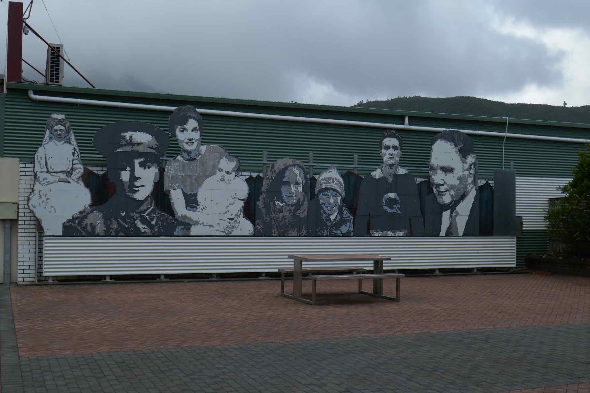


Clockwise from top left: Mural as you enter Queenstown; Our coffee stop; Empire Hotel Queenstown; General store; Main Street Queenstown.
