After the battering we received on Graig Fan Ddu ridge the other day it was time for something a little more relaxing. The weather had relented somewhat and had blessed us with some occasional autumn sunshine as we made our way firstly to Abergavenny for a look round and coffee, then on to Brecon. It was also my birthday so we were relieved to be blessed with a sunny, warm(ish) day.
We had found a flat, shorter walk along the Brecon to Monmouth Canal which would be a pleasant change from our wet adventures of the other day.
But first to Abergavenny. It is a small market town almost entirely surrounded by hills and mountains and is regarded as the gateway to Wales and the Brecon Beacons beyond. Early history suggests that there was a roman fort on this site named Gobannium. It was not until the 11th Century that Abergavenny began to grow as a town under Norman rule. The first Baron was Hamelin de Balun, from Ballon, a small town near Le Mans, France. Yes, the Le Mans of 24 hour race fame, although no sign of a link today in Abergavenny. I suppose the Abergavenny 24 hour race does not have the same ring to it! There is an interesting footnote to the town’s history. In 1404, the town was attacked by Owain Glyndwr the rebel Welsh leader who was responsible for a fierce yet ultimately unsuccessful war of independence against the English. They plundered homes and churches and after the victory his son declared Abegavenny an independent nation. This nation state lasted all of two weeks!
The town had its usual mix of shops and cafes but other than a lovely coffee and cake, we found little to keep us long in Abergavenny.
We arrived in Brecon and made our way to the Brecon Canal Basin, the origin of the Monmouthshire and Brecon Canal. The canal was part of a small local network of waterways constructed in the late 18th century as part of an industrial corridor to transport coal, limestone and iron to and from Newport and beyond. The local canal network declined with the development of the railways and eventually fell into disrepair in the 1960s.
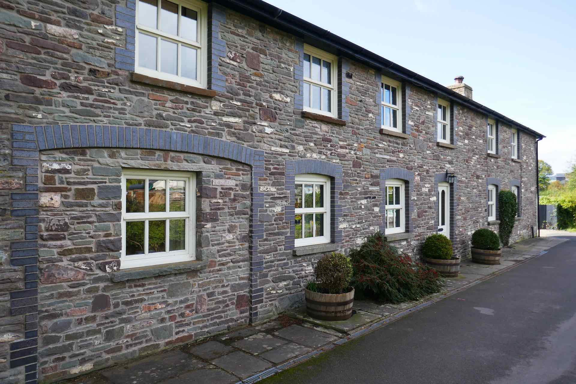

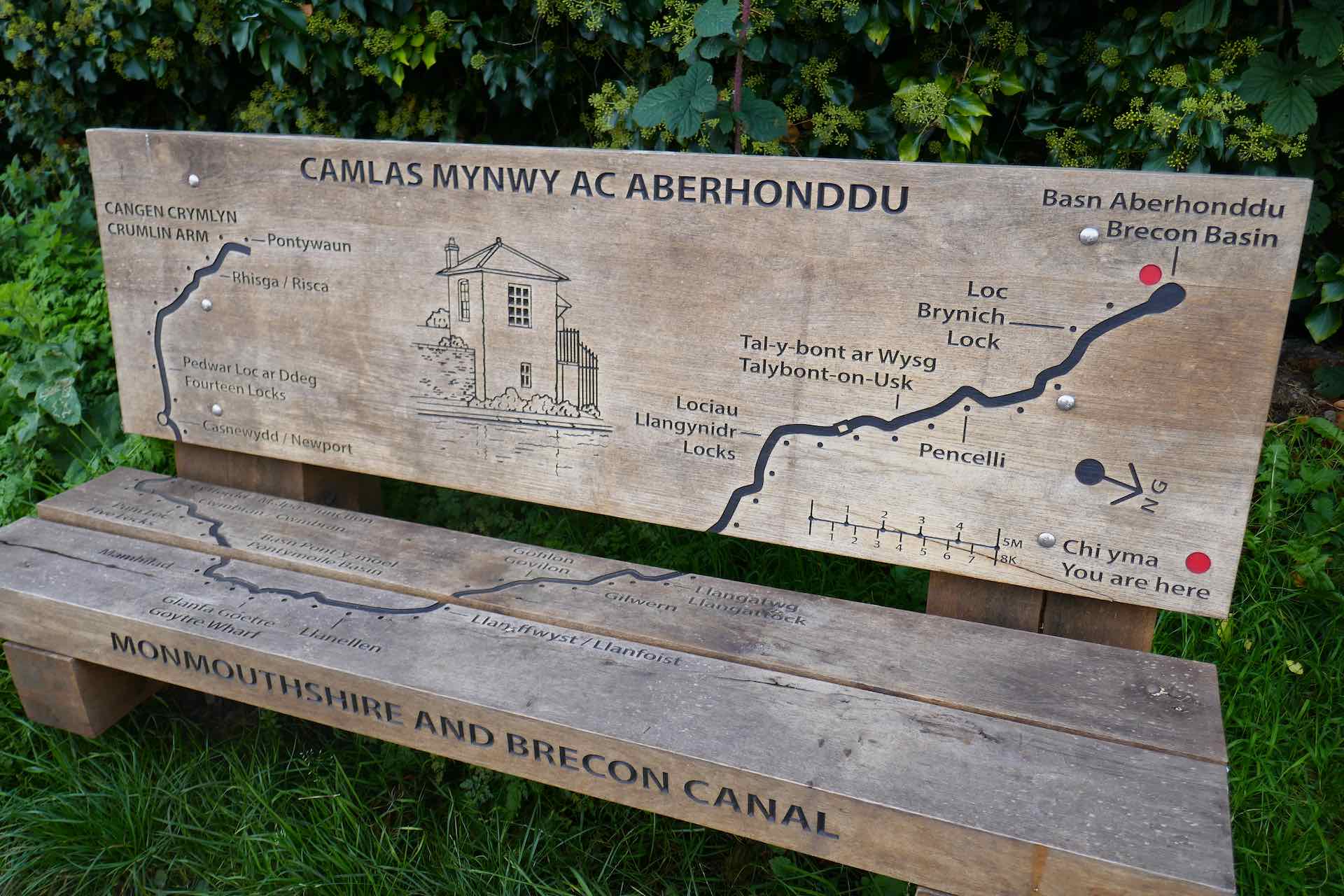

Clockwise from top left: Lock keepers cottages – now converted to one large one; Looking back to Brecon Basin; Lyn with wood carving at Watton Wharf; Bench with canal route.
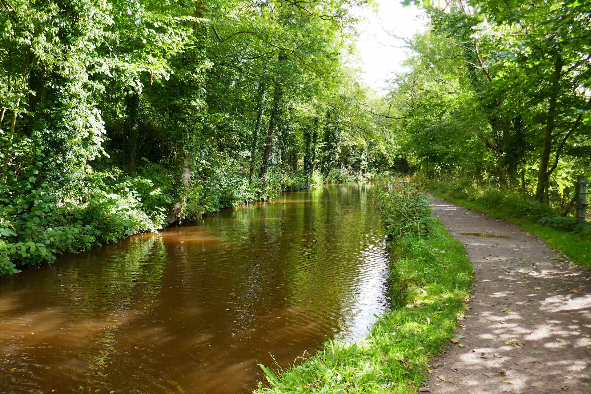
In recent years funding to restore the waterways has been provided from numerous sources and the area is now an attractive route for narrowboats and other craft. The towpath is accessible for walkers and cyclists for almost its whole length. Much of the original infrastructure such as the old bridges, tunnels and locks remains and has been restored by skilled craftsmen aided by willing and enthusiastic volunteers. As well as canal users, the waterway is home to a variety of wildlife, birds and plant life.
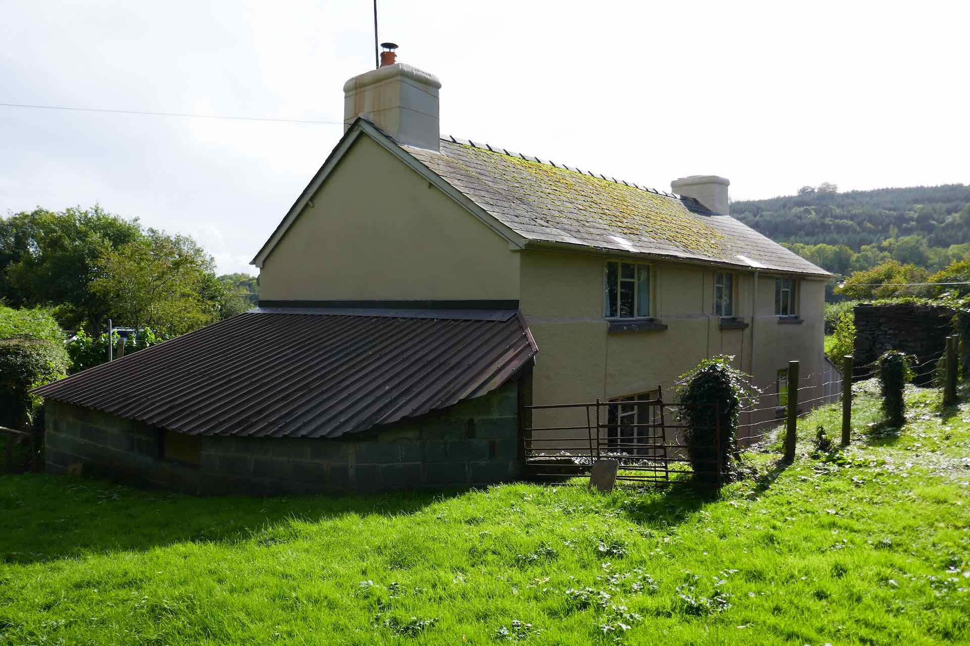
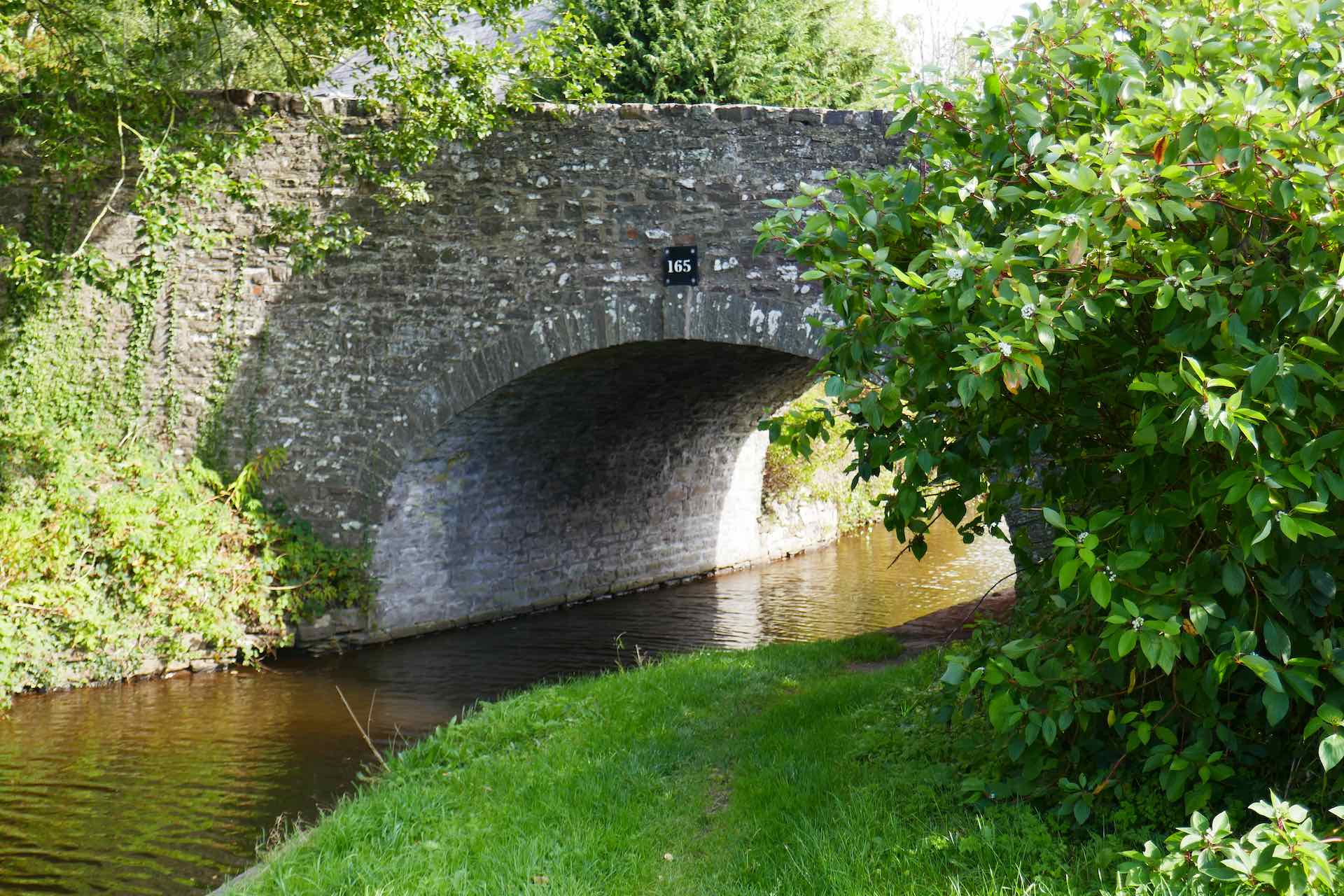
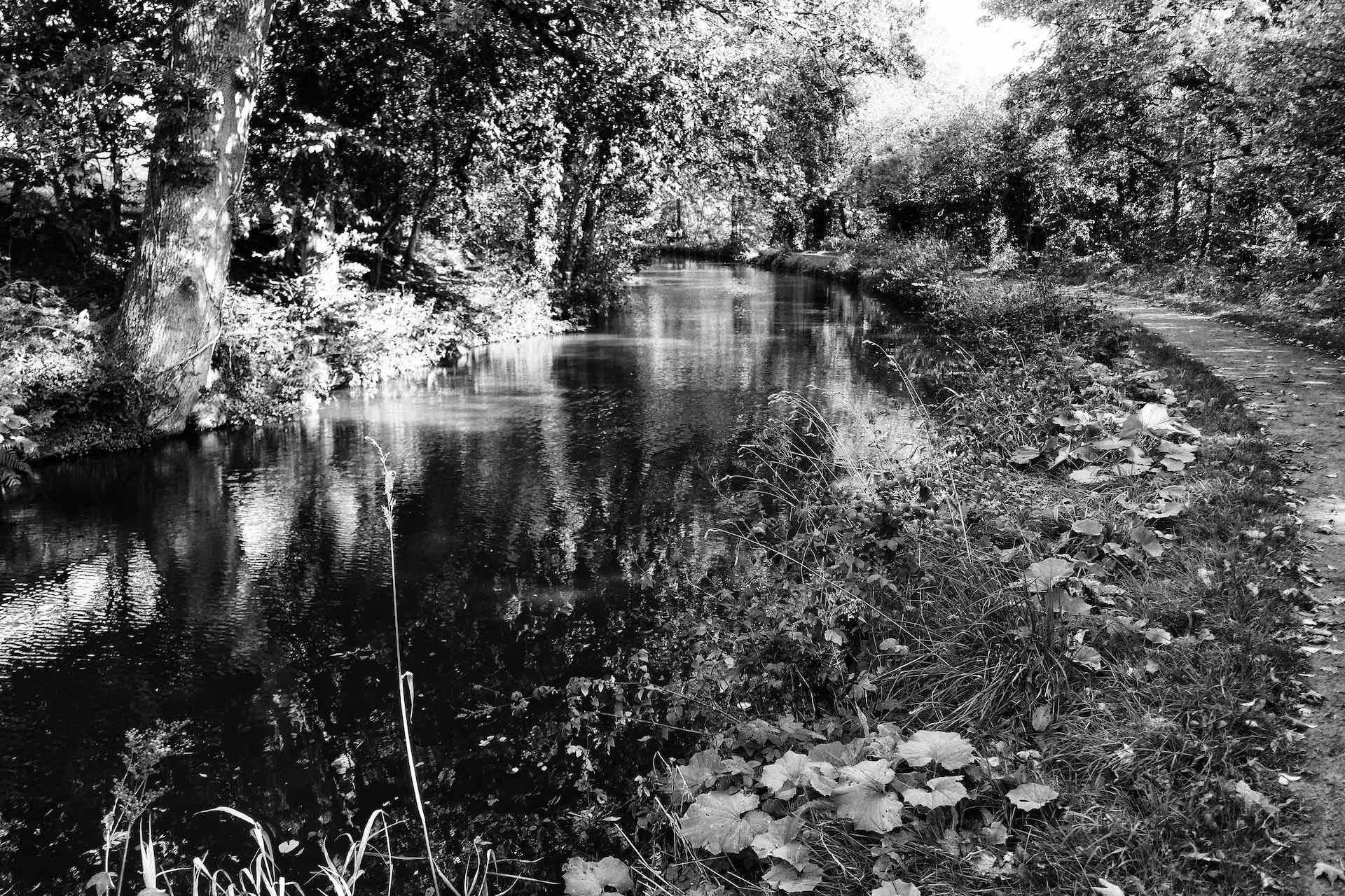
Clockwise from top left: This cottage was all that was left from the Watton Limekilns factory; Another bridge; Mono of the towpath; More towpath.
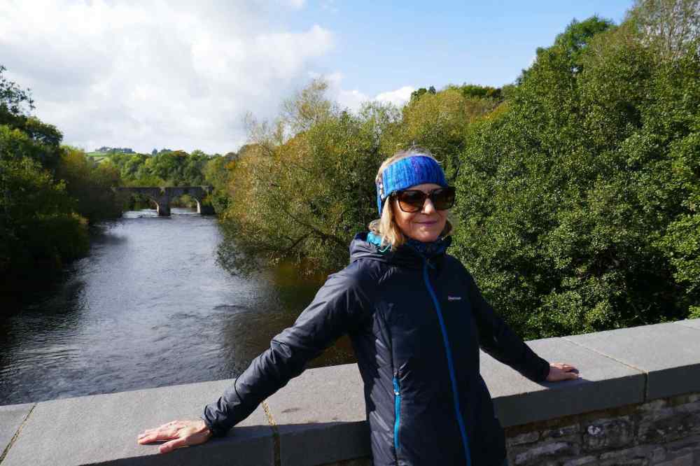
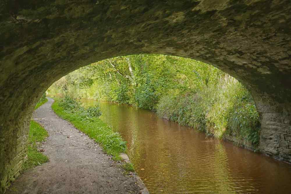
Top: Lyn on the aqueduct over the River Usk, just before our turning point; Bottom: Under the bridge.
Other than the canal itself, there was little evidence of the area’s industrial past as we walked out of the basin, save for a few information boards and a couple of wood carvings depicting activity on the then working canal. The towpath followed a tranquil route to an aqueduct crossing the river Usk where we turned away from the canal and followed the river path back to Brecon. The walk in lovely sunshine was accompanied by a cool breeze, which together with the turning leaves reminded us it was autumn. It was a welcome relaxing day and thankfully dry!
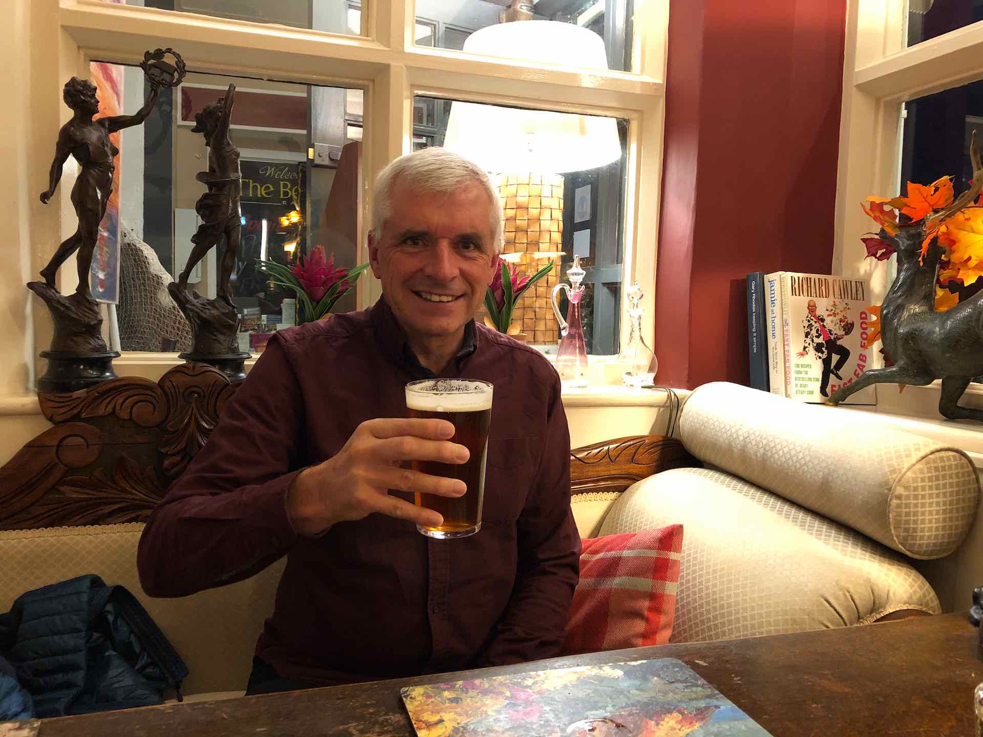

Celebrating my birthday in Raglan near Usk
About 30 minutes away from our base is one of the areas most famous landmarks, Symonds Yat. The River Wye carves its way through the scenic valley and splits the village of the same name in two, with the eastern half in Gloucestershire and the western side in Herefordshire. It is said that the village’s name comes from Robert Symonds, a 17th-century sheriff of Herefordshire, with “Yat” being an old word for a gate or pass. The river is noted for the rapids which flow through the gorge, and this area is a magnet for kayakers and canoeists wishing to test their skills on the white water course recently set up by the British Canoe Union.
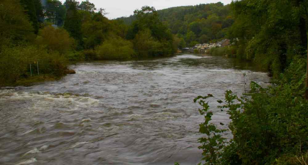
River Wye at Symonds Yat
Overlooking a large 180 degree bend in the river is the spectacular Yat Rock. It provides stunning views of the gorge through which the River Wye flows and is the start point for a of walks, many leading down the side of the rock to the riverside. The rock also has a small cafe and mounted telescopes placed around by the RSPB to enable visitors to watch numerous raptors. Breeds including buzzards, goshawks and hobbies are regularly seen and it is sometimes possible to see migrant raptors such as ospreys and European honey buzzards. The area also has a pair of resident Peregrine Falcons which nest annually on the rock. Sadly the only activity on the rock when we visited were the numerous visitors admiring the views and walking the woodland trails nearby.
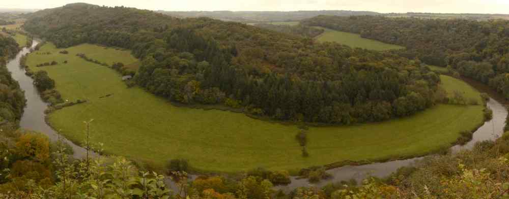
River Wye from Yat Rock – stitched together from 6 separate images


Left to Right: Us on Yat Rock with the River Wye in the background; Symonds Yat East village; Riverside path.
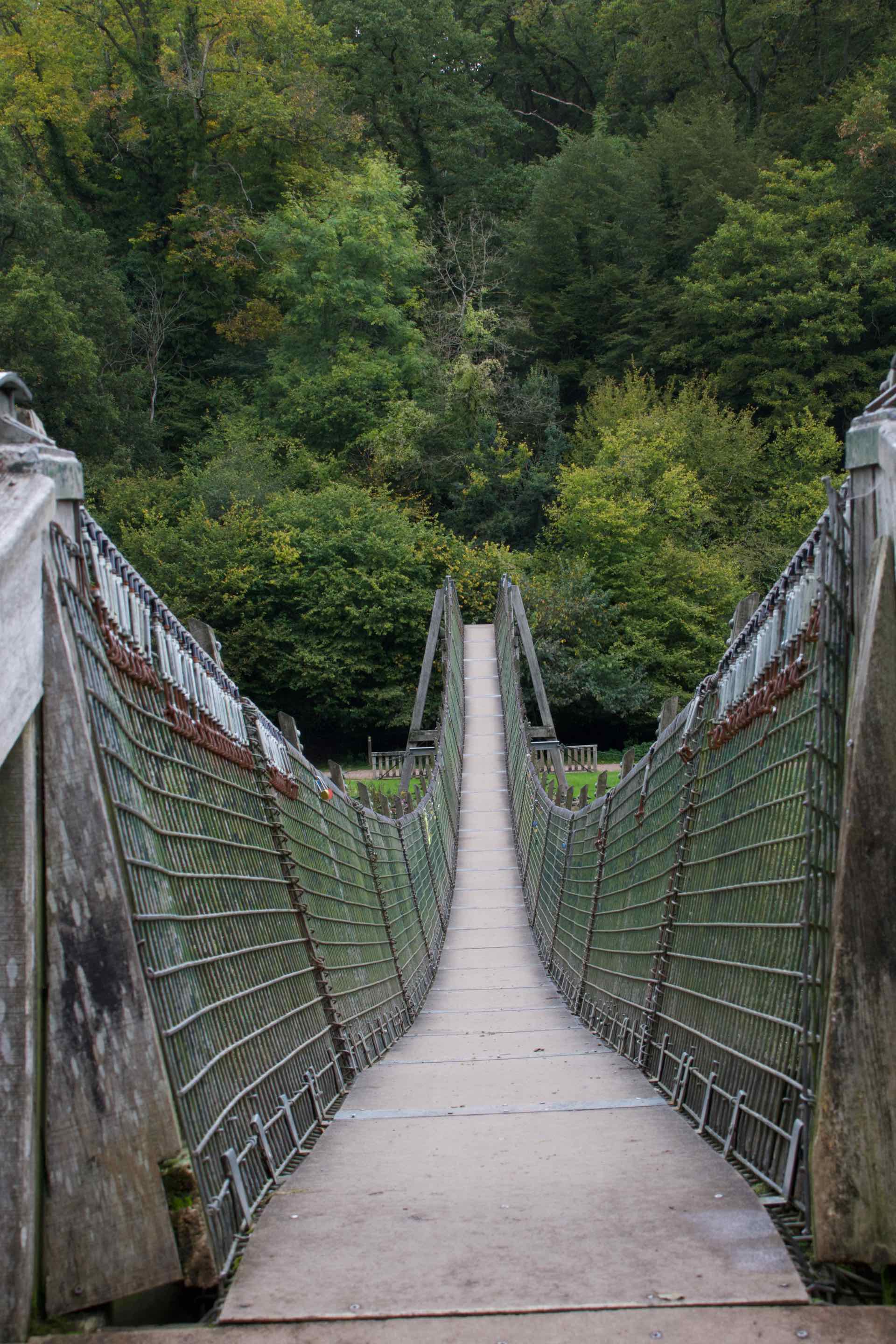
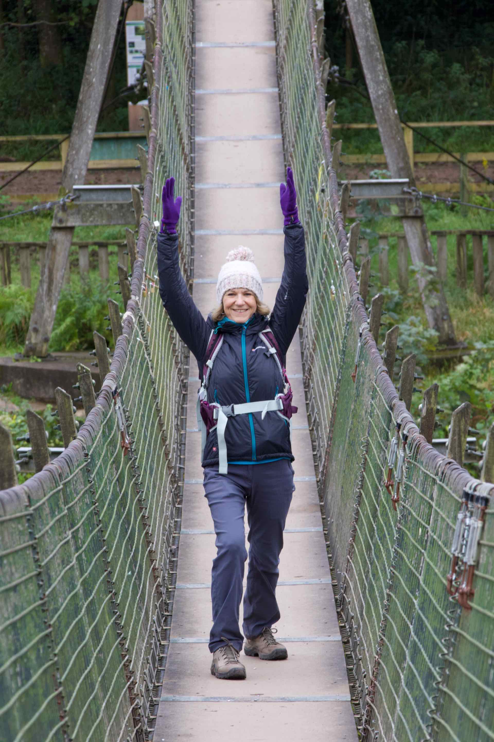
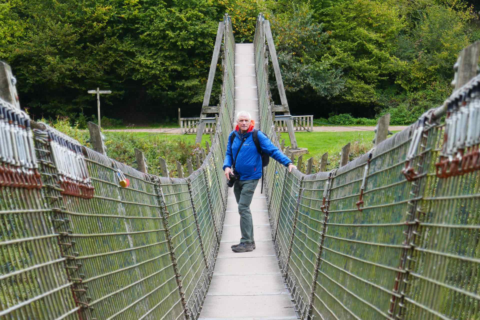
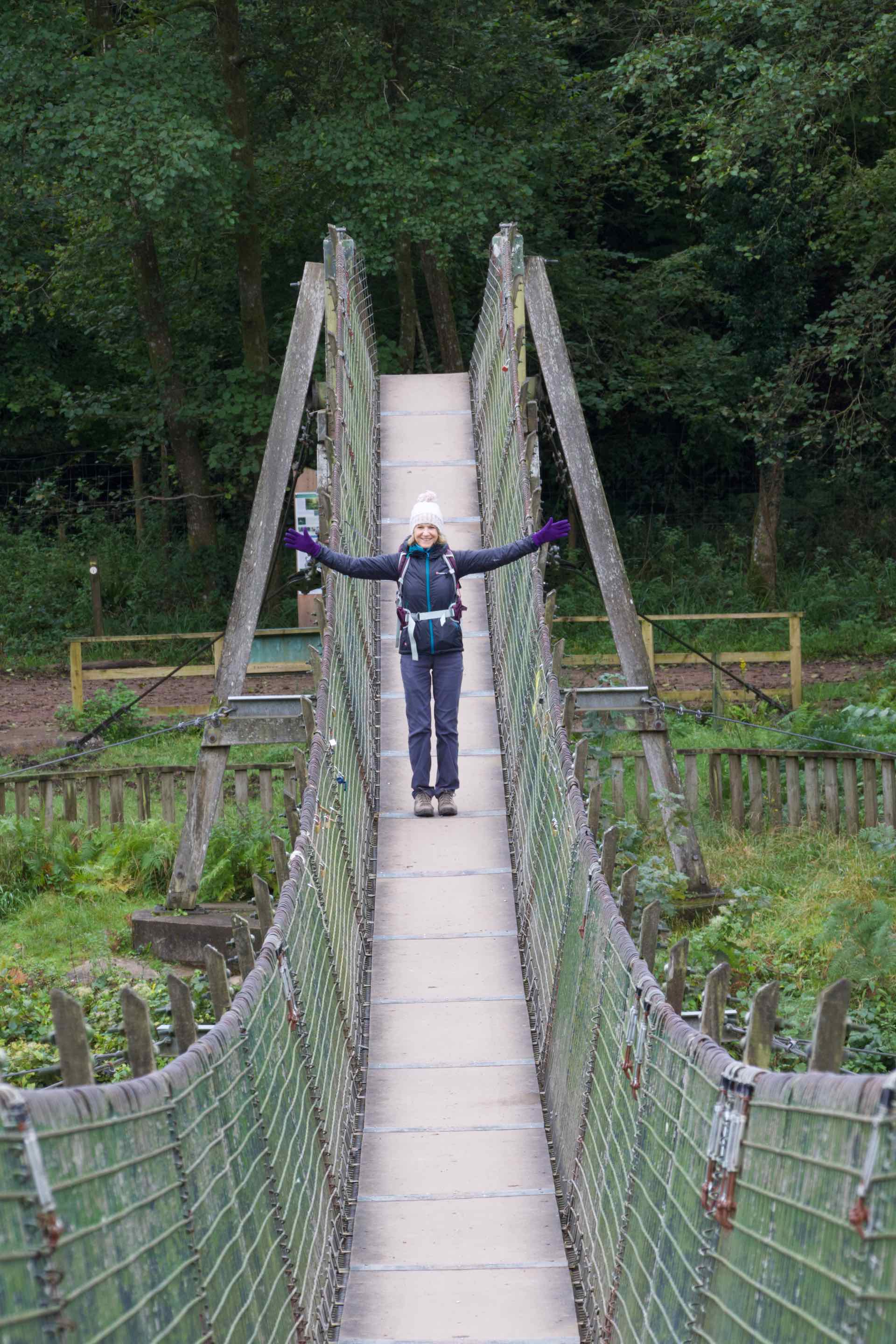
Four images of the rickety footbridge
This is a popular outdoors area and we met many walkers as we made our way down the rock path to the river and followed its path to an old footbridge and campsite. The walk ended with a steep climb back up the path we had descended earlier, oh and it was raining again!
Whenever we come to Wales we always end up dodging rain showers or ending up caught in them. Nevertheless it was a great week of walking and socialising with our friends from this part of the world. Here’s to next time, we will come again when the sun shines!

Thanks for the tour, beautiful place
LikeLike
Thank you. Yes it was well worth a visit.
LikeLiked by 1 person